
Note: All photos on this page courtesy of the U.S. Forest Service, Mt. Hood National Forest
Lookouts:
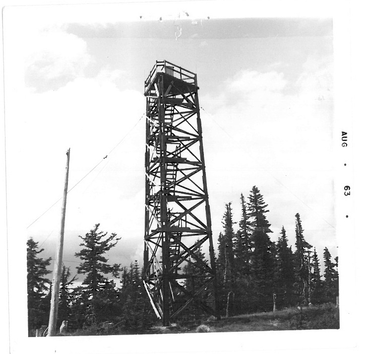
Hawk Mountain Lookout – 1963
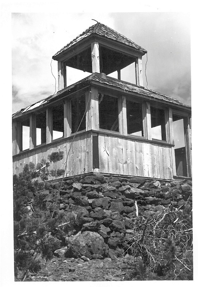
Bull of the Woods Lookout – Undated
Bull of the Woods Lookout – Undated
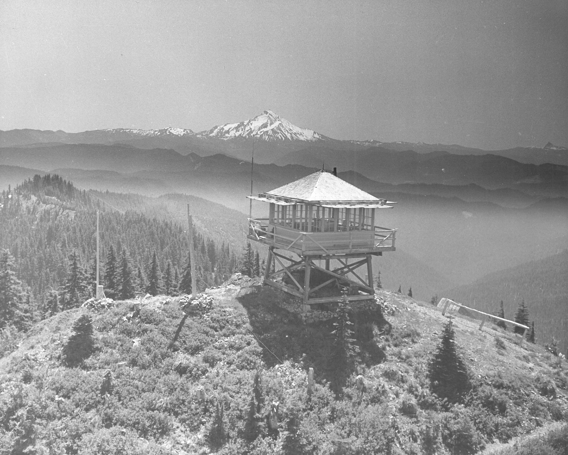
Oak Grove Butte Lookout – Undated
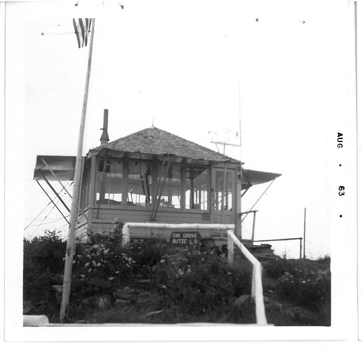
Oak Grove Butte Lookout – Undated
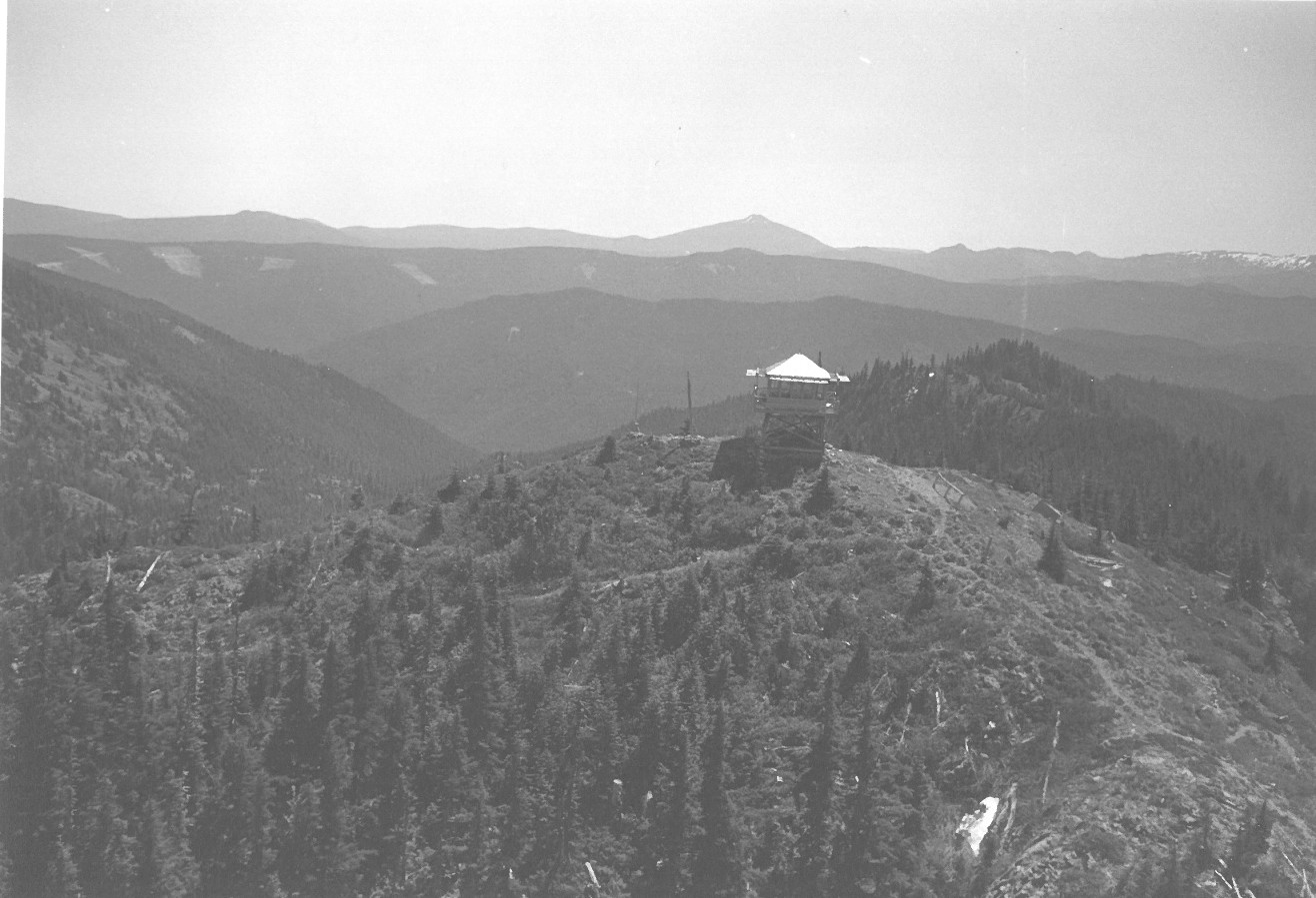
Olallie Butte Lookout – 1963
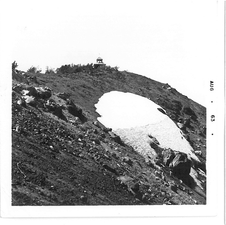
Olallie Butte Lookout – 1963
Olallie Area:
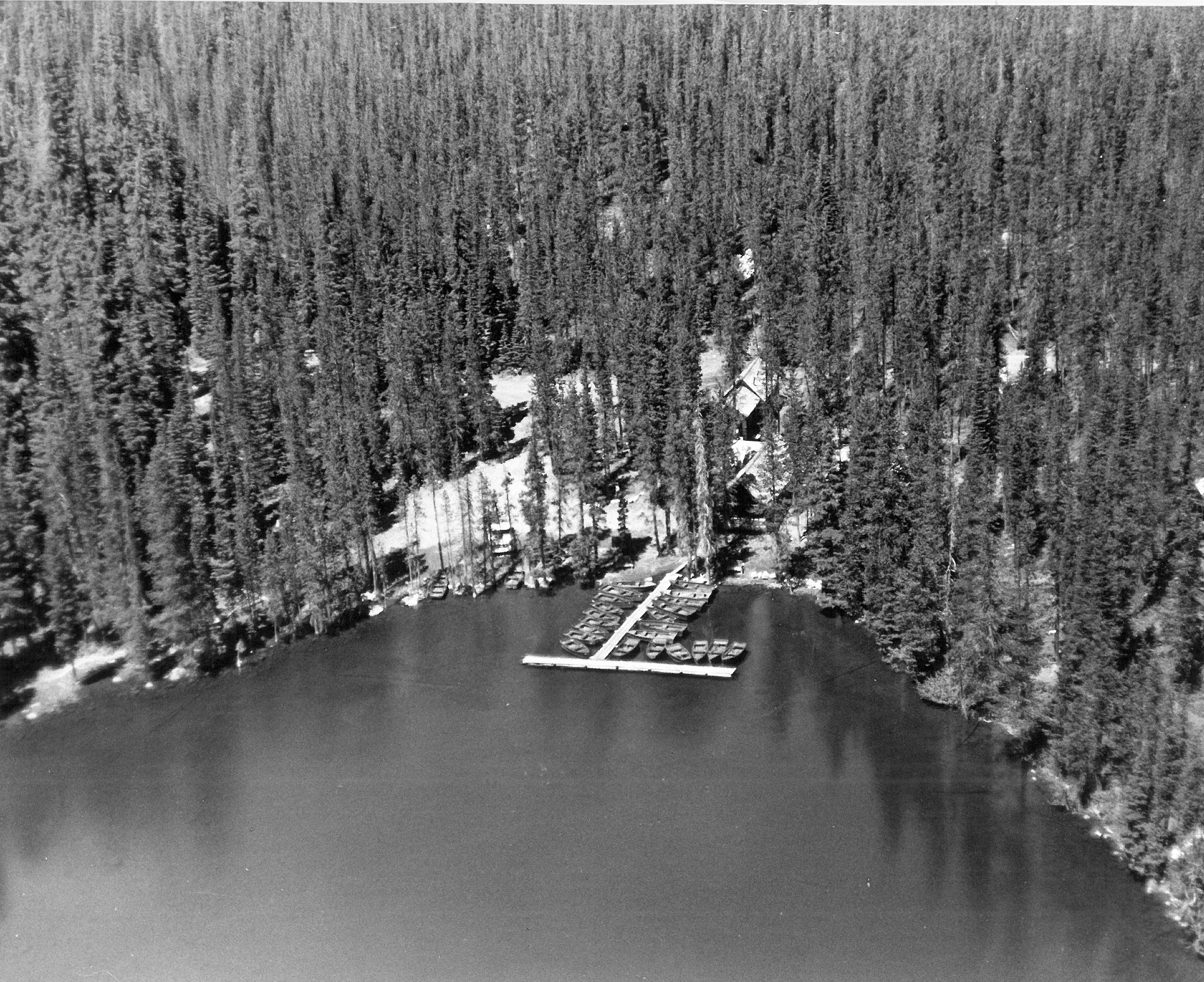
Olallie Lake Resort – Undated
Olallie Butte Trail – Undated
Monon Lake – Undated
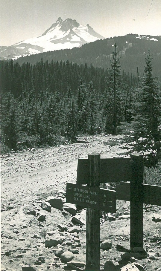
Trail to Jefferson Park Sign – Road 4220? – Undated
Olallie Meadow – Undated
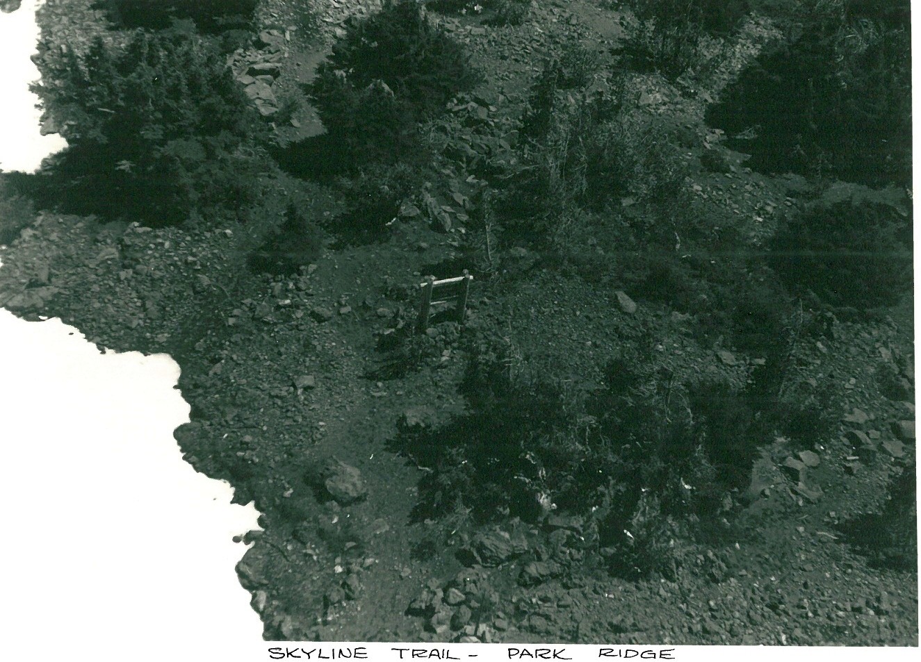
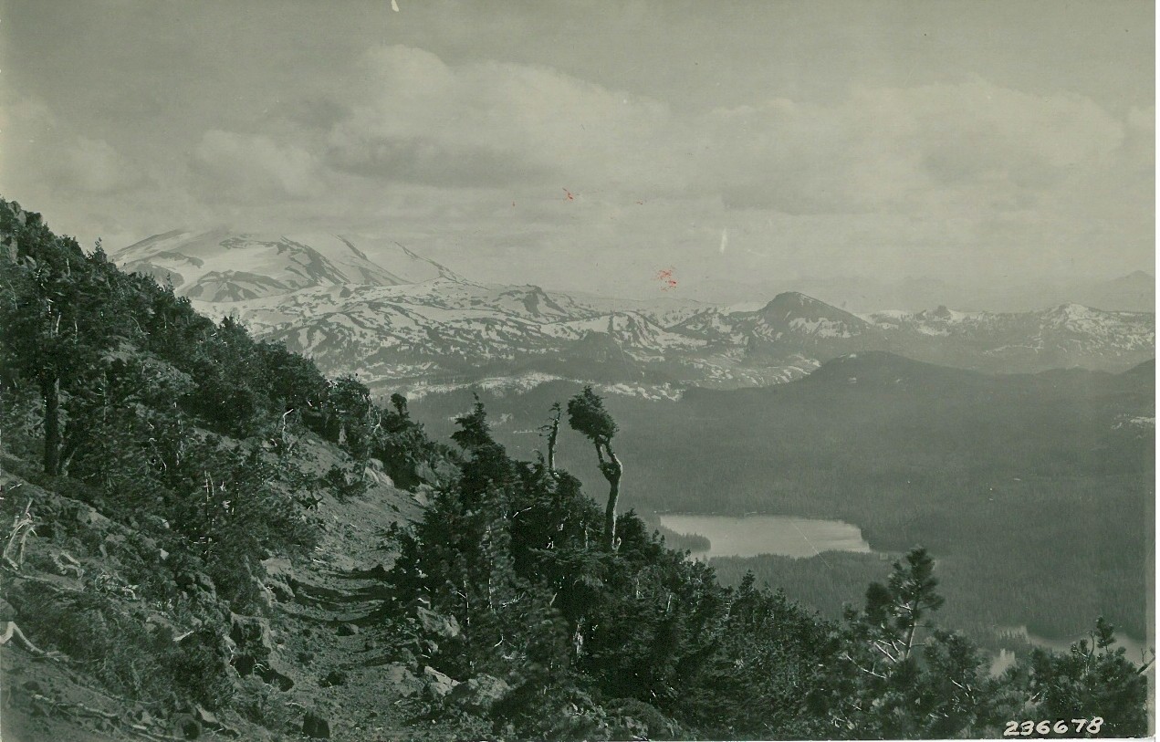
Park Ridge – Undated
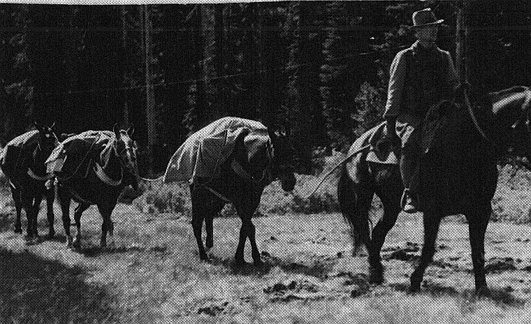
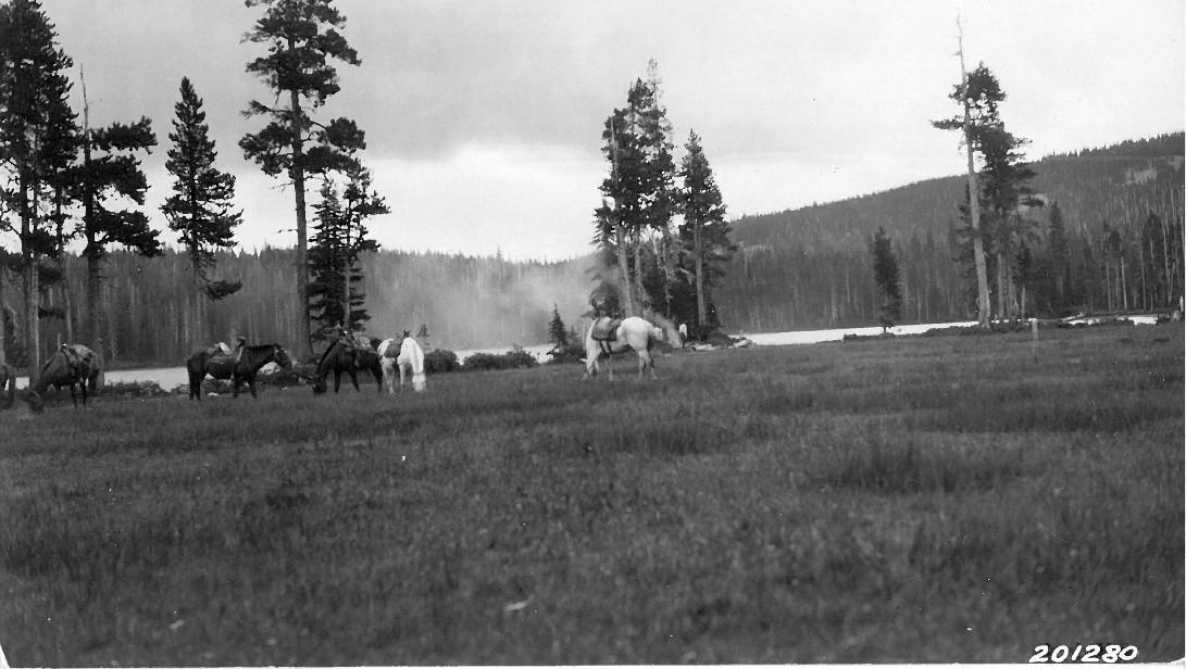
Pack Train Near Olallie – 1930s
Trails:
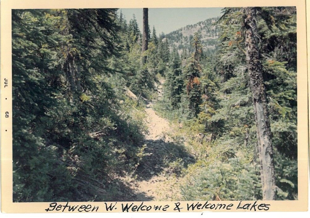
Welcome or West Lake Way Trail – 1968
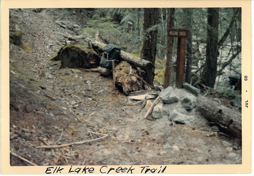
Elk Lake Creek Trail – 1968
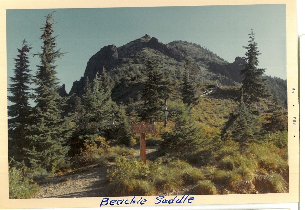
Beachie Saddle Trail – 1968
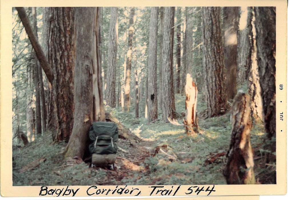
Bagby Trail – 1968
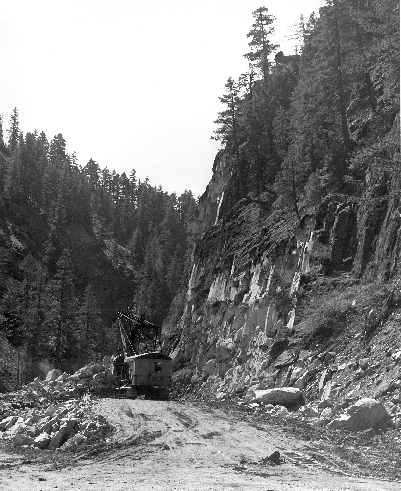
Rebuilding the Collowash Canyon – 1965:
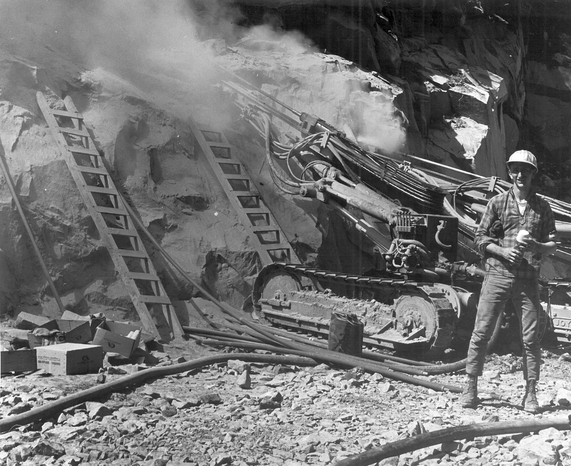
Drilling holes for dynamite
Tons and tons of rock
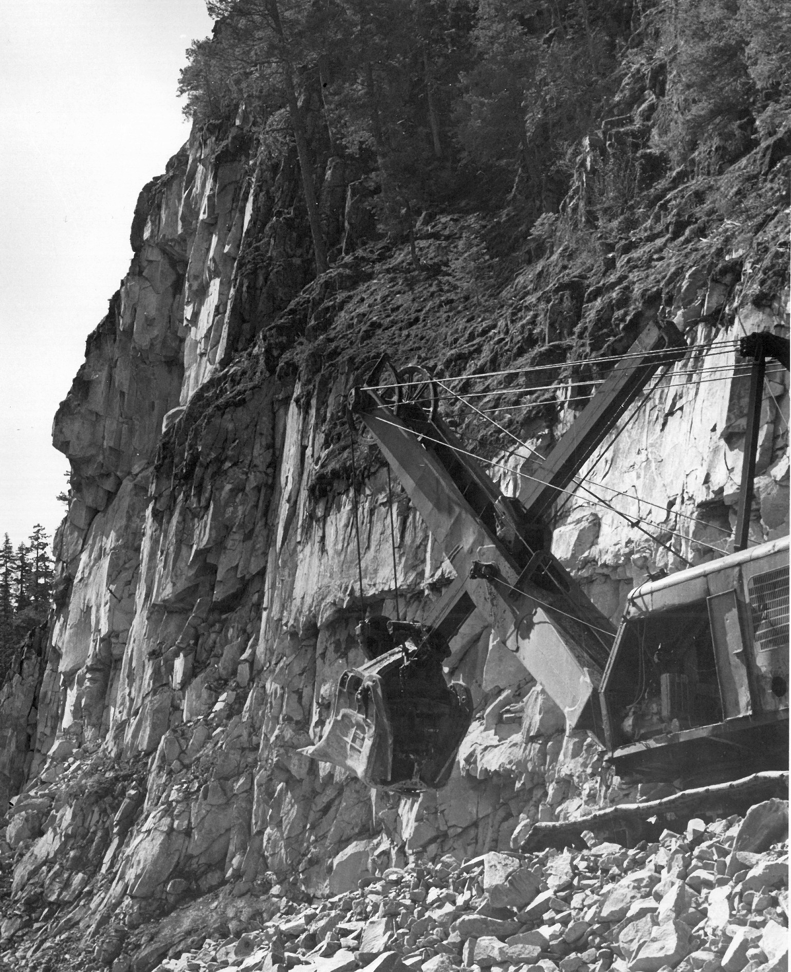
Old timey excavator
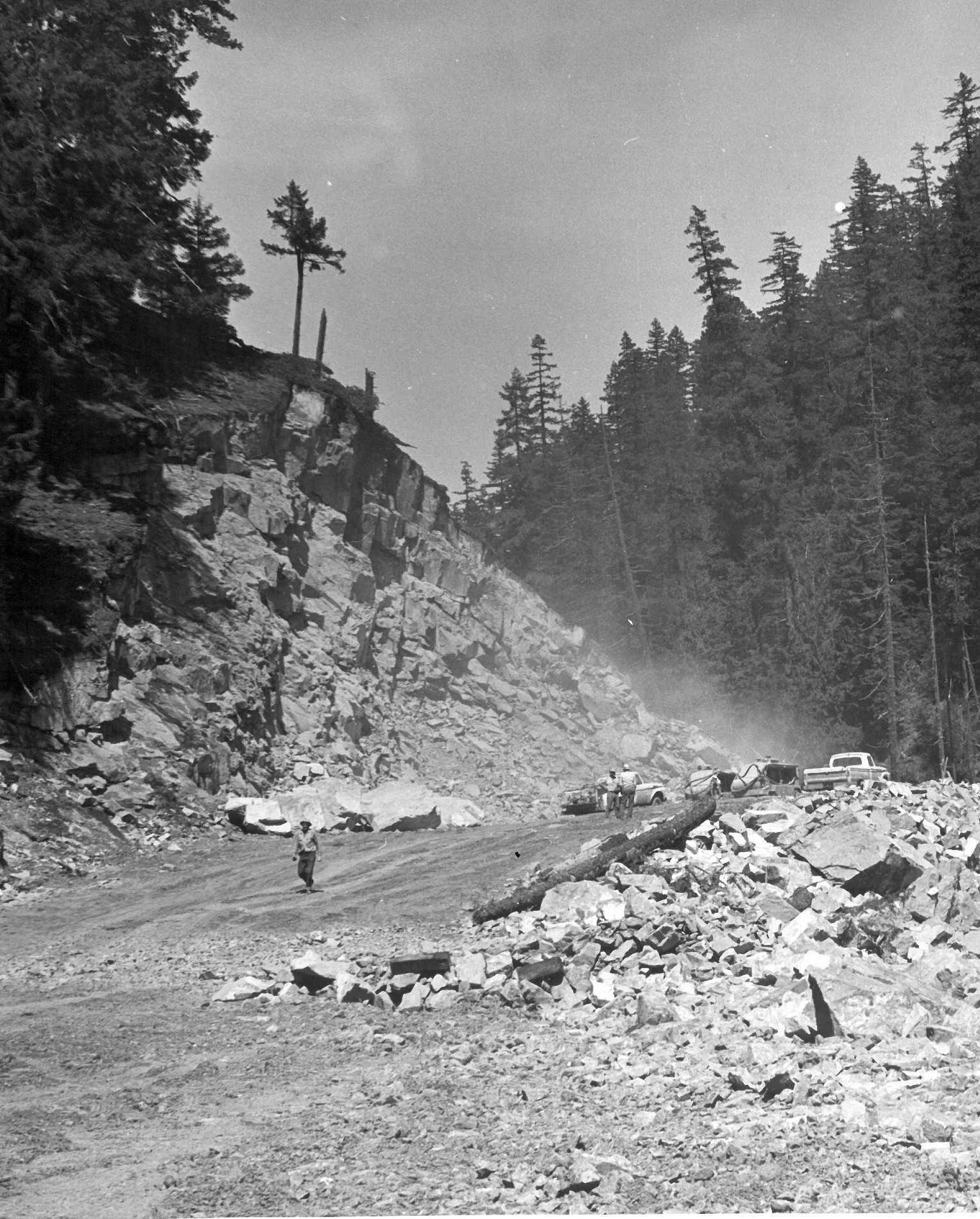
The road appears
Signs:
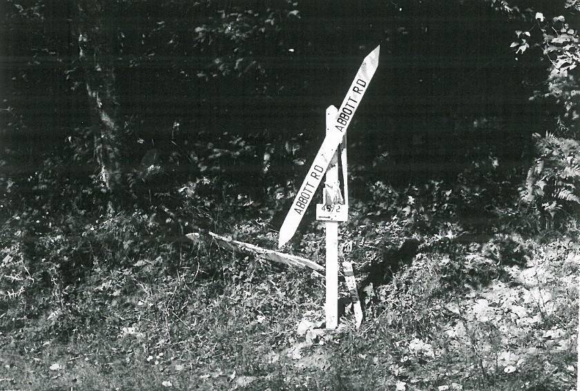
Abbott Road Sign – Undated
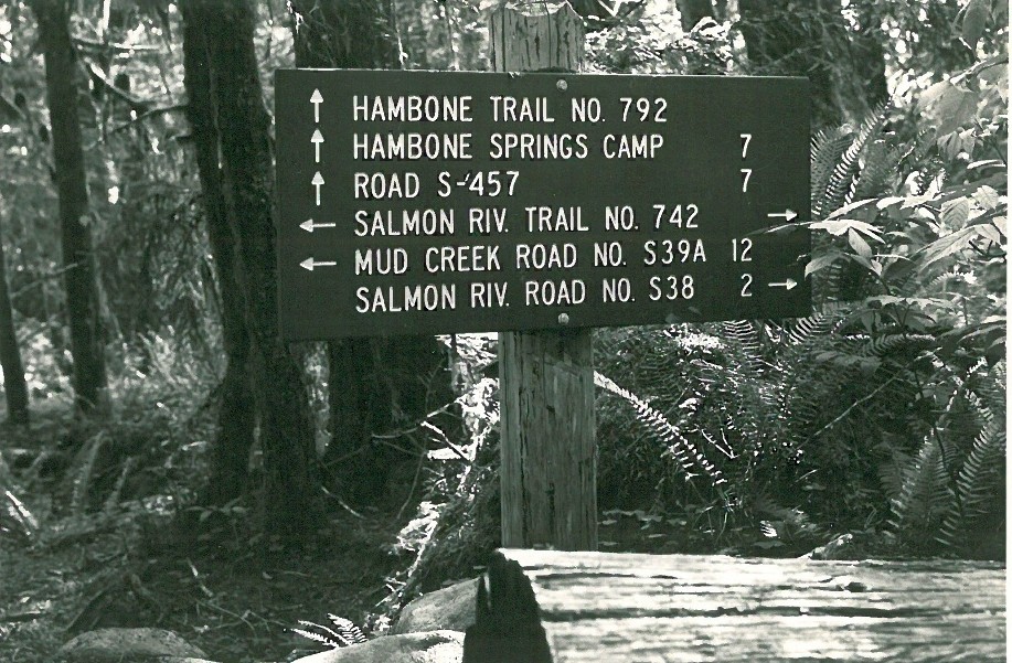
Hambone Trail Sign – Undated
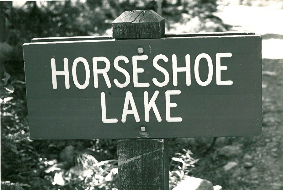
Horseshoe Lake Sign – Undated
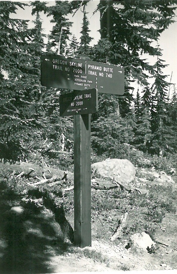
Pyramid Butte Sign – Undated
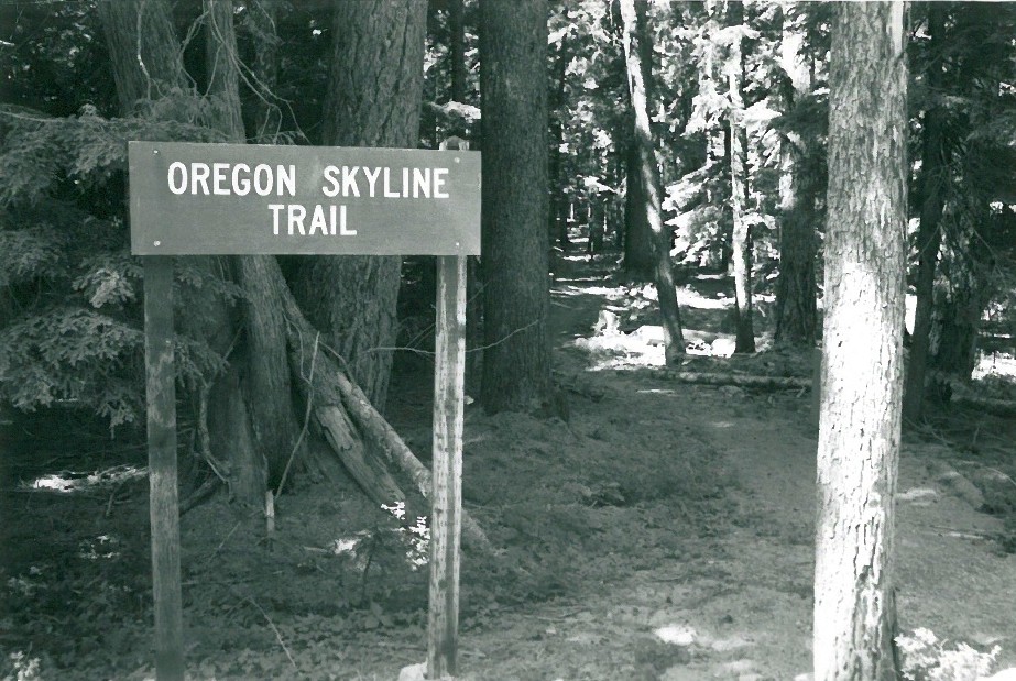
Oregon Skyline Trail Sign -Undated
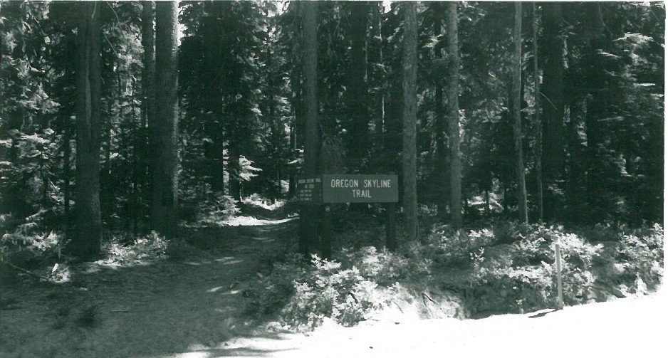
Oregon Skyline Trail Sign- 1971
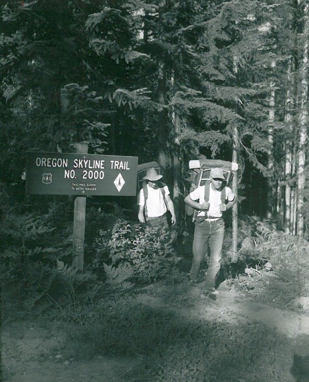
Oregon Skyline Trail Sign -Undated
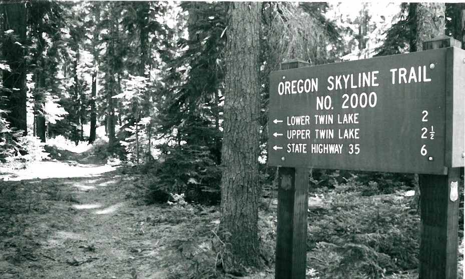
Oregon Skyline Trail Sign – 1971
Miscellaneous:

Sawmill Above Promontory Park – Undated
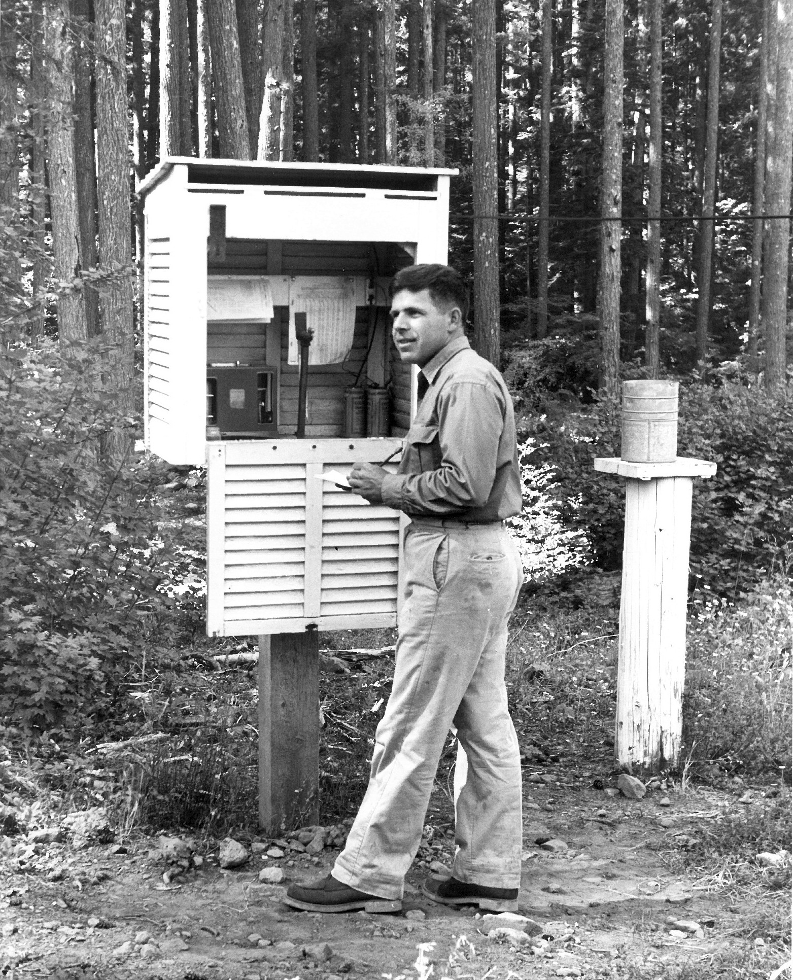
Rondy at weather station – 1957 – The First Trailadvocate!
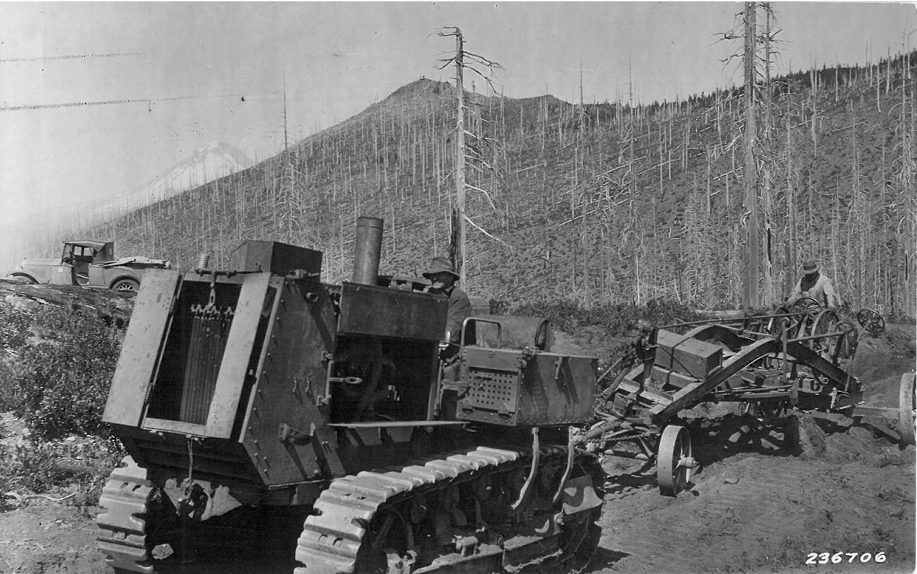
Road work near High Rock – 1929
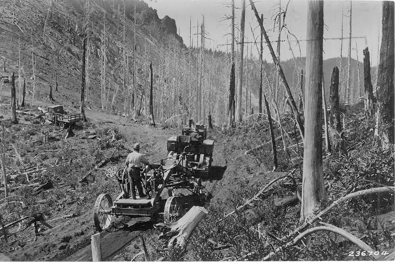
Road work near High Rock – 1929
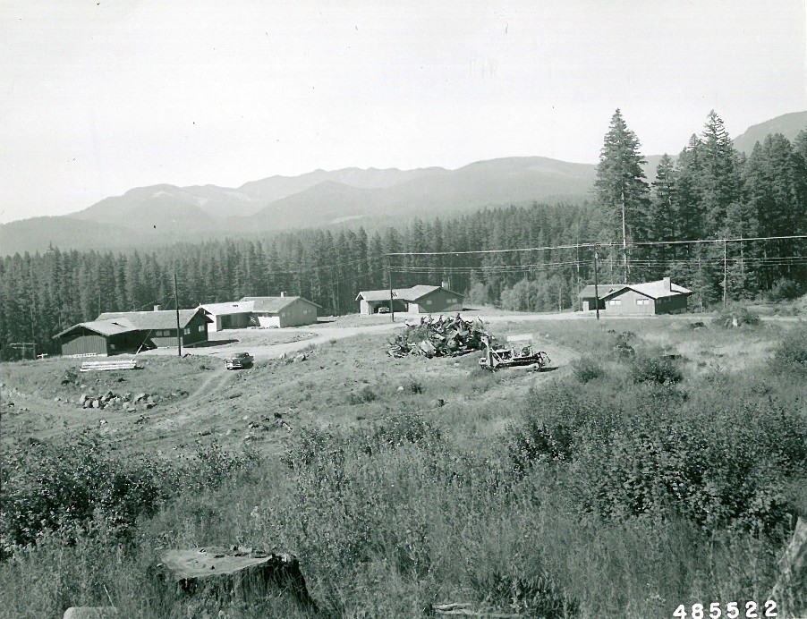
Ripplebrook? Housing – undated
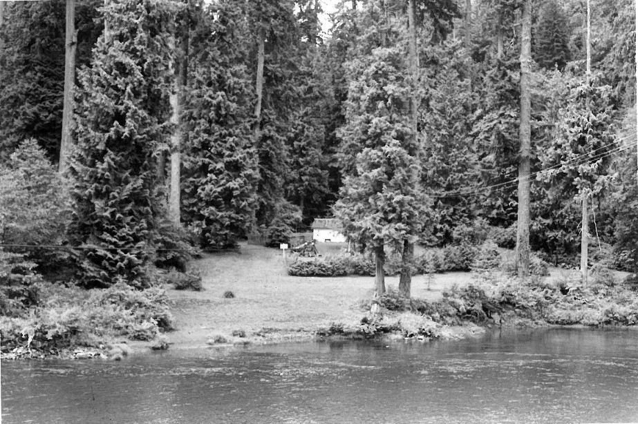
Oregon City Water Works – Undated
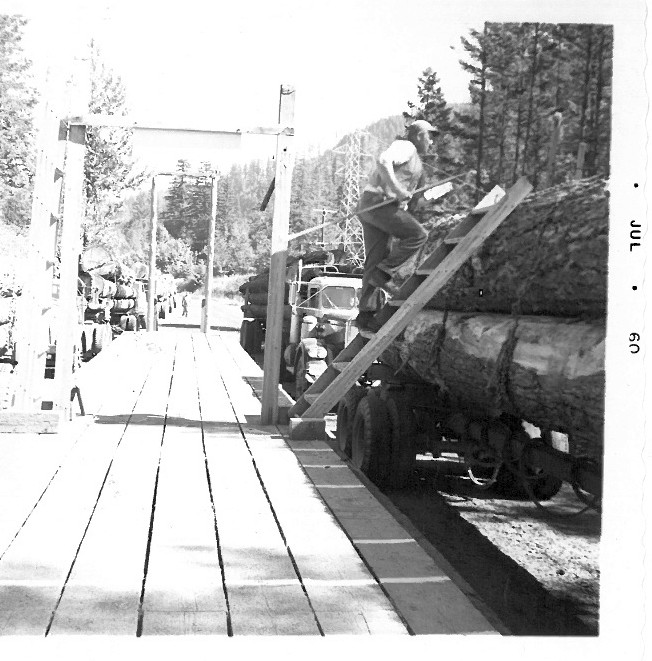
North Fork Scaling Station – 1960
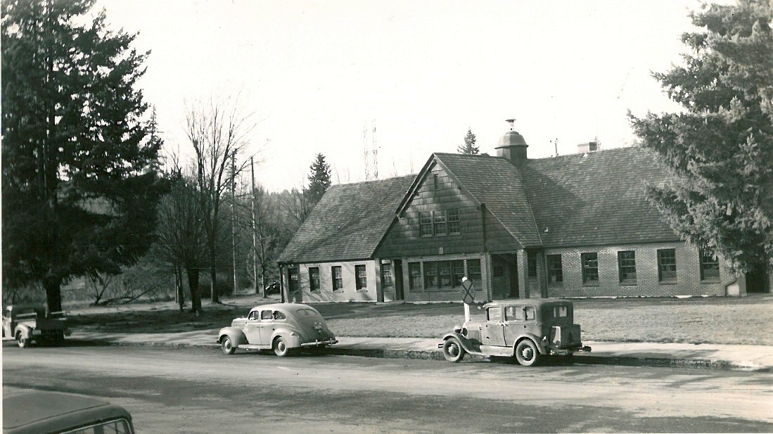
Estacada Ranger Station – Undated – This is now the Estacada City Hall

Bagby Hot Springs – Undated
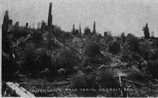
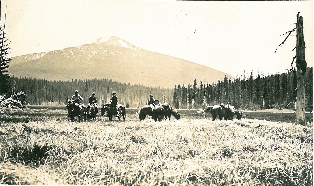
Pack train near Detroit – Undated
Clackamas River:
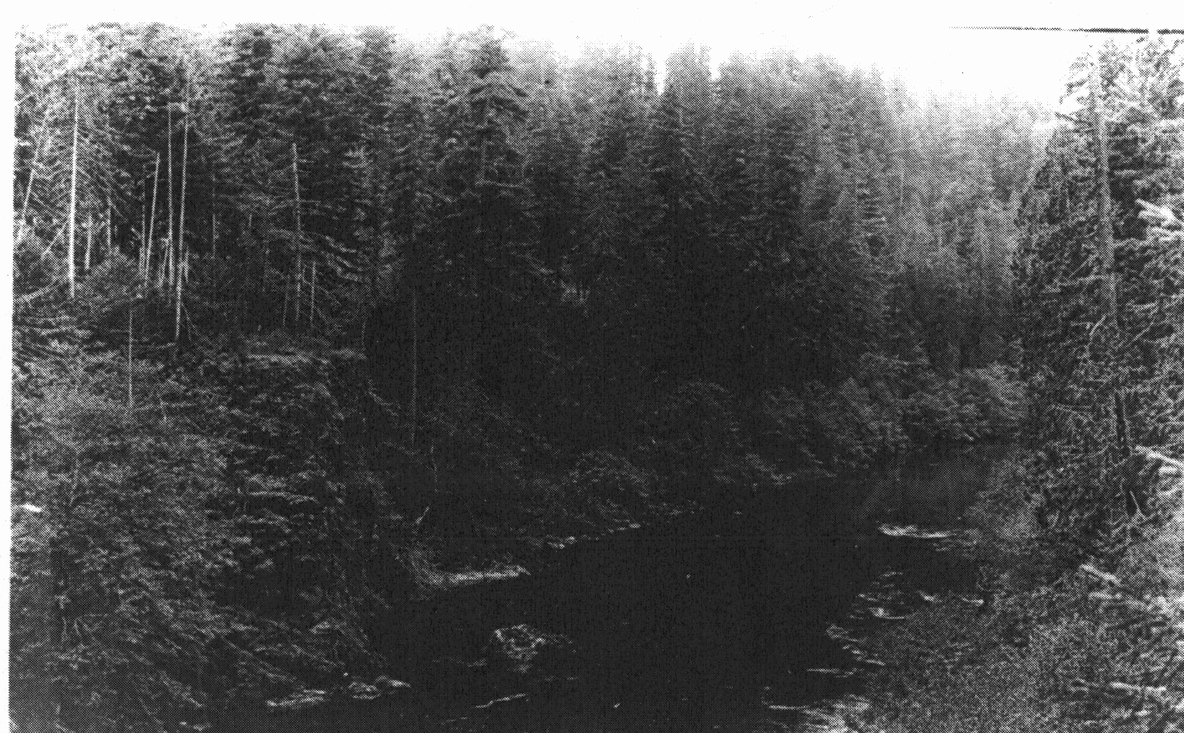
Clackamas River – undated
Clackamas Canyon – 1910
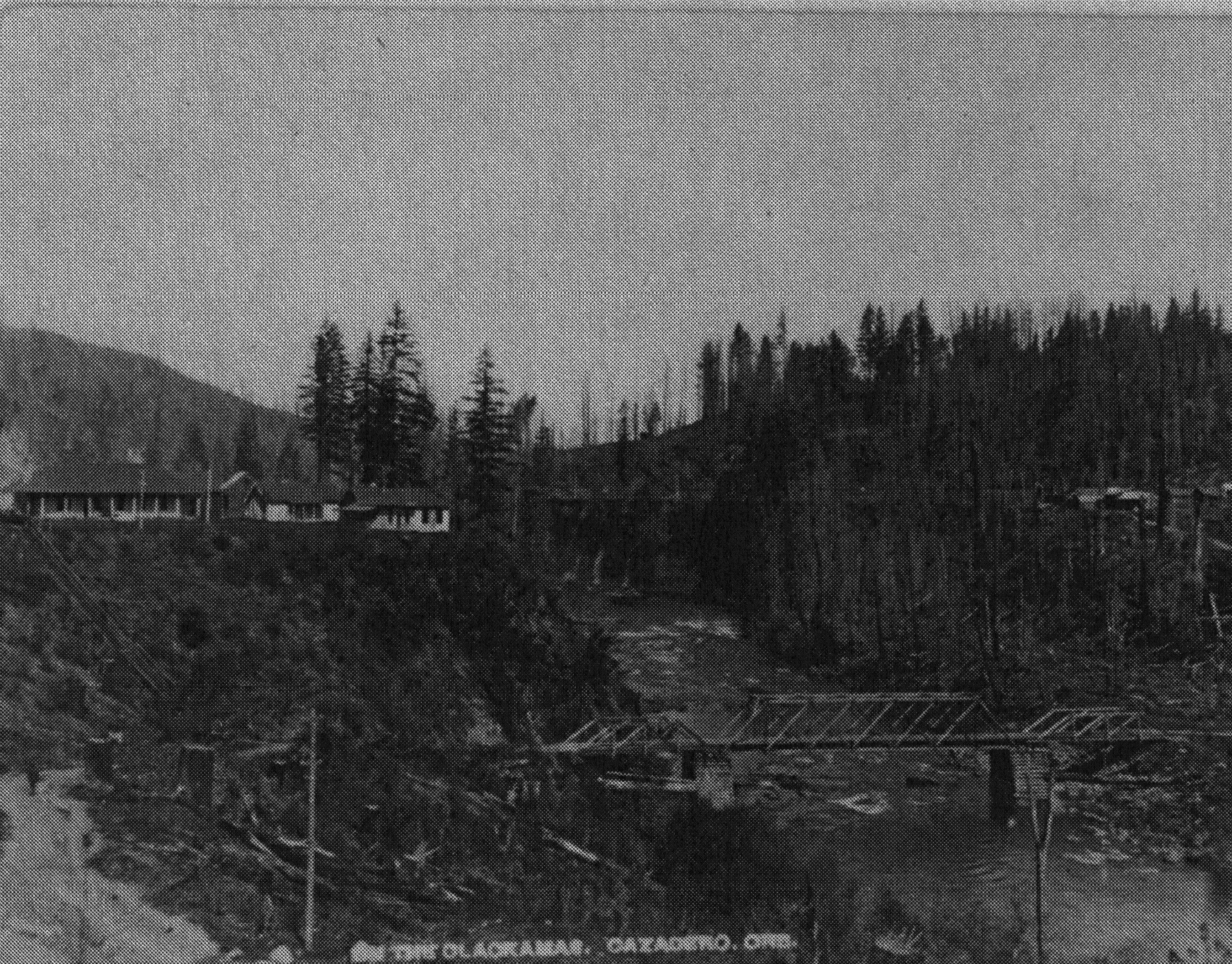
Clackamas near Cadzadero – 1908
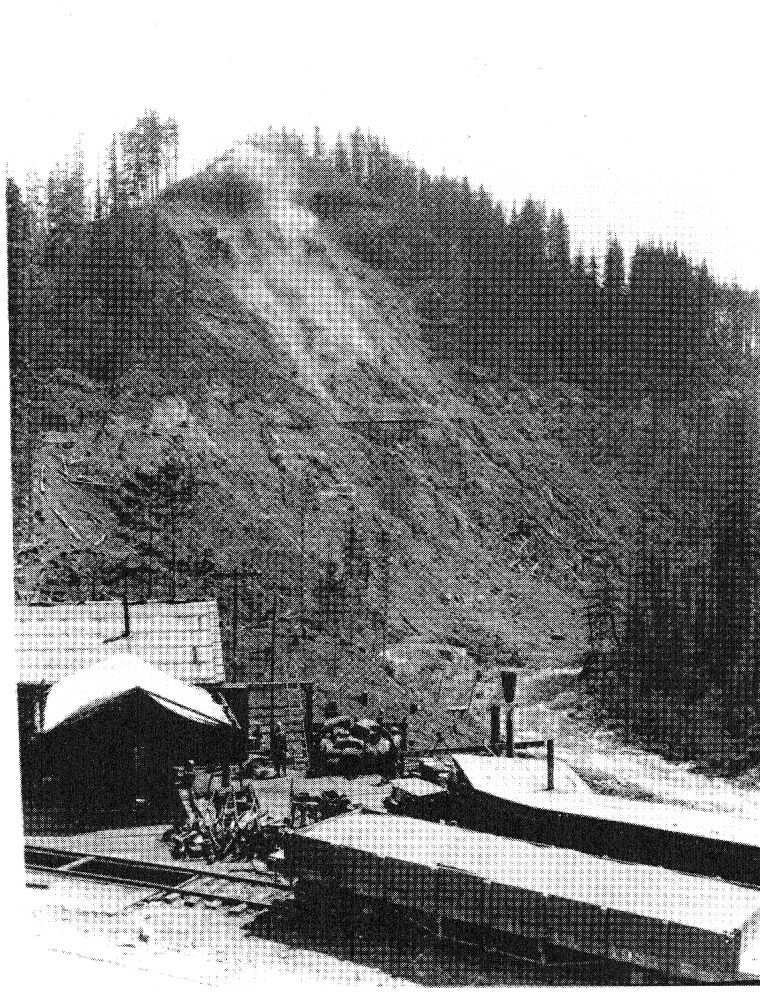
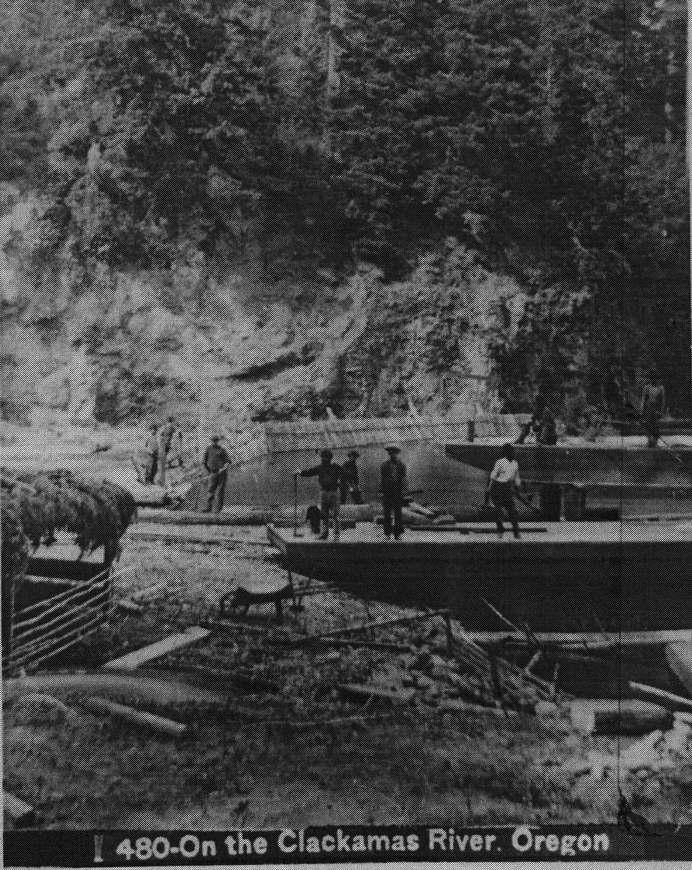
Oak Grove Pennstock Blasting – 1923
South Fork Cable Crossing in Flood Stage – undated
Comments
Historical Photos — No Comments
HTML tags allowed in your comment: <a href="" title=""> <abbr title=""> <acronym title=""> <b> <blockquote cite=""> <cite> <code> <del datetime=""> <em> <i> <q cite=""> <s> <strike> <strong>