Went looking for the 509 yesterday and came up empty - I saw lots of promising trail but no real supporting evidence like blaze or maintenance. The plan was to descend on the 506, then head upriver looking for trail. If things got too bad I'd bail out on the 508 (or Cougar Creek Tr) that Don and Rob reported on a while back (Rob sent me his GPS track so I knew where to look). If I made it OK to the 508 I planned to continue on upriver to look for trail, take pictures of big trees and then exit at Hambone Springs.
BTW, the washout on Abbott Road looks worse than it did on my last visit, pretty much motorcycle traffic maybe an ATV.
I parked off Abbot Road near the closed Twin Springs Campground and took off down the well flagged 506. Trail is in fair shape for an abandoned trail. There are 3 creek crossings where I lost the trail but further down someone has flagged the trail and that part was easy to travel.
A section of the 506:

Looks like this trail gets some traffic, it is an awesome bit of trail:
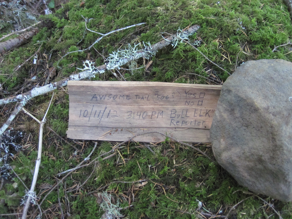
I turned up river to look for trail as shown on several maps. I expected the going to be tough in the section between the 506 and 508 but this part turned out to be the easiest of the journey. I did see places on the way to the 508 that looked like trail bench but no other evidence - so what I saw I have to call good game trail. I made good time to the 508 and decided to go on upriver from there.
The orange ribbon marks my intersection with the 508, thx Don and Rob for the marker:
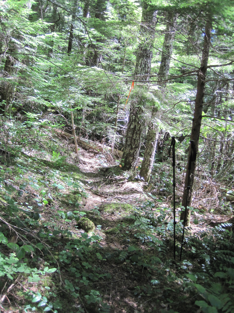
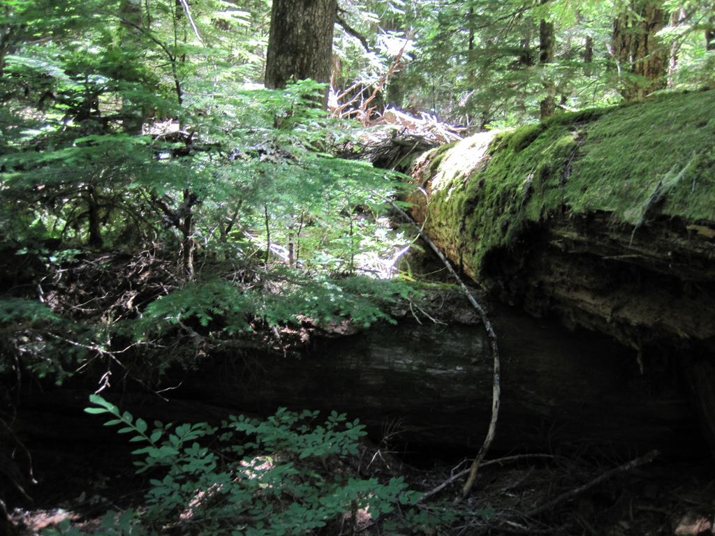
From beyond the 508 the conditions deteriated rapidly, I was now into old growth but there were more trees on the ground than standing and with the brush things got nasty. I no longer looked for trail, just a way forward.
About every 20 feet I'd get this - really wore me down.
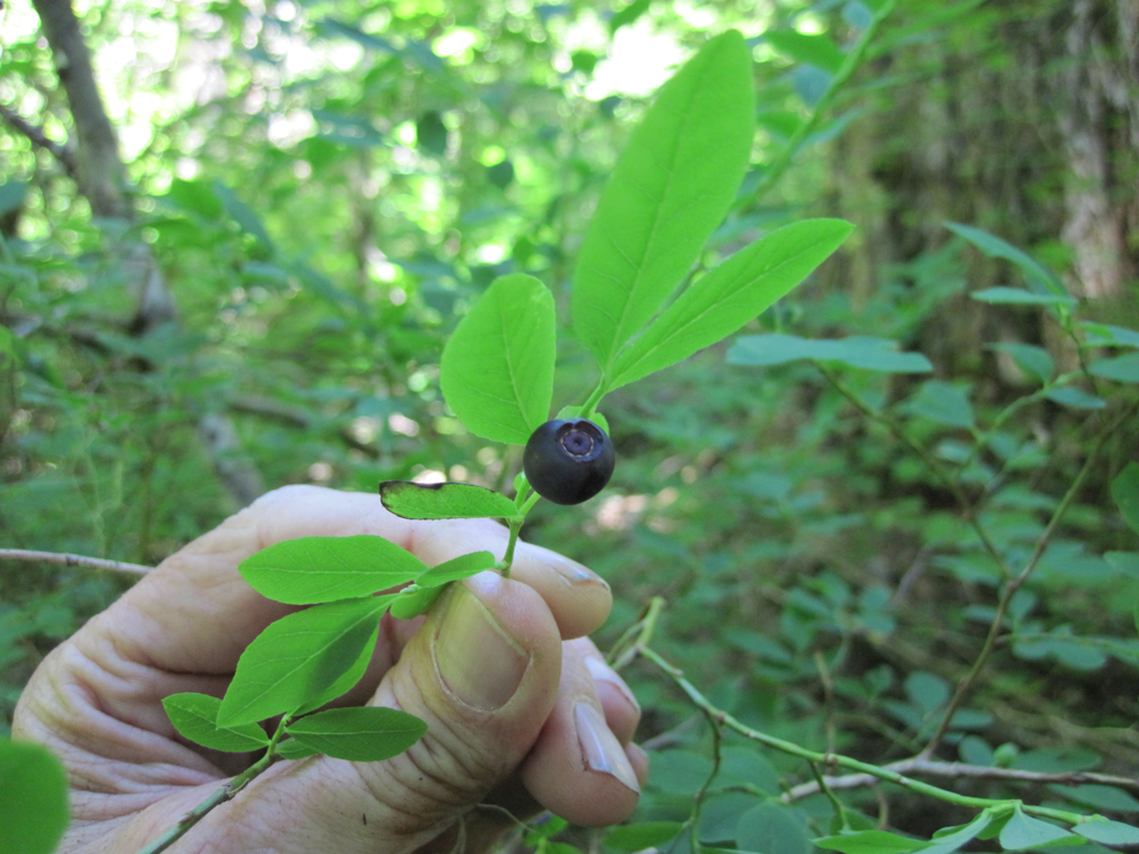
I was rewarded for my efforts with some early huckleberries:
And some large old-growth trees
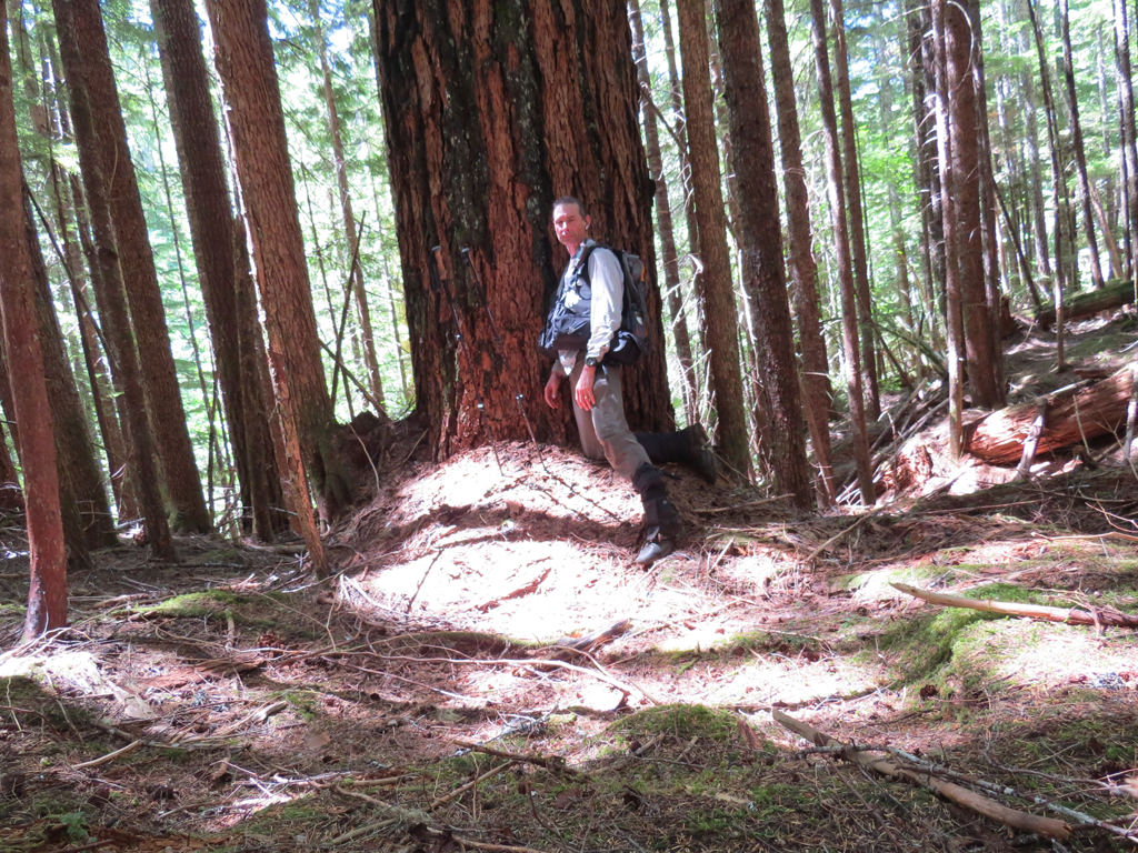
I went another mile or so upriver and gave up hoping that conditions would improve and turned up the hill to get on Abbott Rd for the long walk back to my rig. It is on the way up I made what might be the most interesting discovery of the day. I believe I found a section of the old Abbott trail and my supporting evidence is a long length of #9 phone line I found nearby. I was making my way up the hill through moderate brush when I came across a broad trail bench - maybe 75-100' long - could be more. At the time I said to myself, "Naw, just a natural geographic feature put there to mess with my head." I didn't even bother with a picture and continued up the hill and a few feet later I ran into phone line. At the time I did not associate the 2 thinking the phone line went with Abbott Rd which was still several hundred feet away. I did find it curious that the FS would string wire so far south of the road.
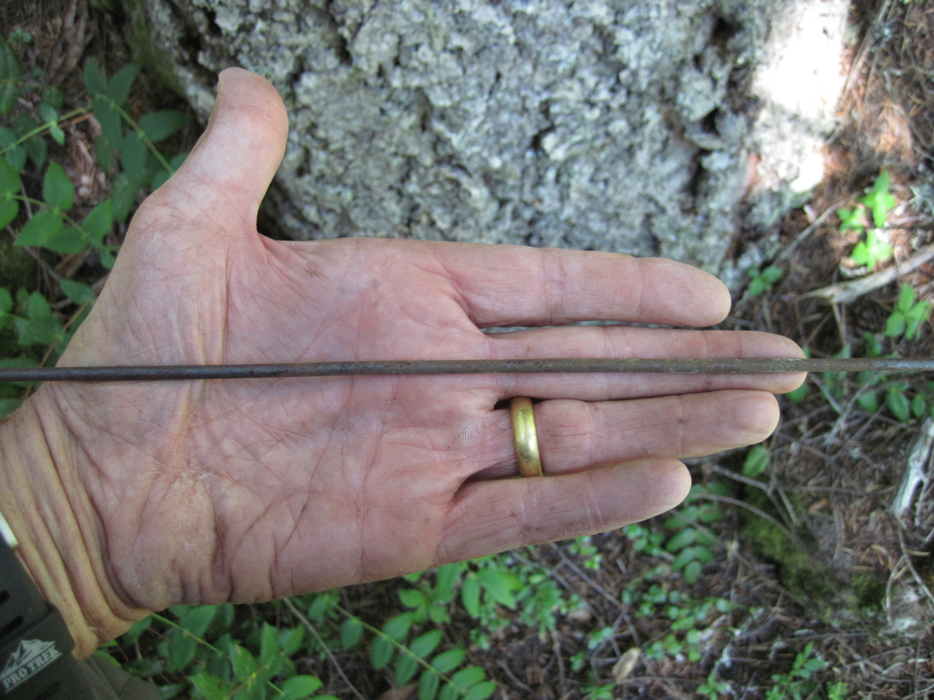
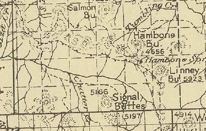
Looking at the 1927 map I see now I have good evidence that the bench I saw was trail as the map shows the trail marked with phone line. I'm going to take another trip out there and follow that phone line and trail.
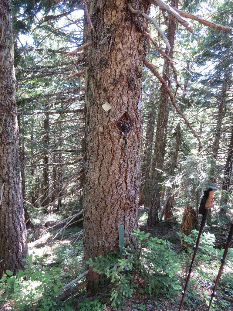
Is this the TH for the 508/Cougar Creek Trail? Seems to be in the right location.
Here is the map of my GPS track. Right below the 'M' in 'MT' is a jog in my track - that is where the phone line and possible trail bench is located.
Very cool! Thanks for the trip report, Paul.
That trail below the road at that point you will find above the road to the west and I believe it was built 1910-11. Somewhere refered to as Estacada/Calackamas Lake trail. I believe it is the route Dr Miller used. Could be wrong of course.
I would prefer we refer to any Abbot trail as the route north but parallel and closer to the route he used in 1858.
That looks like the Cougar Creek trail at the road.
Your experiences in the upper end sound like the others I have heard.
I am glad to hear the Plaza Creek Trail getting some use. When I first started down it it was real near to being invisible beyond a short distance from camp.
D 2
Thanks for posting this trip report, Paul. Very interesting stuff. I'll have to go check out the old phone line down there one of these days. I had on my list to head down to the river up near the end of 4610, to explore some of those big trees down there. After seeing that blowdown, I may change my mind! Crawling over big old growth blowdown is really hard.
Don and I flagged and cleared Plaza a good way down a couple of years ago, it was steep and vague. Burnt out country in the 30s, not much to cut or blaze.
Last summer we found and cleared a good stretch of pre-Abbot Road trail (anyone know the #?) in the vicinity. Big trees growing up through the tread, but it was still pretty obvious under the brush.
Paul, you see a lot more when the trips are less than 45 mile loops! Boundless energy...
Was there much trash at 2 Springs?
