
Don 2, I think the place along the Skyline Trail that your thinking about is at a trail junction and yes the rockpile is still in a rectangle and not far south of Lemiti Butte, but it isn't the place of the photo.
Don
Don 2, seeing how you've mentioned that the trail was the Skyline Trail or in the Skyline country your the lucky winner of a new posting of your choosing. The photo was taken of an abandoned section near a rock cairn about a mile north of the last road crossing between the Pinheads. I hiked out a little further, but it was pretty much the same type of terrain and forest, that rock cairn being the only notable landmark in the area to be seen. Looking forward to this summer, when I can get back out there and do some more exploring, of course once the mosquitoes quiet down a little.
Don
Farther north than I have been. Looking forward to hearing about it following through to points north.
Does look like easy country to get lost in, or predate-ed.
Yeah, I'm looking forward to see where the Skyline Trail comes out near the Warm Springs Meadow or cabin myself. Definitely will have to have a second vehicle on that run or will be doing a lot of backtracking. You can't see any nearby landmarks because of the closed canopy and the terrain is monotonous, but the trail is still visible.
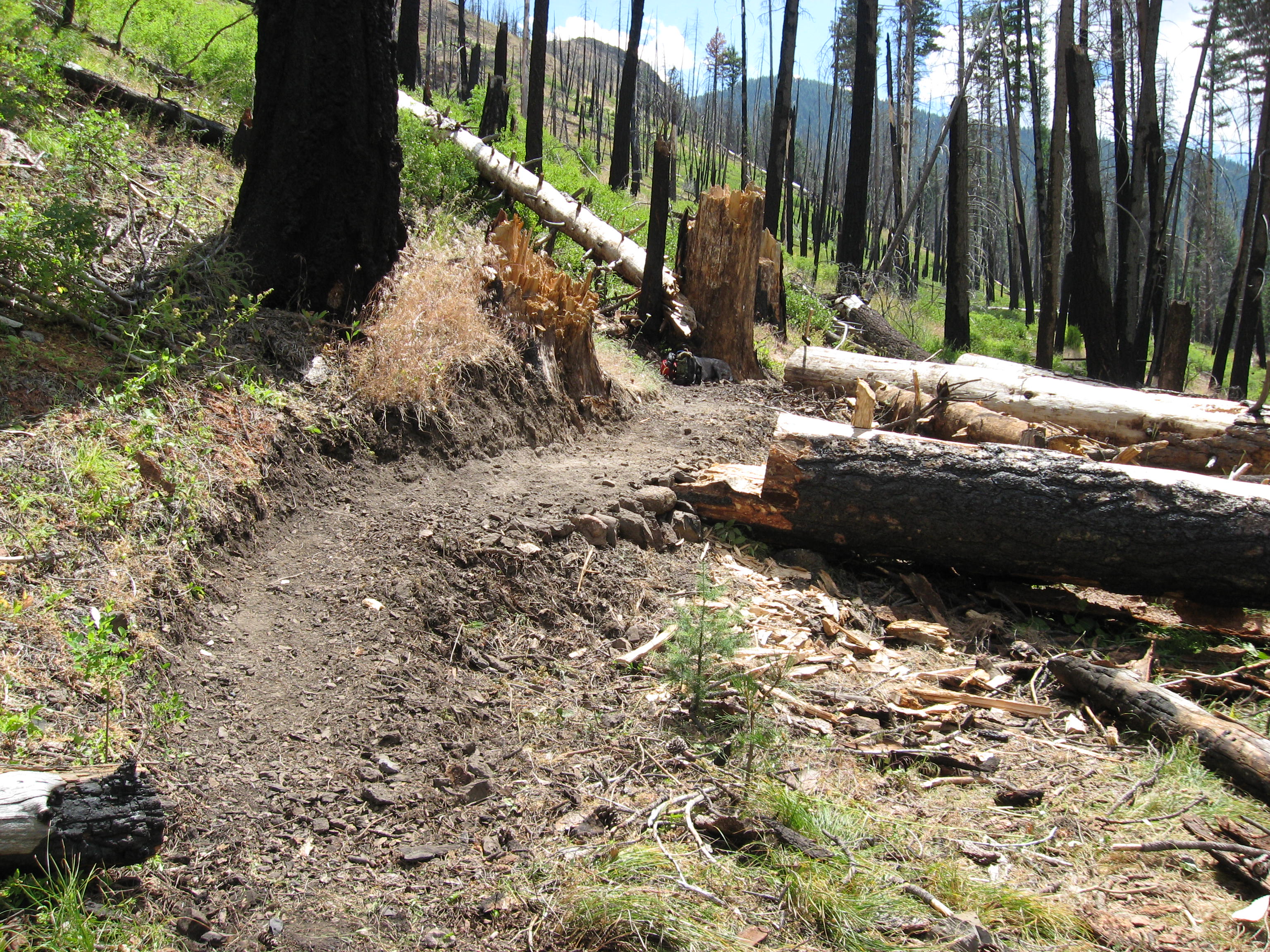
That newest photo posted looks to be in the far east of the district. I will have to excuse myself from that one, for I was with you when we cutout those logs in the burnt forest.
Don
True, a little ways out of District.
Great big clue tho in the file name. Somone oughta get it.