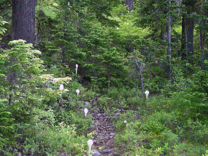
That's it, alright. But from a few years ago (maybe 2004 or 2005?) I didn't realize that you'd maintained it -- what does it connect to? I didn't realize it had been a formal part of the system.
Tom
It goes down to the lakes and meadows. The bottom was private property. It was, I think, a muskrat ranch. I also think the saddle at the junction is an old camp.
Put up another picture for us.
Donovan
I noticed the private block on an old map...A muskrat ranch... man people will do anything for a buck! And way out there too.
A muskrat ranch..? Still wrapping my head around that! I do remember cattle grazing clear up into the 1980s, and then I think the Nature Conservancy (or similar organization) bought up the inholding. New maps no longer show the inholding, so I suppose that means the lakes have since been turned over to the USFS?
Okay, here's another -- I doubt a hint is needed, but this is a trailhead scene:

Tom that looks like the start of the Rimrock Trail coming out of Cottonwood Meadows.
