Yup, the view is good to the south to French Creek Ridge and Opal Creek. I was last there before the wilderness was thought of and all my photos are on ektachrome. Camped at Silver King Lake and did Whetstone Mountain as a day hike.
What trail is this on? This trail runs north and south and is partially on the official Forest Service list with newish signage. If this isn't enough of a clue I'll post some history which someone out there should know.
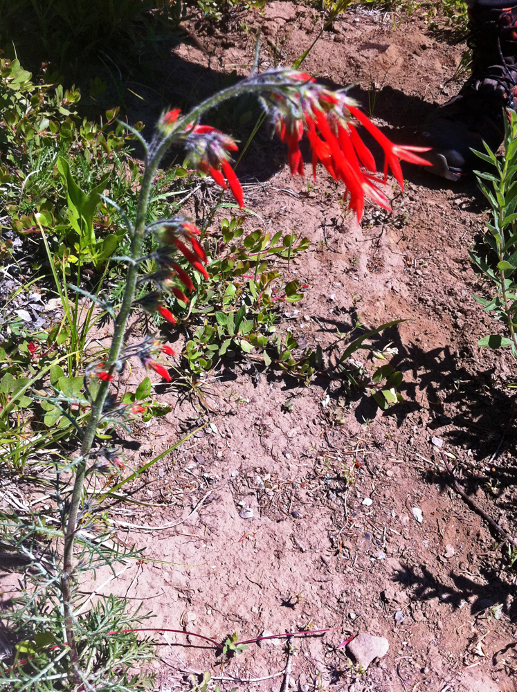
This Scarlet Gilia or Skyrocket is not often seen on our district being more common to the east. Get out in August if you wish to see it, after all the lupine are done.

The only North/South trail I can think of that isn't fully "official" is Baty Butte.
Or maybe it's Rho Ridge. It used to extend farther north and south, didn't it?
Rhododendron Ridge it is! It once went north to the Clackamas, much of which can still be followed, and it went south before forking left and right to all sorts of places. It is faint now I understand. The photo was taken south of Mount Lowe, before Graham Pass.
Sorry for the slow response - I used to get a prompt notification when anyone replied to this forum, but no longer. I tried unsubscribing and resubscribing, no joy.
Bryan:
Check your spam folder - I found several notifications sent to me were in my spam folder for some reason. There is a button at the bottom of the forum to subscribe/unsubscribe to the thread.
