I had once a copy of a letter from 1911 I believe, a report, from the District Ranger describing that year's Hundred Mile Ride. I can't find my copy anywhere.
They ride that trail I think. They circle the District. It is a great read. Maybe Byron can find a copy through his contacts.
It may also be in Southern Pacific papers as the primary purpose of the tour was studying the hydro resources. They scoped what is now Timothy Lake, they ditched the Salmon headlands as unsuitable, and they initiated a determination of what was wrong with the Collawash being so "flashy" as they put it and unsuitable as a hydro resource. I believe the speculation was that it was all the regular burning that goes on there prevented the retention of water. The Company offered to build the bridge for the trail across the Clackamas I believe. I think this was the suspension bridge there are some old pictures of.
Which leads me to wonder when our fans are going to scope out our Southern Divide. I have been on part of it and it starts out pretty nicely near Nasty Rock Trail. Finding it on the Whetstone end is harder due to chest high rhododendrons.
I guess I better look for a picture.
D 2

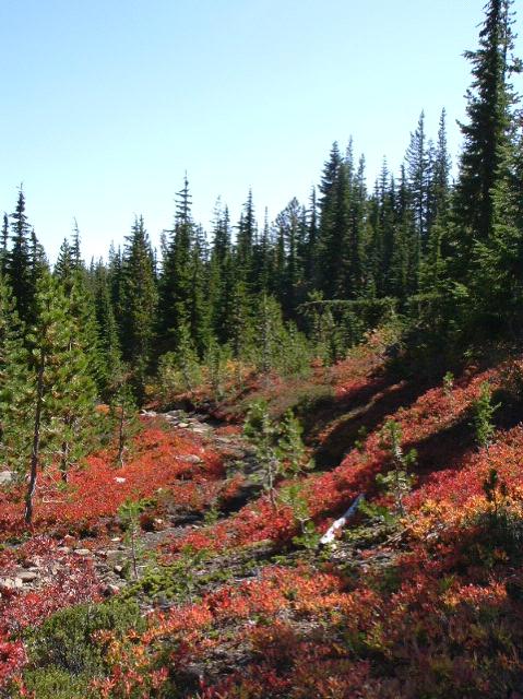
What trail am I on?
D 2
That looks like eastside to me - it looks a lot like the PCT/Skyline trail down near Pyramid Butte.
Red Lake Trail?
It was a real nice Autumn that year.
You are both in the vicinity. But you both need to turn around and travel towards each other.
D 2
