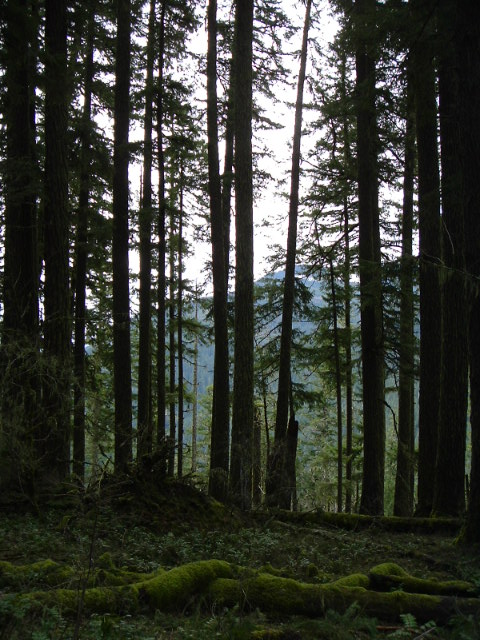
So how long ago was that picture taken? I've only been to Baty Butte (itself) once. I've taken the Baty Butte trail south a couple of times. I'll have to scour some of the older maps to see where you are referring to.
Very cool!
Here's a snippet from the '38 map. Maybe this is it:

Here's another one for you all. What trail am I on?
D.
That looks like "The Sounds of Two Rivers Trail" up on that flat bench with Burnt Granite in the background through the trees.
Don
That picture was taken August 31, 2007.
The snippet from the '38 map does show the trail well. It also shows what looks like a cabin and perhaps outhouse near the trail junction, which I have never noticed evidence for, but also never knew to look for it. It also shows a lookout on top of Baty Butte, and the only evidence I've seen for that is the phone wire coming from the north.
I've tried following the trail down the Lost Creek Headwall, but once you reach Lost Creek Meadows it disappears in the lush wetlands growth. Perhaps the trail north from the bottom of the canyon could be located.
