That isn't a post in the photo, it is a small snag. It is located a couple of hundred feet below the junction with the Oak Grove Butte Trail where the sidehill starts to get really steep. There was a couple of inches of snow at the bottom, but over a foot deep up by the road where you top out on Sunday.
That is probably why I didn't recognize it. I don't think I've been up the trail that far....
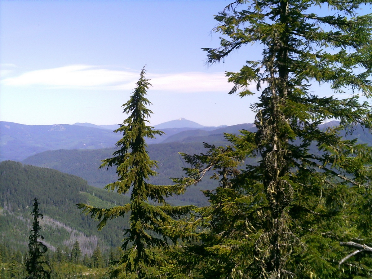
Okay, here's a new picture from sunnier times. It might be a familiar view to some of you. What trail am I on?

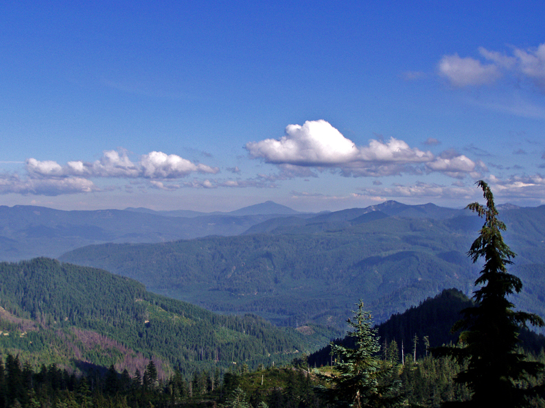
Looks suspiciously like the June Lake Trail south of Baty Butte along the divide between the Clackamas and the Molalla. Here is a close picture from about the same spot.

Bryon, you are correct! The view looks almost exactly the same. We were a little more than a mile south of Baty Butte when I took this picture earlier this summer.
Do you have a picture for us?
