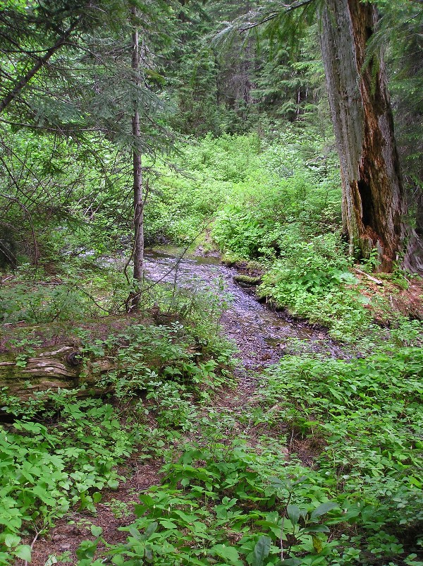
Is that the Dickey Creek trail?
Yes sir. Nicely done. You're up.
That is the section of trail right before you get to Big Slide Lake, isn't it? I was thinking that might have been the place, but I didn't remember it being so high up on the slide area. Although when you posted the clue about zooming in on the distant peak, I saved the photo and saw the name and I knew what it was.....Great photo! Was it really taken in March?
This is a current District trail, but not in a wilderness.

Okay, maybe a hint or two would be helpful.
How about this? This trail goes uphill. Unless, of course, you start from the top and go down. And if you do start at the top, you'll come across this stream crossing in less than half a mile. Go another half a mile or so further downhill and you'll cross a good gravel road. Then there are no more road crossings until you get to the lower trailhead.
