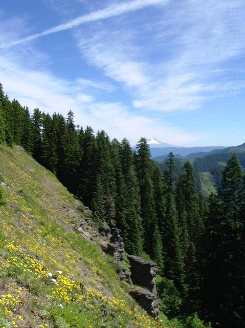
Here you are. What trail am I on?
Back before the Forest Service abandoned it, this was Trail 545. Its on the divide between the Clackamas and Molalla, pix showing the Clackamas side. Easily accessed from the Molalla side if you know where to look for the unmarked trailhead. This is one of the best spots to study geology. Baty Butte (aka 'Old Whitespot') is best viewed from a little north on this trail. This trail brings you to a nice near vertical rock scramble up Baty Butte's north side to the white spot and the knife-edged peak, where grows one of the southernmost populations of Douglasia.
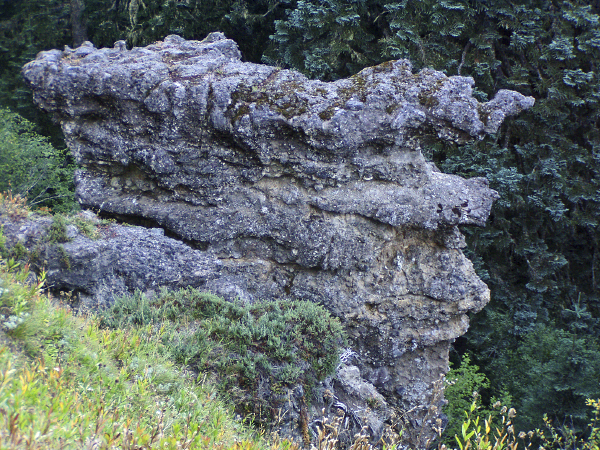
Here is a picture of 'Flow Face', which is in the mid-distance in your shot.

Score! Now it's your turn.
What is Douglasia?
The white I always figured was something here before all the lava flows. Seems like Whetstone Mt has some old sediment stuff on it's south side.
Donovan
Douglasia is a small plant reminiscent of our alpine phlox but instead in the primrose family, bright pink and very showy. Grows most often in crevices in cliffs and sometimes on rocky ground.
The white stuff is actually pumice. On close inspection it is a U-shaped valley fill resulting from two events, the bottom pure white pumice and the larger top section with black basalt chunks mixed in. So however many millions of years ago Baty Butte was part of the middle slopes of a large at least somewhat explosive volcano.
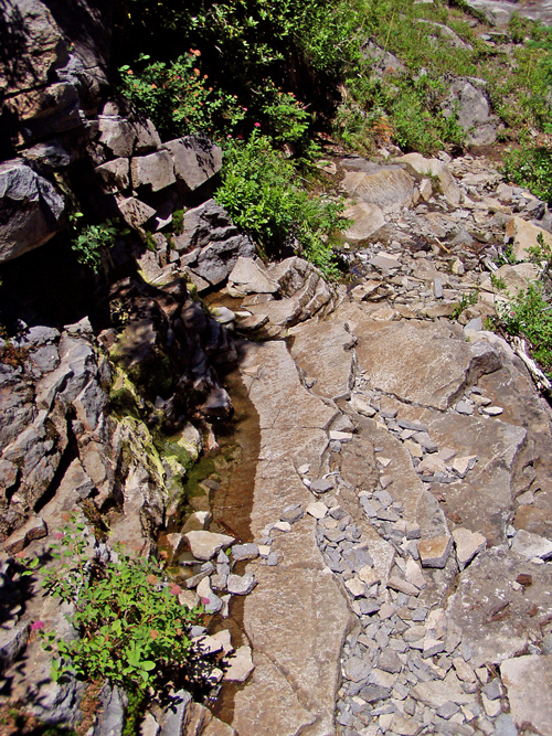
Here you are again. What trail am I on? The picture is of the trail itself.

You are on the Skyline Trail (PCT) at the outlet of Cigar Lake and the junction with the Top Lake Trail. I think.
