I found it on Green Trails and also on Accuterra on my iPhone.
Again, I've never made it to Pyramid Butte though its been on my list but looks like it'll be next year with the fire closures.
Your two junctions clue narrowed it down and I used Google Earth to find terrain that matched your picture. Bingo!
Very busy today so I'll post a new picture tomorrow.
Bryon
I'm assuming someone has hiked along this district trail and will get this one right away.
If not, there will be clues.
Bryon

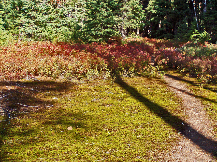
That looks like the Cottonwood Meadows Trail 705?
Don
Horseshoe Saddle.
D.
It may look like Cottonwood Meadows Trail, but its some miles away.
I had to look up the Horseshoe Saddle Trail, as I've never been there. Looks like one I'll have to try once the fires are gone. The picture on the trail guide has very similar huckleberry fall color, but is even more miles from the trail in question.
The trail is between these two guesses.
The trail at this point is approaching a lake. The lake is nearly 4200 ft.
I've always assumed this was a maintained trail, as its in better shape than many that are. However, it does not show on Green Trails, the USFS maps for 1993 or 1987, though it is on the 1946 but without a number. It also does not show up on Accuterra which is unusual as it includes many abandoned trails. So I'm afraid this is another abandoned, no longer official trail lost to roading that was already present in the 1946 map.
Bryon
