
Bryon Boyce said:
Road 4670 may have covered a little of it, and logging probably eliminated more.
But for the most part judging from the 1946 Mount Hood National Forest map the roads avoided the old trail. A couple of spur road may be close to or on its route.
Trail 569, Rhododendron Creek, still exists, which the old trail connected to.
If this trail could be recovered, it would form a loop with the Rhododendron Ridge trail, connecting to the south near Graham Pass and looping north on Burnt Granite.
So is your trail the extension of Rhododendron Ridge trail northward of Mount Lowe near Granite Peaks?
Indeed, it is. Some great views in there just before the end of the trail.
Rho Ridge could use some loops - the one you suggest would be a nice one. On this old USGS topo  is mention of the Lowe Creek Trail and the Hunter Creek trail both of which intersect Rho Creek - I wonder if the Lowe Creek trail mentioned on the USGS map is part of the one you mention.
--Paul
It sounds like you guys are talking about the Tumble Creek Trail.
I have been on two ends of it. The north end is off the Burnt Granite Trail in the small timber before the switchbacks descending. There may be a cairn, I can't remember. But that goes down to Tarzan Springs (meadow and bog), crosses the spur and doubles back just before the barricade.
The other end is a well marked junction above Tumble Creek on the Rho Creek Trail. I have been up that to a Pine flat on thin soils where I couldn't follow it. It does appear that there may be some sections of the trail to find. If you do, flag and share. With the planned (done?) road closures in the area, the Tumble Creek Trail would be a nice locate. You boyz need to go find it. But maybe not right now as it's crawling with hunters.
Just below the north side summit of Mt Lowe on a switchback corner, the old Lowe Creek Trail heads down, an easy follow, to the road at the Mt Lowe repeater spur junction. It is followable below the spur and then crosses the main road near that distinctive point visible on the drive up.
D.
Yes the Lowe Creek Trail is the one I was describing. It follows Lowe
Creek before heading over to Rhododendron Creek. Hunter Creek Trail
seems to be a southerly extension of the Lowe Creek Trail. On my 1946
map it loops around south of Hawk Mountain thru Cachebox Meadows to
Round Lake. Another lost trail with potential but roads seem very close
to much of it.There also seems to be a trail to Hawk Mountain from the
west probably to the south side.
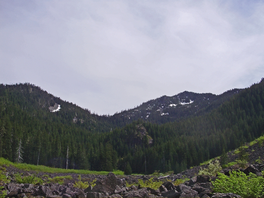
Here is the next one. This is taken from a spot off-trail with
the abandoned trail in the far end of the grassy meadow. This is in a
wilderness. There is a current trail in this valley. Name the valley!
Very interesting....We were on that trail to Tarzan springs today (the tumble creek trail)....Off the Burnt Granite trail. I think there might have been a cairn, but it is a very apparent trail junction. The trail down to Tarzan Springs is in even better shape than the Burnt Granite trail.
Donovan said:
It sounds like you guys are talking about the Tumble Creek Trail.
D.
Sounds like Tumble Creek Trail and Lowe Creek Trail are one and the same.
Your description of the north end sounds identical. So does the south end.
Different names for the same thing.
It does sound like it would be worthwhile following and tagging the route.
Perhaps this side of this thread should be moved to a new post.
Edit: Actually reviewing different newer maps shows them separate, and older maps they seem the same