Donovan said
Well I would have to think you were up Fish Creek somewhere.
I wonder if anyone has ever looked for the supposenly trail on the west side of the creek.
D.
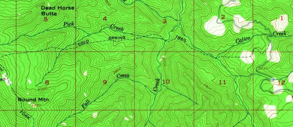
I haven't..... yet. What about the Cold Spring Trail? Are there any remnants of it left, or did logging operations pretty much wipe it out? Here's a segment of the 1956 map that shows it.

There are remnants up top on the west end.
Our Fish Creek Mtn access is on part of this trail on the east side of the Fish Creek Divide.
So I guess everyone is either tired of the "What trail am I on" game, everyone who has participated has run out of photos, or everyone is too busy out hiking to play.
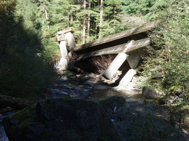
Donovan was essentially correct, although that photo was taken up Wash Creek (my being particular), at the spot where the bridge was washed downstream:

So, my question now is this - should I post another photo? Does anyone else have another photo they would like to post? Personally, I really enjoy the game - it is interesting to see sometimes familiar trails in a different light (sometimes different times of year, etc).
I have never seen that wrecked bridge before.
Interesting piece of archeology.
As for pictures, there must be some folks still heading up to the woods with cameras.
Bring us new pictures!
D

