
 Bryon, I think what you are seeing on the map is the lower leg of the Burnt Granite Trail that a couple of us have been trying to locate, which I call the "Lower BG". It used to join up with the trail in question on the northside of the Clackamas less than a mile west of the Pot Creek Cabin site.
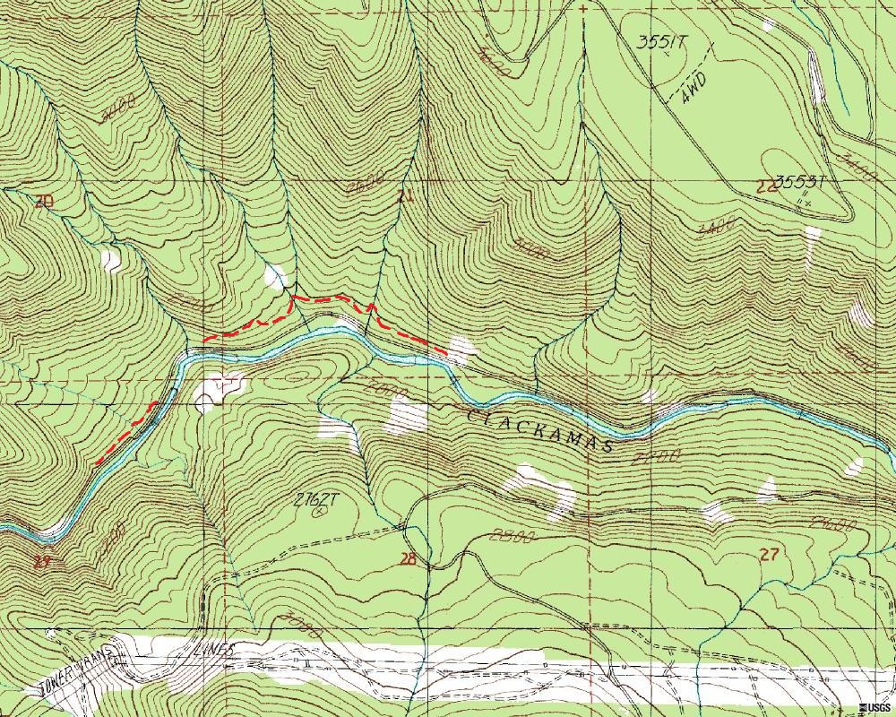
For a lack of another name, I call the trail in question, the Upper Clackamas River Trail or UCRT. It followed the Clackamas from just west of Austin Hot Springs to Pot Creek Cabin and on up the river. The 46 road wiped out most of the trail, but I have been able to locate about a 1-1/2 mile segment and other pieces. The following map shows the segments in red:
Bryon you can go ahead and post a new photo and start the ball rolling again.
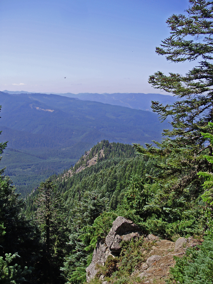
This photo was taken a few steps off the trail to the more or less West or WNW.
The trail was once famous, then abandoned, and now back but seeing limited use.
It is not in a wilderness.
And thanks for the map - I have found some sections along the river but not that one.
I like the new drag and drop picture upload feature. Very quick upload speed compared to before. And I see that it now will accept 2 mb picture files.
I'm going to take a wild guess and say it is from the Rimrock overlook trail on Mt Mitchell?
The trail in question is quite a few miles from Mount Mitchell.
The particular viewpoint is as high or even higher that the Mount Mitchell overlook. It is not taken from the highpoint of the trail.
Would this be the Rho Ridge Trail by chance?
Don