
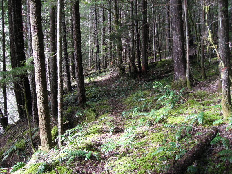
This photo is of an abandoned trail in our district that was replaced by a road sometime in the 50's or early 60's. There is about a 1 1/2 - 2 mile segment left that has several small creek crossings and is a realitively flat hike, except for climbing over some down logs.
Don
I think I was standing right next to you so that pretty much makes me disqualified. We'd be a crooked quiz-show. No big payoffs though...
Robert Koscik said
I think I was standing right next to you so that pretty much makes me disqualified. We'd be a crooked quiz-show. No big payoffs though...
Not if yer still drinking Oly, anon.
 I know I should have said "except Robert" when I put up that photo, for you were the only one that I know of who has been on that trail except me. I have talked about this trail in the past on this website, so that is another clue. Here is another clue:
Don
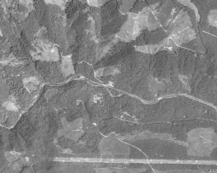
The 1935 Forest Service maps show trails south of the Clackamas and north of Big Granite which are probably it.