Is this on the Old Baldy Trail between the 504 and 505?
Is your picture taken on the way to Cache Meadows?
So I'm wondering which maps you are referring to. I've gotten a bunch of Cadastral maps dating from the 1890's to the 1940's (depending on what area it is), but the Pansy Lake area I don't see any mining claims.
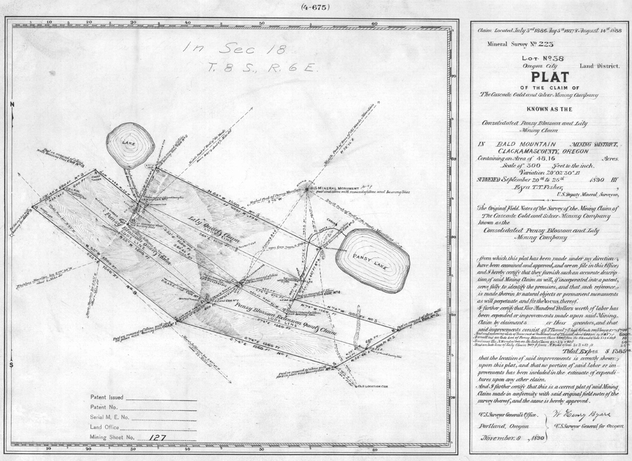
Yes. The same BLM source that published those online also has placed online all the mining claim filings also. Here is the one for the mine in question, and it also shows the green lake pictured in my earlier post. It also shows cabins at Pansy Lake and it is well to know that this claim was made by Bill Bagby after which the Hot Springs in the next valley over was named.
I shrunk this some to get it under the 1 mb limit. The larger original is on the BLM site.

It feels like the Bissel Trail, or at least that area with all the nobles. Not much of a tread.
Robert, that is correct.
Now you get to find us a picture!
D.
It's about damn time!
This is an active trail.

