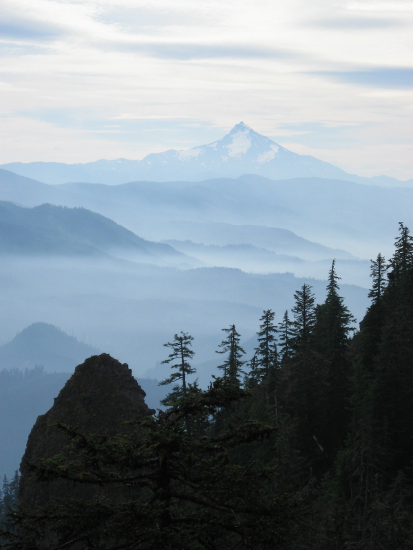
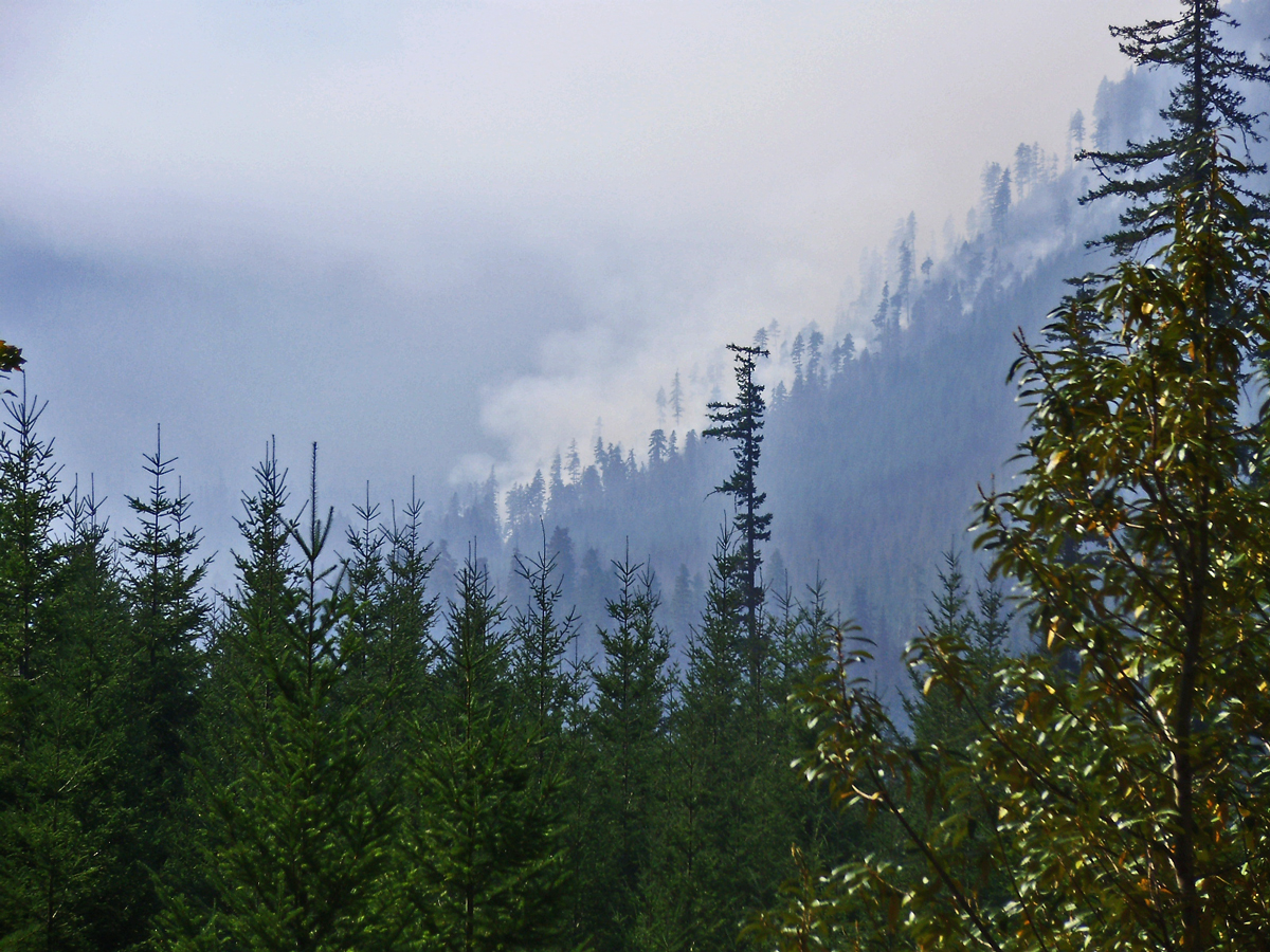
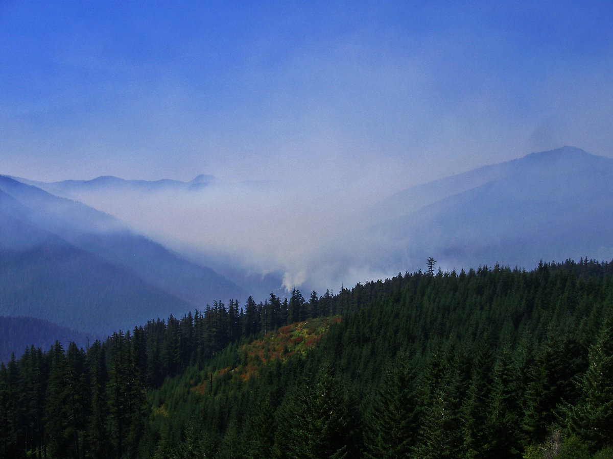
I hiked up to High Lake today and noticed that the fires in Bull of the Woods and south of Olallie are still putting out a lot of smoke, but no major columns as can be seen from this picture.
The fires will probably smolder until the rain or snows come and put them out completely.
It was a nice dry day until around 4:30 pm when the rain started coming down, but we driving back down the Clackamas by then.
The guy I talked to last weekend (a fire guy-I'm not sure of his exact title) said they are essentially just leaving them alone, watching them to make sure they don't flame up or threaten the lookout. If neither of those things occurs, they will just let them burn. They were natural fires, started by lightning, so it is part of the natural cycle.
One weekend when I was up the South Fork, the smoke was so thick you couldn't see much at all, and you could actually smell the fire. The wind wasn't very strong that day, so I'm guessing it just kind of stagnated.
Hopefully they will burn out soon.
The Bull of the Woods fire hopefully will go out with the current several days of rain. And hopefully they will open the Wilderness and the north part of Jefferson, as well as the Olallie Highlands trails.
According to some forest service folks I talked to, Welcome Lakes basin is charcoal, as is much of Pine Cone Creek Basin. More than half the burn area saw only ground fires, with most but not all trees apparently surviving. The rest - a guesstimate at this point is a thousand acres - saw stand replacing burns of old growth. Most if not all the crown fires happened on one extreme fire day, and the rest of the time the fire has been creeping through the undergrowth and downed timber.

Bull of the Woods fire nearing the Collowash.
Lake Lenore burned over but I am not sure how severly. This section of the fire should be visible along Big Slide Mountain from Bull of the Woods.
The fire made a run two miles long along the ridge north of Schreiner Peak.
Affected trails include 556 - 554 - 557 - 555 in the high country and 554 most of the way down and 559 at lower elevations. Schreiner Peak trail burned over at both ends.
Once the area opens again if it does before snowfall Bull of the Woods will be the easiest access. It is unknown how damaged and hard/easy to follow the burned over trails will be.
The Pacific Crest Trail burned over in four spots south of Olallie. The block of land between Monon and Olallie Lakes burned.

Battle Ax on the skyline left-center and Schreiner Peak to right. Much of the area in Pine Cone and Welcome Creeks drainages to the right burned. Main valley pictured is the Collowash.
Even if the fires go out, I'm not sure they will open the areas immediately. It sounded to me like there were dangerous snags they wanted to take care of before re-opening the areas.
If the damage is as bad as it sounds, that would be too bad. I'm glad I got to go into the Welcome Lakes basin the last two years and see it before this. The maps I saw showed almost all the fires surrounding Shreiner Peak, although I don't know how accurate they are. At any rate the whole area is going to look a lot different....I guess the brushing work they did on the Welcome Lakes trails was a waste of time!
Thanks for posting the info
Byron thank you for all this info. I like others have been wondering what is in store for Bull.
I think it's good that they are letting it burn. Just part of the process.
