I've been a longtime lurker on this site and decided after yesterday it was finally time to join and share some helpful knowledge. I've found plenty of amazing hikes from this website I'm sure I would have no clue existed otherwise.
So after reading up on the White Iris and Bissell trails, I decided to try to access them from the middle TH's on 4614. Well, I didn't make it far until this very nicely paved road suddenly turned it to one of the many dead end eyesores in the area, littered with broken glass and shells everywhere. The road had already been bermed higher than I think I've seen any other, and to top it all off it looks like they actually dynamited the road to make it complete inaccessible immediately beyond the berm. What a shame to put so many different resources to waste.
I was infuriated as I had no idea this road would be demo'd, so I immediately called the Estacada ranger station about it. Of course, the lady I spoke with was absolutely clueless and had no idea why it was done. I asked why more isn't being done about greater transparency in information online and she didn't answer. She gave me another phone number to call one of their engineers, but I could tell she really didn't care.
The road beyond the berm: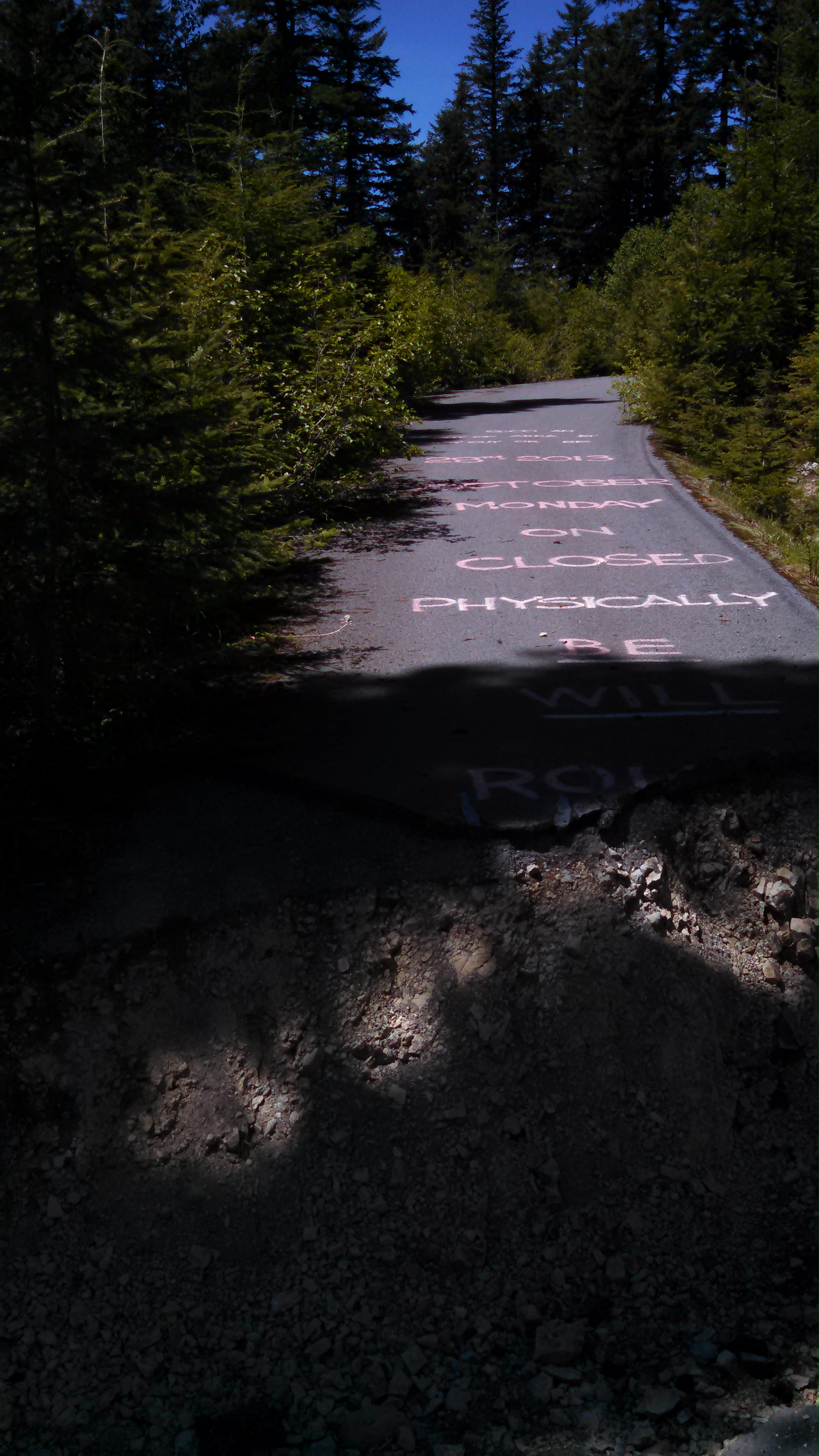
The berm was massive, probably around 10'
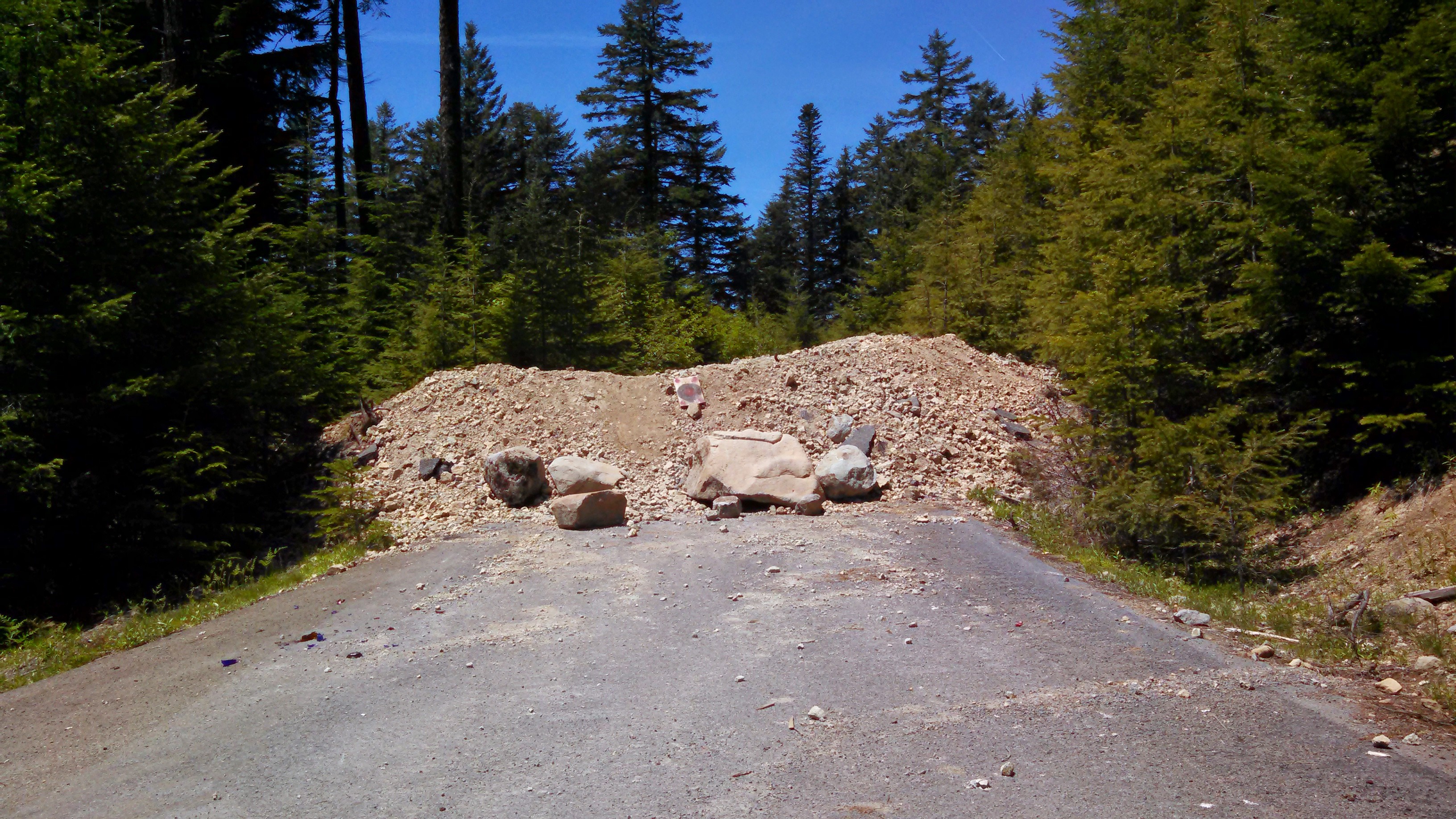
So I decided to just park off the road near where the road had been berrmed and then follow the Old Baldy trail west/north. I made some pretty cool discoveries by sticking to the spine of the ridge near Githens mountain instead of following the reroute. Not sure exactly what happened here but it looked like they were going to log the area on the ridge but didn't get far. There was orange spray paint on the trees EVERYWHERE. If I read correctly, about 20 years ago some activists blocked the road to Old Baldy thus the cutting never took place. The tread on the old route was already pretty buried with brush, but I was able to follow many blazes, and old signs!
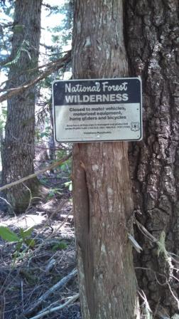
These signs were also everywhere along the old route. My guess is the Salmon Huckleberry rangers put them up 20-30 years ago when it was still "new" to prohibit motorized vehicles in wilderness. The were all oriented so that behind the sign is where the Salmon-Huckleberry started, and on the other side the Clackamas wilderness. I managed to score one that was laying on the ground, a great souvenir indeed.
I then reached a very beautiful lookout/campsite above a high alpine meadow. You could hear the water gurgling through it even from hundreds of feet above. There was a great view of Mt. Hood and Mt. St. Helens when it wasn't shrouded in haze.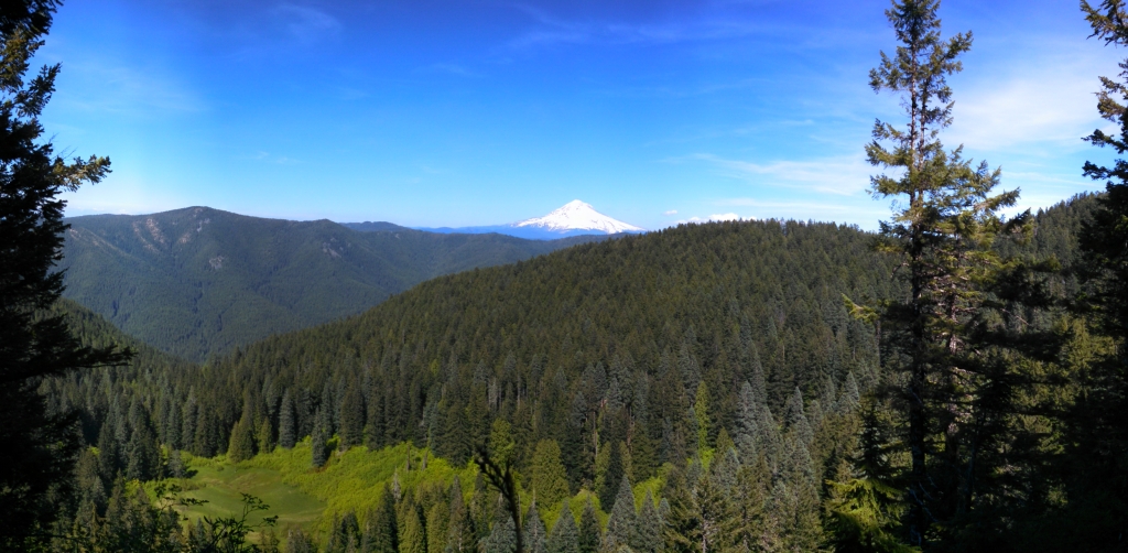
I turned around there and followed the new route to the Jct. with the White Iris trail. The trail was in very good shape between Old Baldy and the 4614. Beyond the road crossing it immediately became more brushy, and even more the closer to 4615. The White Iris's are just starting to bloom in the upper elevation.
After I got back to my car, I still wanted to locate the lower TH's of the Bissell and the White Iris trail. Fortunately, 4615 hasn't been decommissioned and provides very nice paved access, just like 4614.
Unfortunately, the Bissell trail is now being used illegally by dirtbikes. I was pretty tired out so I didn't make it far up either trail from the lower TH's, but it was very apparent dirtbikes had been on it, there was a good track from them riding it all the way until I turned around. Funny how much better of shape the Bissell trail was in comparison to the White Iris trail, thanks to the offroaders I assume.
Dirtbike tracks in the mud.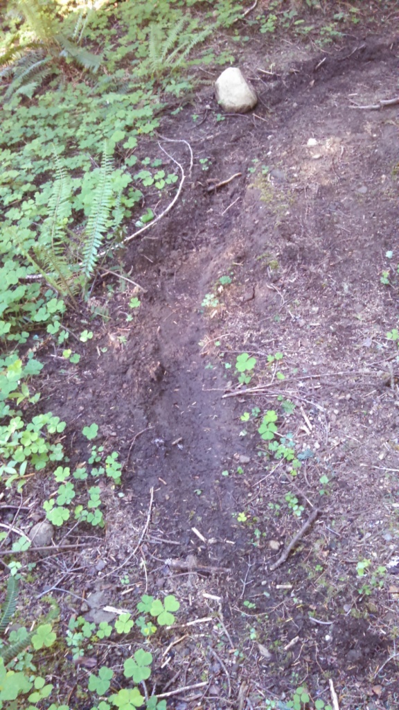
I finished up the day by locating the lower White Iris trail, and followed it for a very short length. Here the Clackamas White Iris was the furthest along, and was starting to carpet the trail. This was also the brushiest trail I'd hiked all day. I wouldn't be surprised if I was the first person to walk on it this year, as the brush was growing up directly in the tread. Nonetheless, it was nice to see the forest regenerating beautifully here from a somewhat recent clearcut. It had that awesome rich smell to it, and I was serenaded by what I'd assume was a white spotted owl on the little time I spent on the trail.
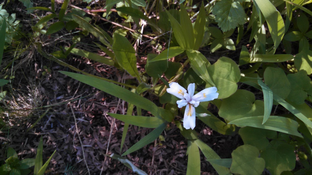
Tread on lower White Iris: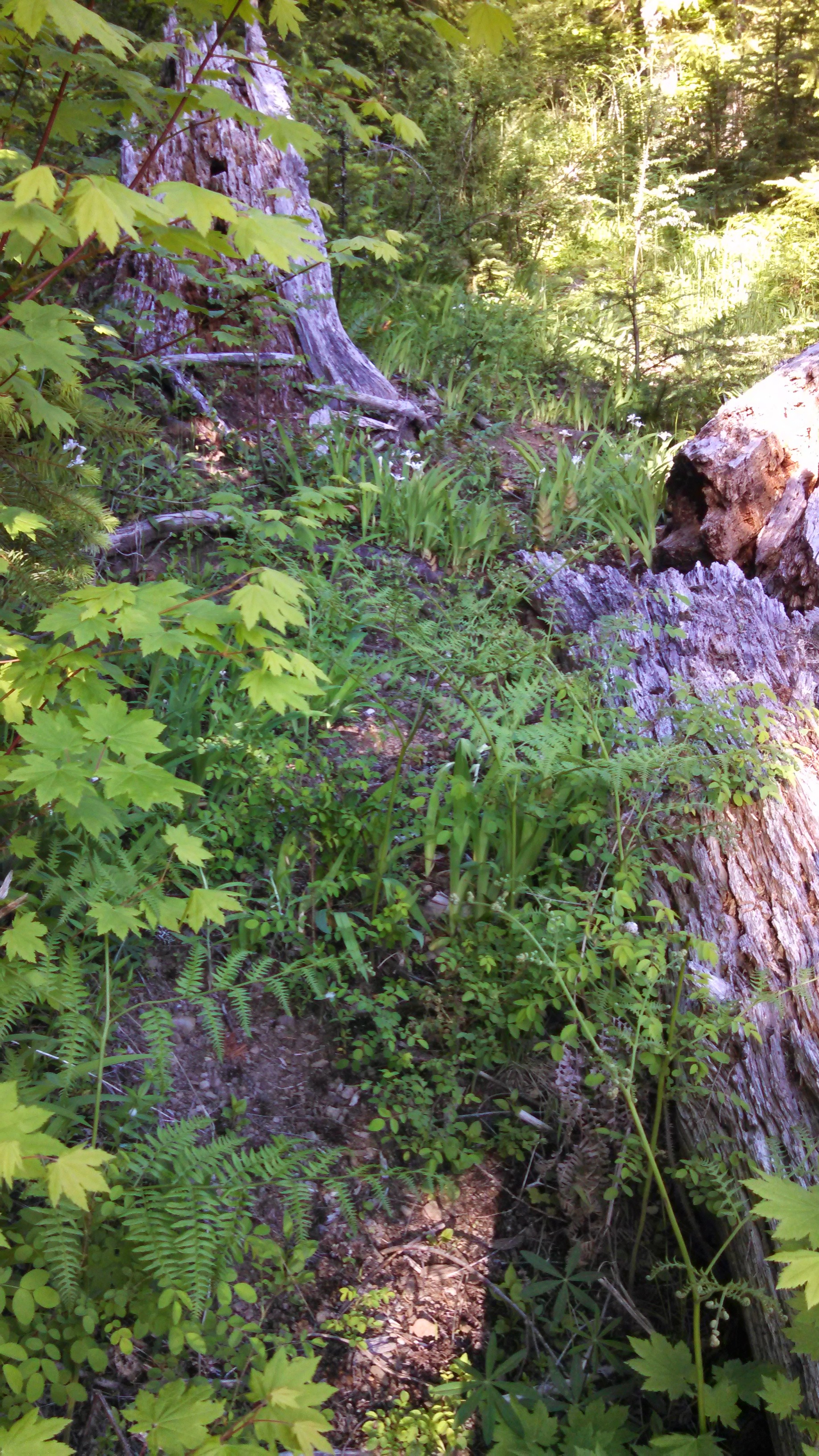
So the bottom line is this: the White Iris trail needs some boots on it so get out there and see it! You won't be disappointed by the flowers.
Thanks for the trip report. I wonder how many more roads they plan on blocking or decommissioning?
Great info on the Old Baldy/White Iris Trail. I hadn't been out there for a couple of years, but noticed that the bottom end of Bissel was being used by ORV's back then eventhough it was wilderness. I was wondering what was going to happen to the 4614 road, seeing how it was a paved road in a "new wilderness" area. The new definition of wilderness must include roads and clearcuts for that's the way the FS makes them now days.
Welcome
Shouldn't there be some type of public comment process when they consider closing these roads? After all, this is public land, not just the governments.
The lady on the phone basically told me that they can only keep a certain amount of roads open now.
I wish i knew the story about all the marked trees, the paint was pretty faded. And the area has obviously been heavily logged in the past.
Thanks for the info on the road decommissioning - too bad - based on that photo it looks like they did it last fall?
Anyway, the White Iris trail truly does need more boots on the ground - I did it 2 years ago, and it was pretty faint in places then. I'm sure it will continue to fade away unless more people hike it. That would be unfortunate - the white iris display is BEAUTIFUL if you catch it at the right time.
Interesting note about the re-route of the Old Baldy trail - I had always wondered why the trail took that "detour" and didn't follow the ridge (which would make more sense).
