No, but it met it near the Experiment Station.
On top there is well logged over and roaded and regrown with substantial second growth and I believe I concluded the junction would be gone.
Could be wrong of course.
Did spend time looking for the Memaloose Trail but only found suspicious activity and decide to stay away.
Don2
I read this quote on here: "Trail 514 descends northeast from the junction with 516 to a crossing of Memaloose Creek, then climbs to Road 310, also closed. Both roads 310 and 240 are spurs off Forest Road 45."

On the 1966 MHNF map, this is what shows up. The East wall of the memaloose canyon was never logged, but the west side was logged clear to the creek. That tells me that only a small segment of the 514 would even possibly exist in there.
We've been known to get excited over small segments. They can be very enjoyable.
Occasionally a trail can be found after harvest.
Don2
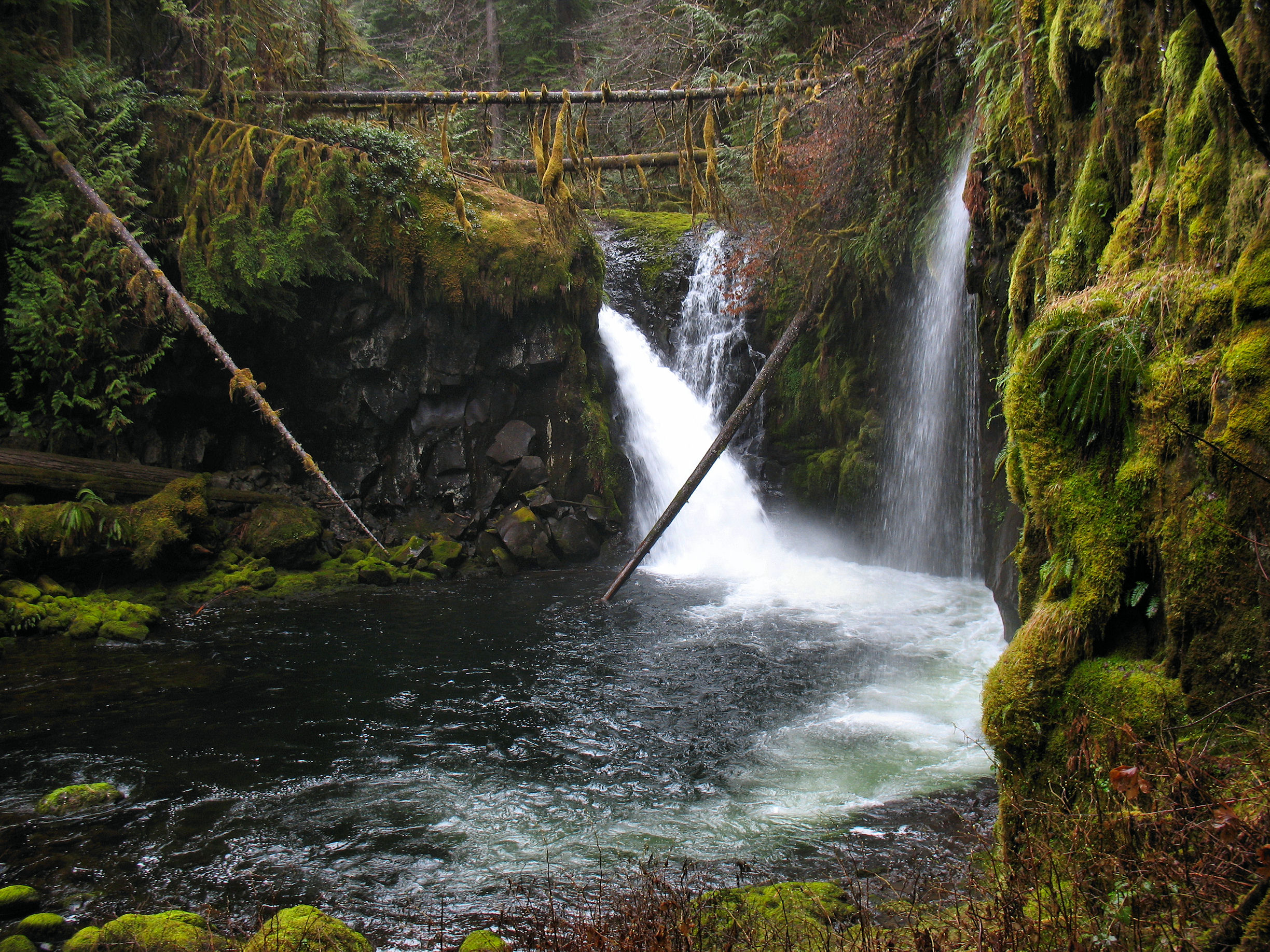
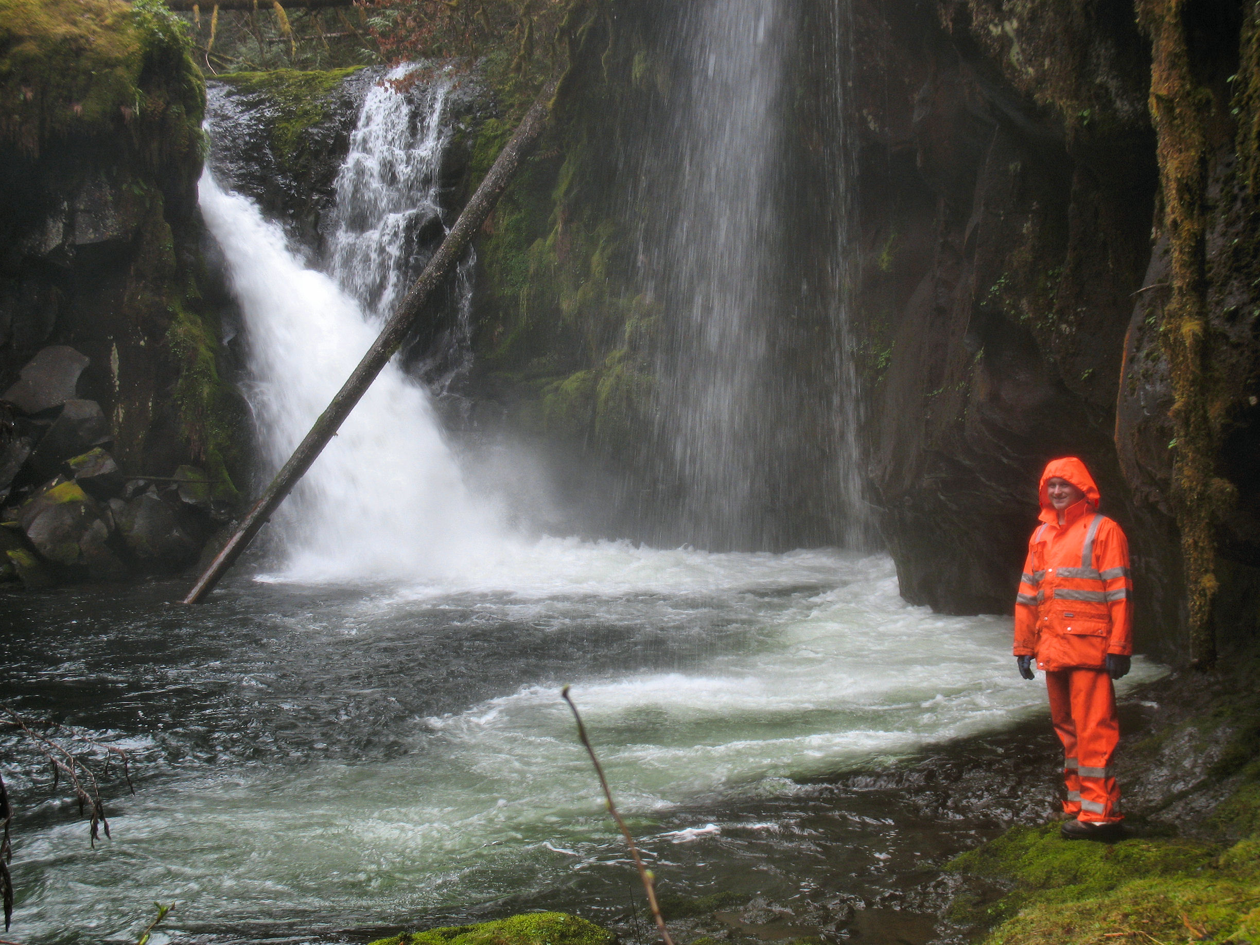
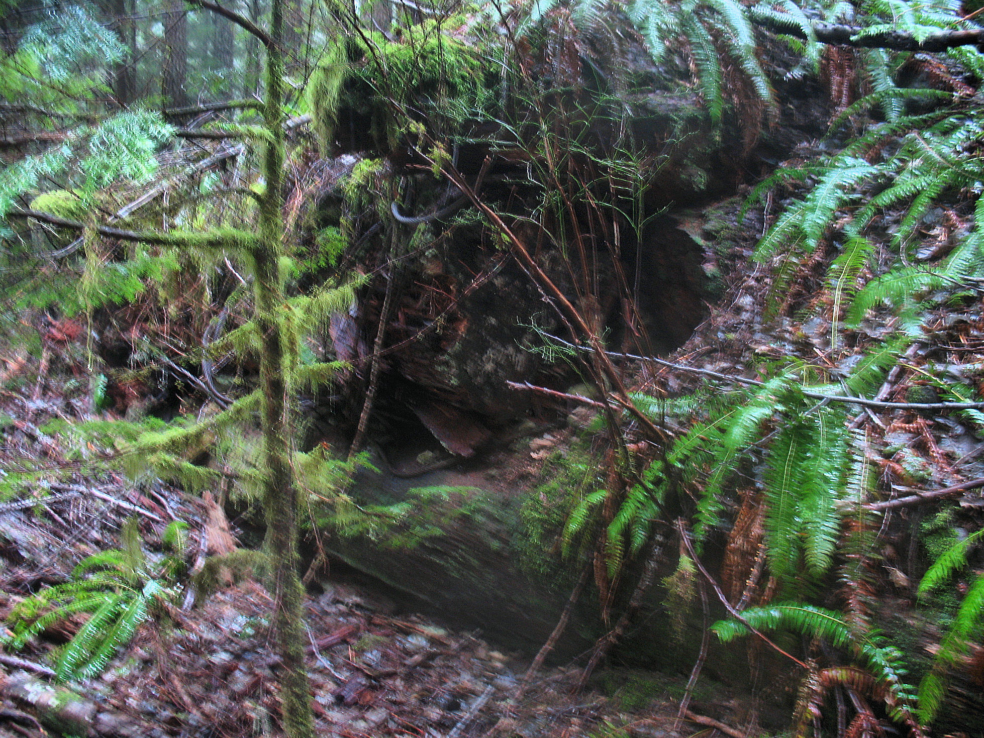
Made it back out to the 516 Hillockburn Trail today. I finally was able to reach the upper falls on the South Fork Clackamas River as well. They were a nice site. I also am curious about some ruins that exist at the end of the first 0.1 mile section of the Hillockburn Trail. Right at the end of the old road, theres as many as 6 or more very large logs stacked in an interlocking square pattern, with several large logging cables attached. Assuming this was for logging, what did it used to be? My only photo of it turned out blurry, but it kind of shows it.


