Had a great day out today with three other trail advocates, cleaning up the Grouse Point #517 trail. We made a side trip to Perrywinkle Falls, and an even longer side trip down to the rarely seen South Fork Roaring River.
Companions for the day were Paul Turner, Rob Williams, and Kirk T.
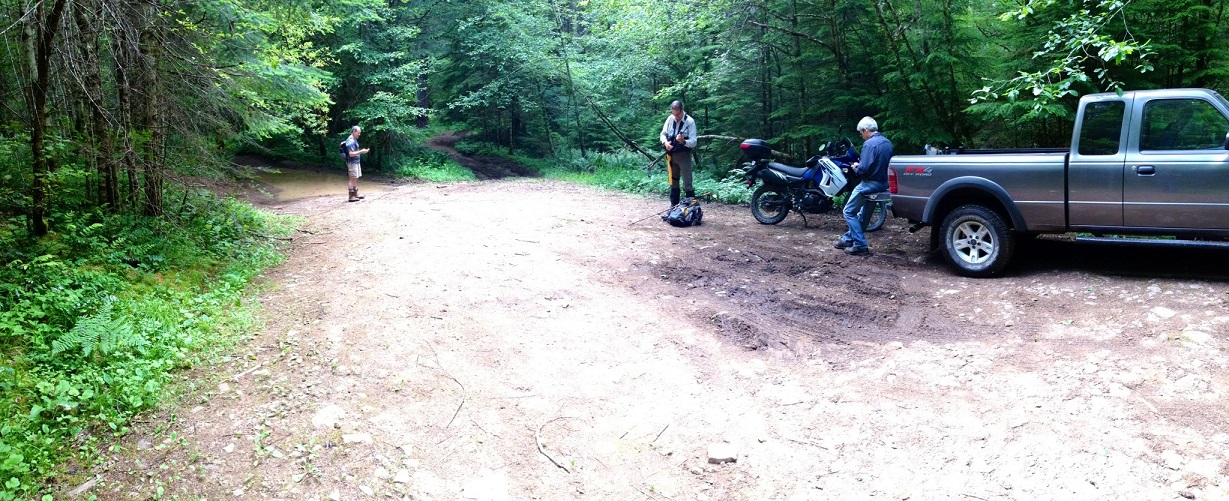
Trailhead on FR 4611. From left to right: Kirk, Paul, & Rob
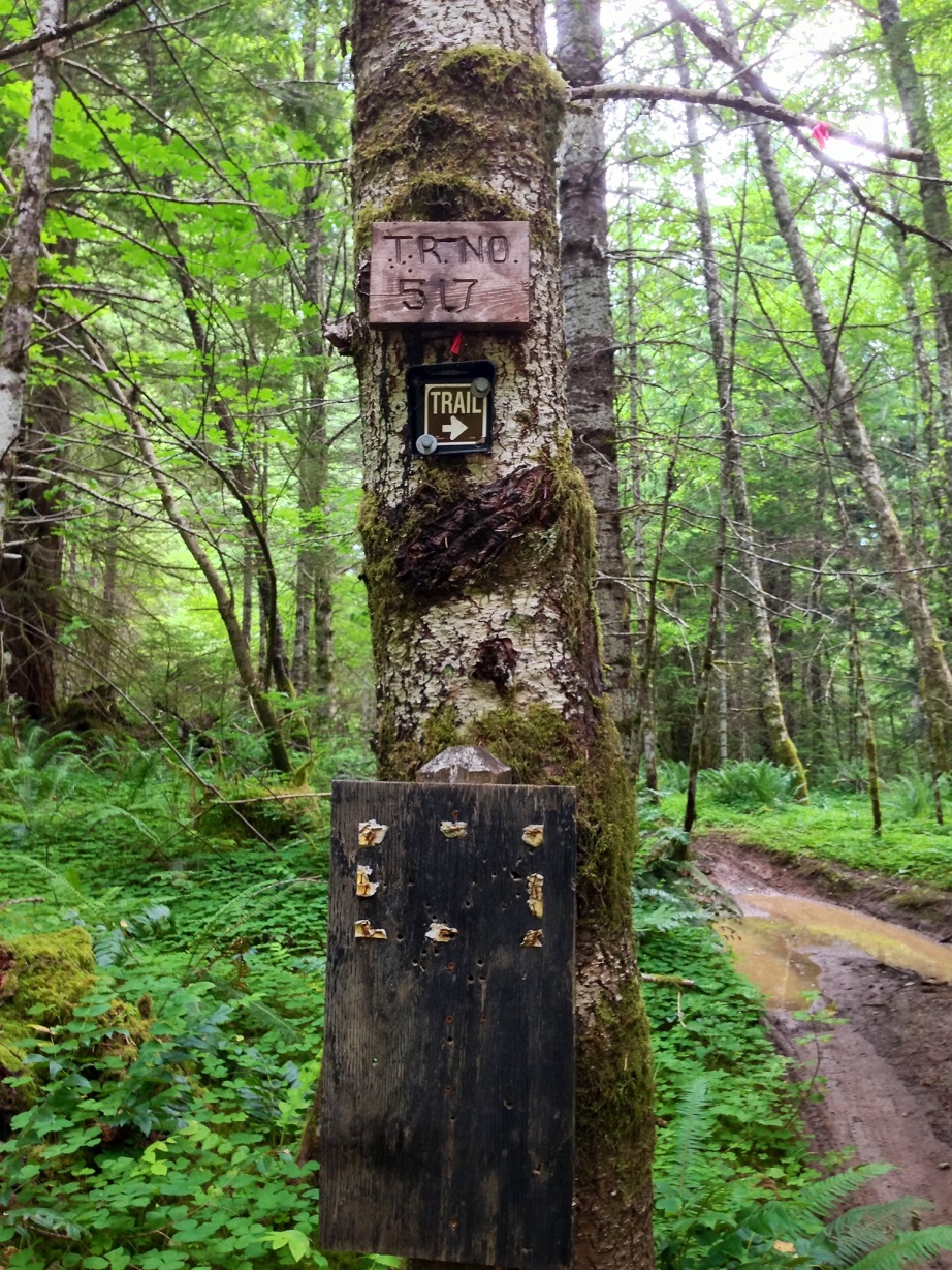
Trail sign
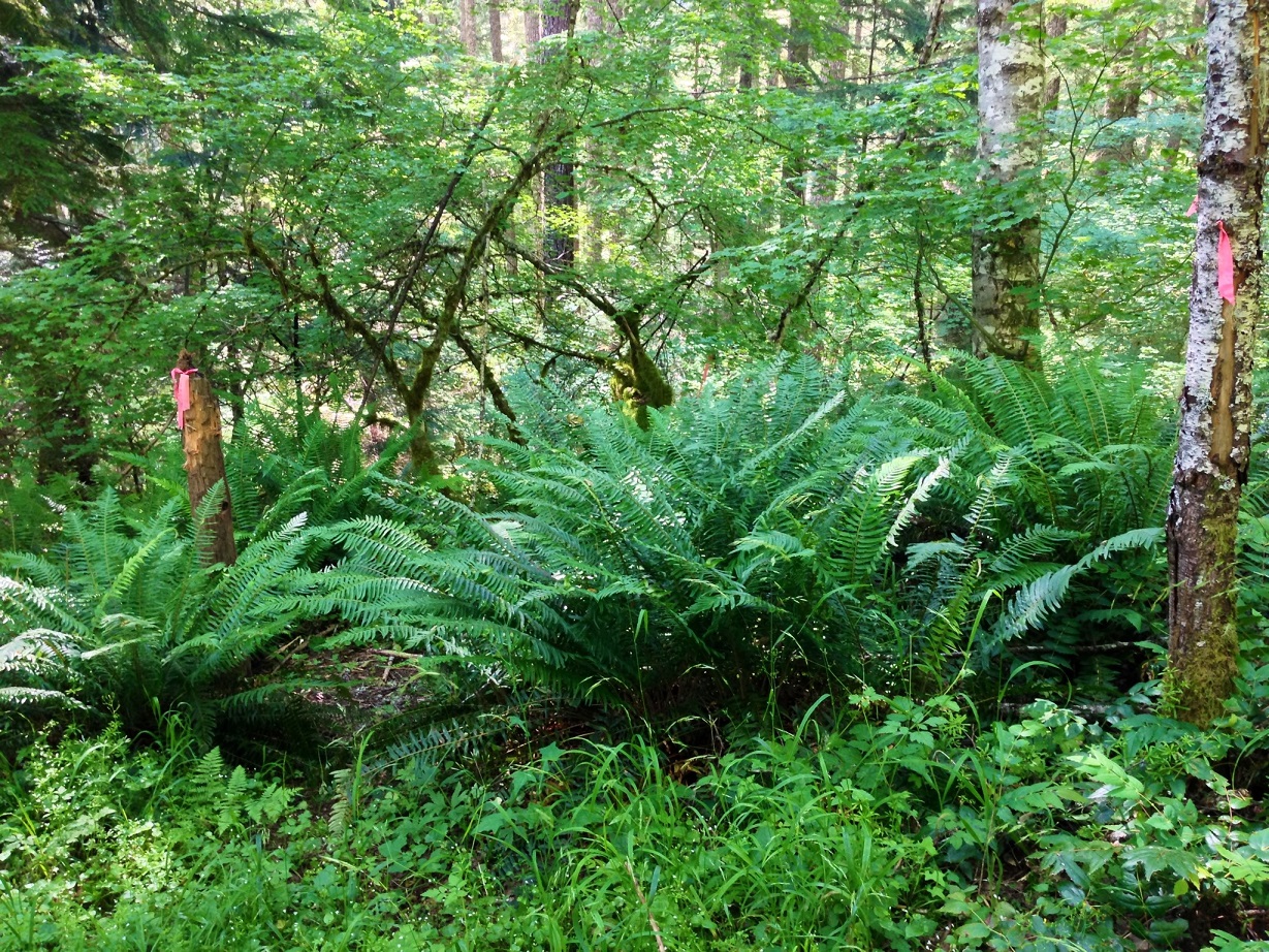
From the end of the drive-able road, there's three forks. The trail is located down the middle one. You walk down the road for atleast 1/8 mile, then it begins unceremoniously at this shot up stick.
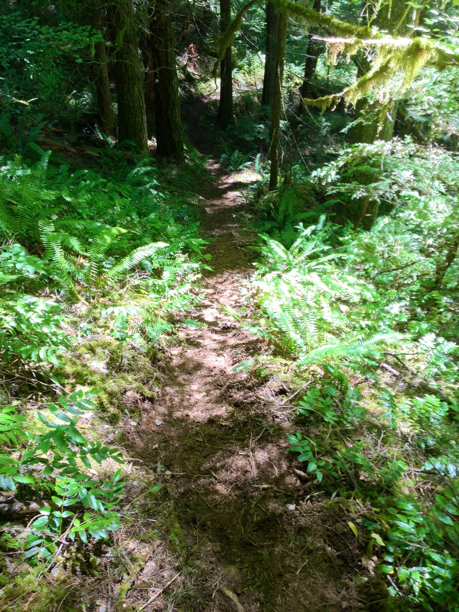
This trail starts out innocent enough, but soon drops off the hill in very steep fashion. The trail more-or-less goes directly down the extremely steep canyon of the Roaring River.
Because of the steep/direct nature of the path, one is at the river fairly quickly, with alot of elevation loss behind them. We cleared the trail of all sticks and logs on the way down, except for one large one that's easy to step over. We immediately turned upstream on the trail and headed for Perrywinkle Falls. A couple hundred feet of heading up the river, the trail turns and ends at the river, and the bushwack begins. We had to cross a very soft bog, and climb back up the hill into the forest to catch a bench in the hill. It really wasn't bad walking, and we were quickly at Perrywinkle Falls.
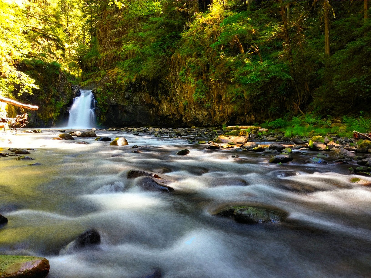
Perrywinkle Falls
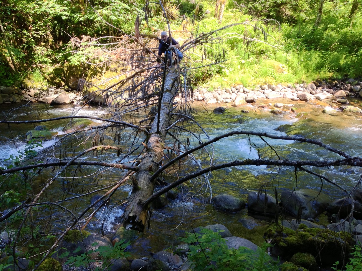
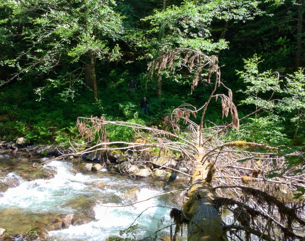
We returned to the end of the trail, and now had to cross the river. Kirk and Paul waded across, while me and Rob crossed on the log that has fallen right at the trail crossing. No other logs are laying across the river in this whole stretch, so its very lucky having this one fall where it did.
Rob crossing the log
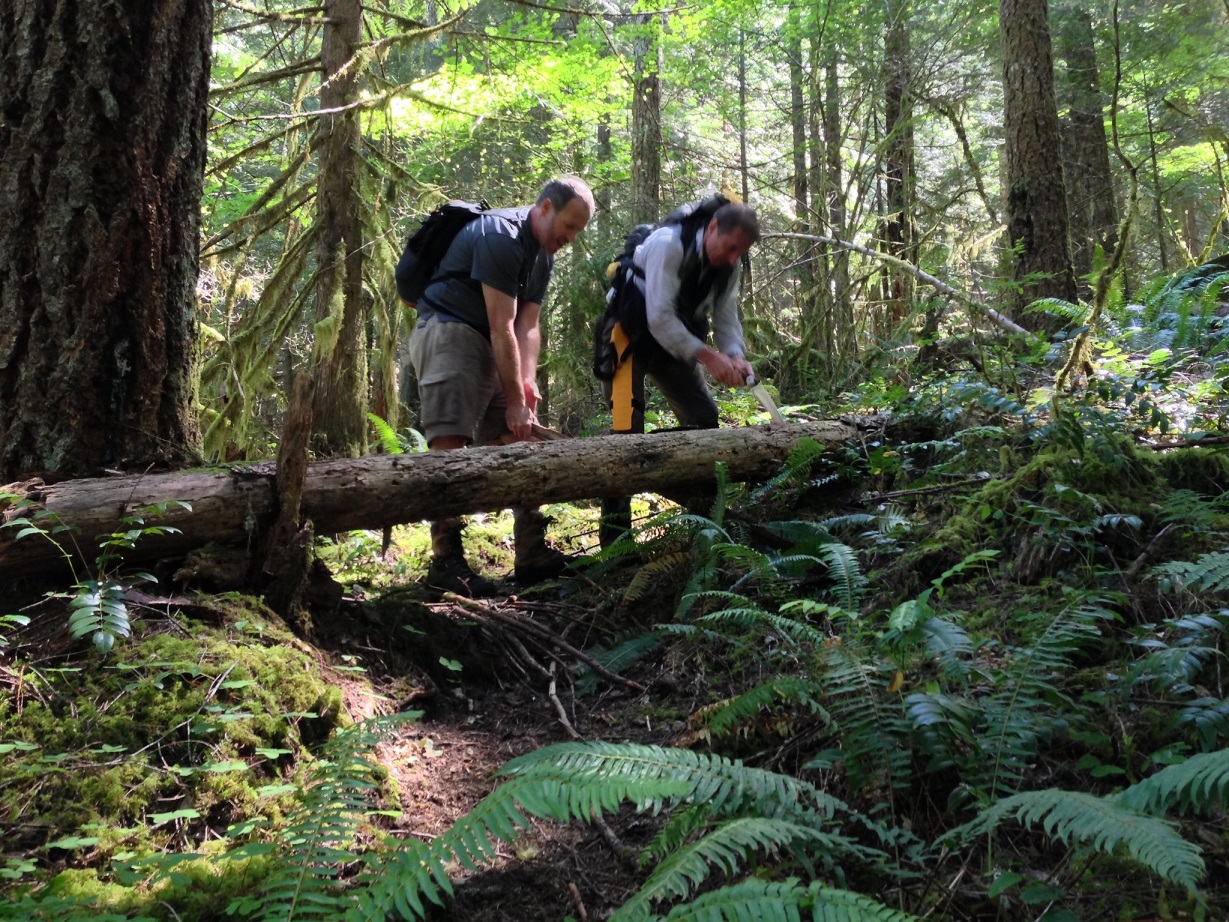
Right uphill from the log is the rarely used continuation of the Grouse Point trail. The trail is in pretty good shape, and we cleared all logs and sticks on the trail.
Paul sawing a log with Kirk keeping tension
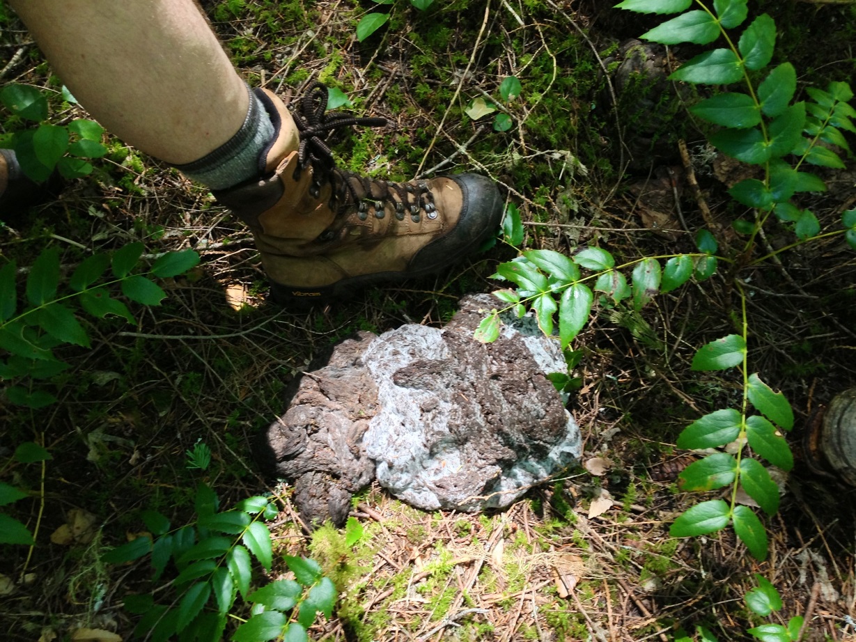
We went 1/2 mile or so up the trail, gaining several hundred feet of elevation. At a flat plateau in the side of the canyon, we made our way off trail to the elusive South Fork of the Roaring River. Not many folks venture out to this river, located in the middle of a nearly-trailess wilderness. The going was only moderately difficult for experienced bushwackers. Along the way, we found this HUGE pile of bear scat. It was giant. It smelled of rotten berries
Kirk's foot for scale
As we descended down into the canyon, we eventually got our first view of the South Fork Roaring River. Paul was the only one of us that had laid eyes on this river prior to today.

We crossed on a big log jam, and headed upstream to potentially locate another waterfall a kayaker found years ago. We went a good 600 ft upstream, and reached a spot where we could see far upriver, but no waterfall could be seen. There was a big log across the river ahead, so we made our way to it.
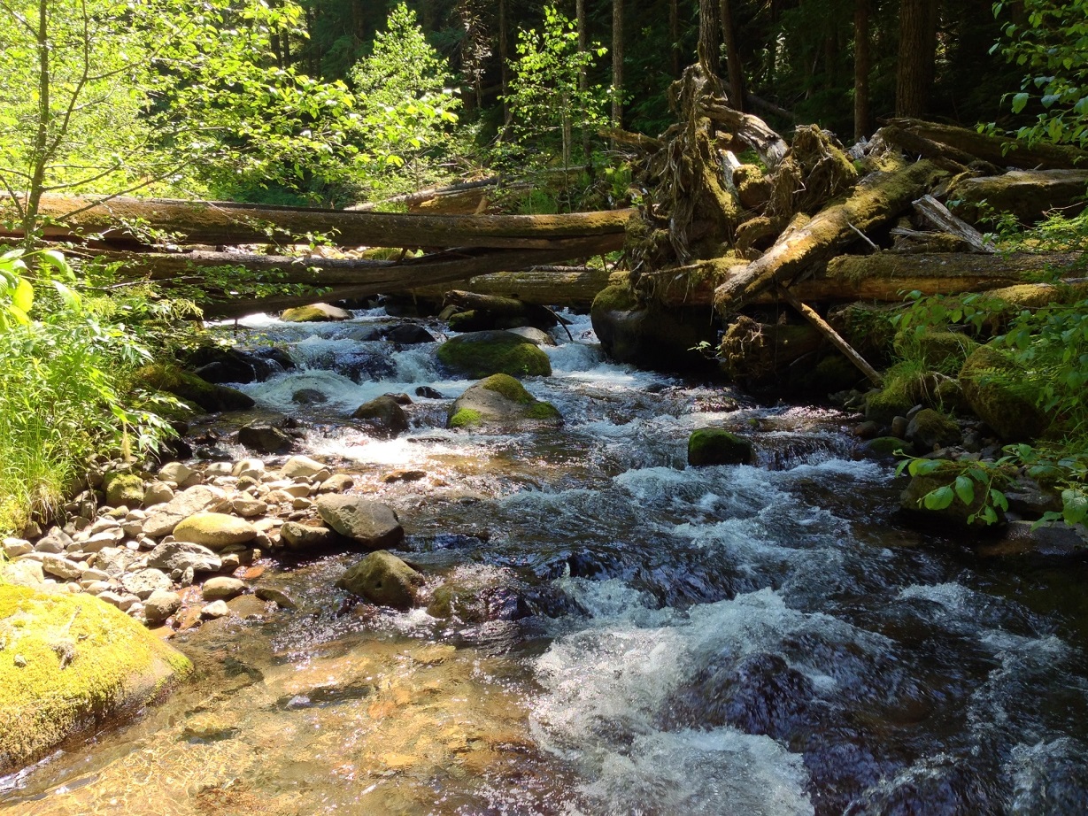
This would be the furthest into the wilderness that we got. We sat on a pile of logs and had lunch, then made our way back up the canyon wall to the Grouse Point trail. The going was brutal in some spots, but we eventually made it up the ridge and found the trail.
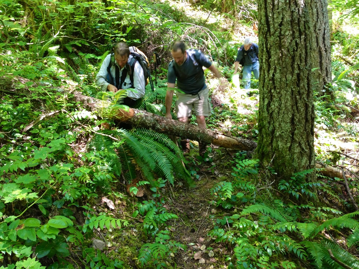
Along the way up the trail the first time, we found a spot that someone had made a sizeable trail that cutoff a large switchback. We decided to eliminate the new user trail, and clean up the nearly abandoned switchback section. I should have gotten more before and after shots, but was busy cutting sticks, and clearing the tread of debris.
One before & after I did capture:
Before:
After:
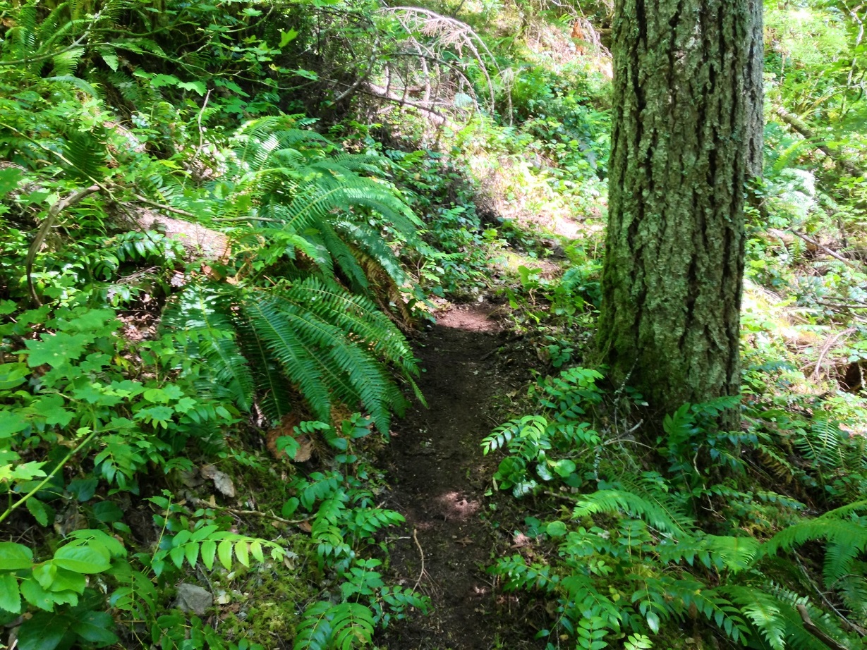
We cleared several large logs that we had decided to skip on the way in, which made the trail 100% clean. I'm happy to declare that the Grouse Point trail from 4611, down to the Roaring River, and up the other side for 3/4 mile is completely clear and hikeable!
We made it back to the log and crossed the river in each the same manner as the first.
Then we made the brutal climb back up to the road on the trail. This trail is the steepest official trail I've hiked to date. It was very much a purpose-built trail, with families not it. Eventually we all made it back to the rigs, huffin and puffin.
5+ miles, and ~2,200 EG
Great day out in the Roaring River Wilderness. Thanks Paul for setting this up, and another thanks for Rob and Kirk for a great day out. If one of you guys has a map of our path, I'd enjoy seeing it.
Thx Brian for the report and everyone for the trail work. It was a great day with good company. Too bad we did not score the waterfall on the South Fork.
There are a couple of nice things about that tree Brian and Rob crossed on. One is that is cedar and above the high water line so it is going to be there a while. The other is that it just so happens it is at the exact point where the 517 crosses the Roaring River. I think it needs to be de-limbed for scooters. Rob scooted across while Brian walked on top - its not very wide and a little bouncy and my sense of balance is not that good so If I ever use it I'll scoot.
--Paul
Found Pete's exploration of the SF Roaring River I was talking about..
http://northwest-rivers.com/blog/2008/09/11/fall-season-begins/
Amazing report - and even more amazing to me is that he said he didn't bring a map or a GPS to do all this bushwhacking. I wonder what he considers "not far"?
Thanks for the report. How is 4611? One hell of a road...
I have spent a lot of time clearing the west end of that trail over the past few years, it was pretty vague at first. Even got to use my crosscut.
