Yes, 45 closed on the north side of the bridge. Actually, I was impressed that it has two barriers blocking both lanes and those are chained together and to the sides of the bridge. I think they are even discouraging walking across the bridge.
The confluence of the SF and main Clackamas actually looks pretty good. But I could kinda glimpse some more hot burn further up the drainage (maybe Memaloose?) but it's tough to get a good angle on the topography.
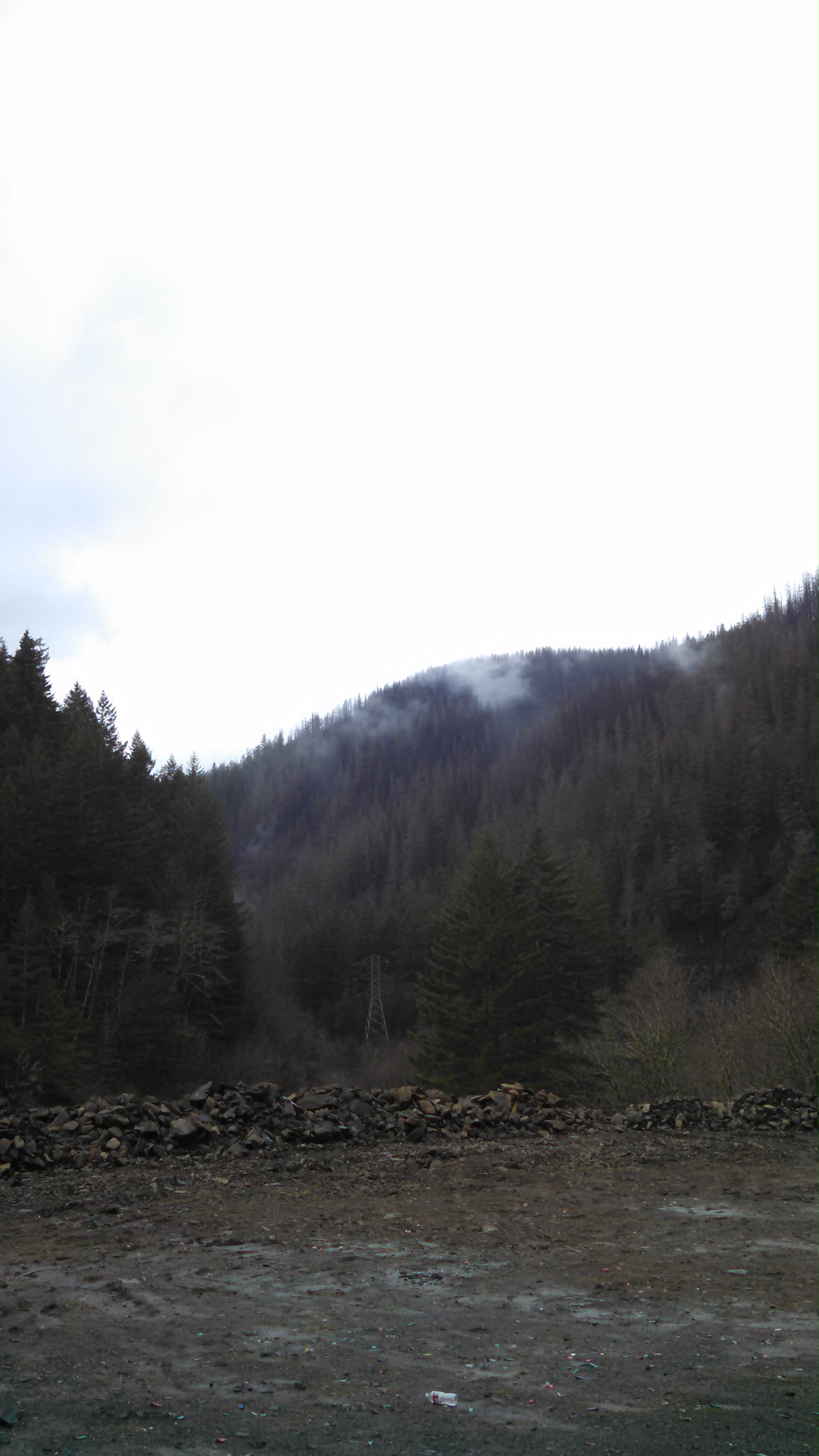
The hills were beautiful with snow on the trees up high.
Well, they are unofficially no longer enforcing the closure. Don't tell anyone but anyone can drive up that wants to. Travel is at your own risk as stray rocks flying around are possible.
Be aware that rockfall is still a possibility and falls of any size are possible especially after heavy rain or repeated freeze-thaw cycles. Its been 3 weeks since the last road-closing slide.
There are two contracts to remove snags, but I'm not sure how far along that is. If still going on it could lead to road closures too.
Bryon Boyce said
Well, they are unofficially no longer enforcing the closure. Don't tell anyone but anyone can drive up that wants to. Travel is at your own risk as stray rocks flying around are possible.Be aware that rockfall is still a possibility and falls of any size are possible especially after heavy rain or repeated freeze-thaw cycles. Its been 3 weeks since the last road-closing slide.
There are two contracts to remove snags, but I'm not sure how far along that is. If still going on it could lead to road closures too.
That advice bears repeating - after driving up that way and climbing up some of the burned hillsides, those hills are VERY loose. When we went up there were rocks in the afternoon that were not there in the morning. If you venture out that way, be VERY careful in those areas.
Finally checked out the burn area last Friday. There is certainly a lot of devastation, but I suppose it always could be worse.
It seemed like there was a fair amount of traffic on the road.
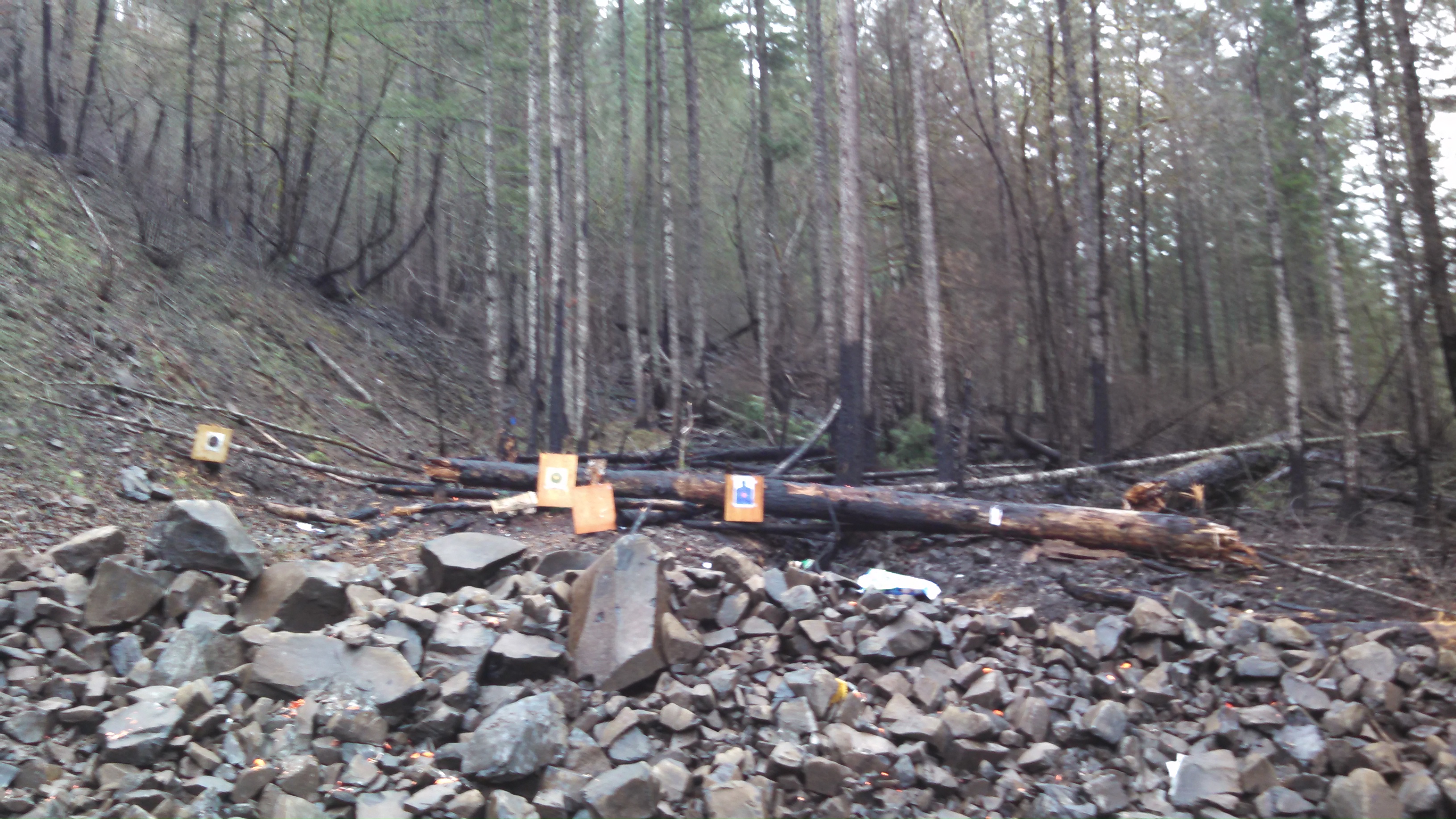
One of the first places I wanted to checkout was the site where the burn originated, an old closed quarry right near mp36. Unfortunately the local yokels have already begun to litter the area with gun debris once again, including targets set up RIGHT where the fire originated. I was honestly so disgusted with the area I couldn't stay for long.
How could anybody with half a brain think that a huge grove of trees is an acceptable backstop? I'm no shooter myself, but it certainly doesn't seem like rocket science. I've seen countless trees desecrated with bullets, specifically up Memaloose road. How can anybody have such disrespect for their surroundings?
The folks responsible for starting to the fire should have to serve some time locked up and think hard about what they did, or at the bare minimum pay up for the millions of dollars of damages that they've assuredly caused. Otherwise, we're sending the message that we as a society accept idiots toting firearms, dangerously shooting them, with absolutely no grasp of common sense or regard for others well being.
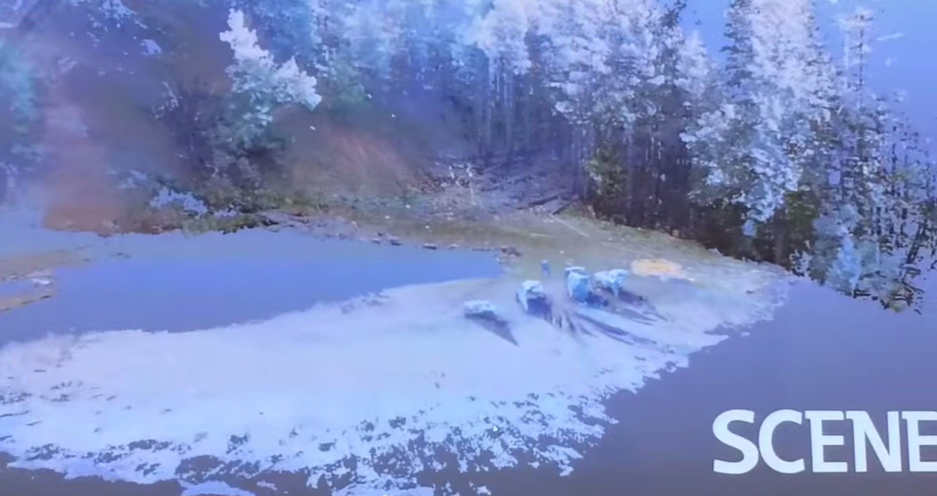
Still from 3D video recreation of 36 pit fire origin, Clackamas County Sheriff's Office:

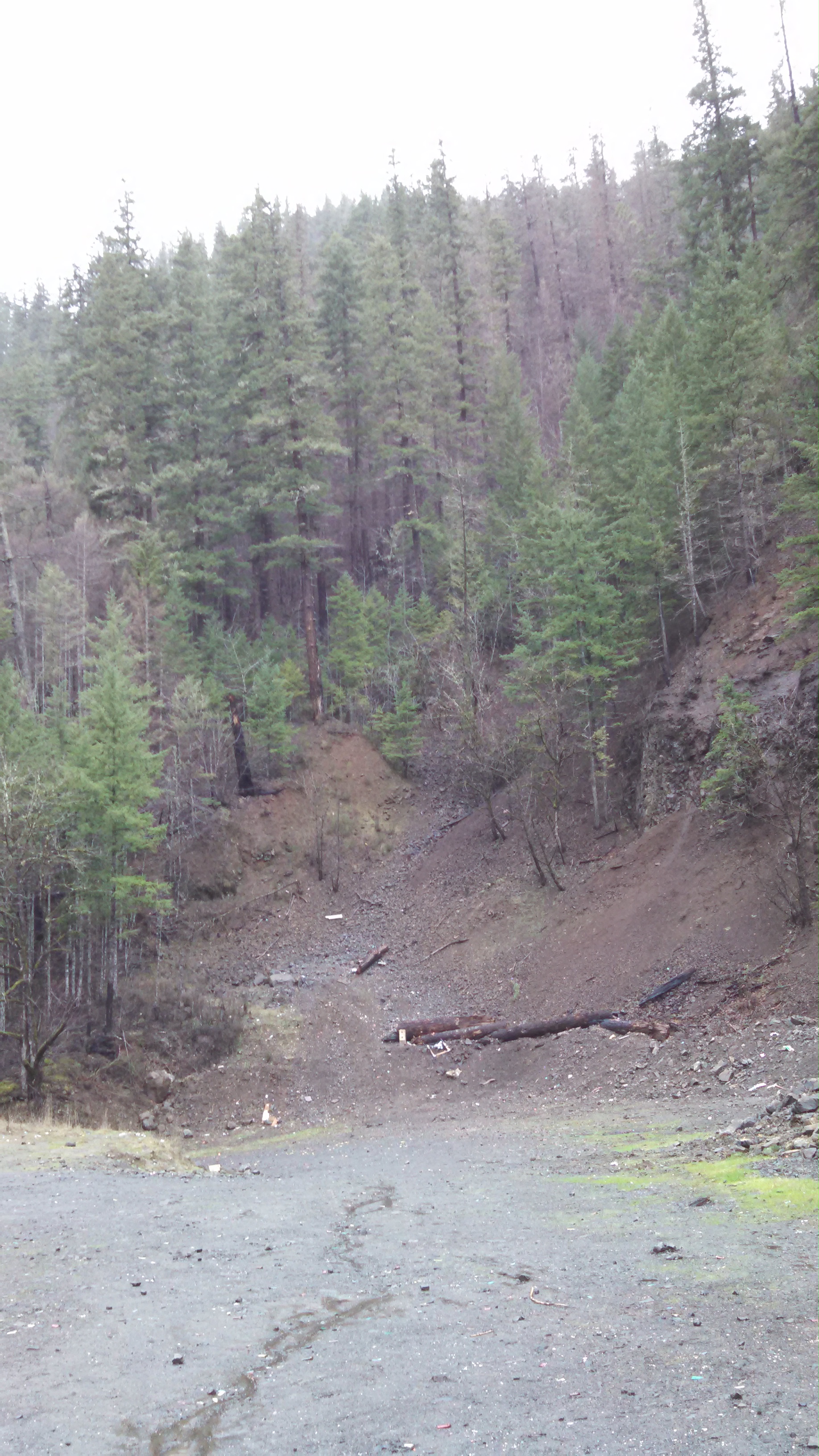
Scene from above in person, 1/16/15:


That is a damned good point. A state highway is no place for a shooting gallery, especially on a scenic river with high traffic. Who do we bitch to? State Highways or the FS?
I was out hiking near lower Roaring River, semi auto gunfire at a small quarry made us scatter downhill off trail, they had no idea we were out there.
