Mostly the plan is to wait and see what the rains do. There might be substantial rock and soil movement onto the road. Past experience would indicate this as a real possibility. Of course you don't know for certain until it happens. Those in control here would prefer not to have to dig anyone out. And its better to be castigated for unneeded caution than for buried cars.
If nothing moves after some heavy rains we might see the roads open. If stuff does move then they will wait and see what the next storm does. And so on.
I guess my real problem is why can't they say something like that, rather than "closed indefinitely"? It isn't making any promises, just giving a little more background on what might constitute re-opening the road. But based on previous road issues (the falling rocks one that closed 224 for several months a few years ago is the freshest in my mind), I kind of doubt 224 will re-open this year.
I wish they would re-open 45 from the Hillockburn side, though. Maybe this weeks rain (sounds like it will be pretty heavy - a couple of inches in 2 days) will change things.
Patience was never one of my strong points, though.
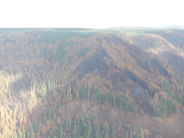
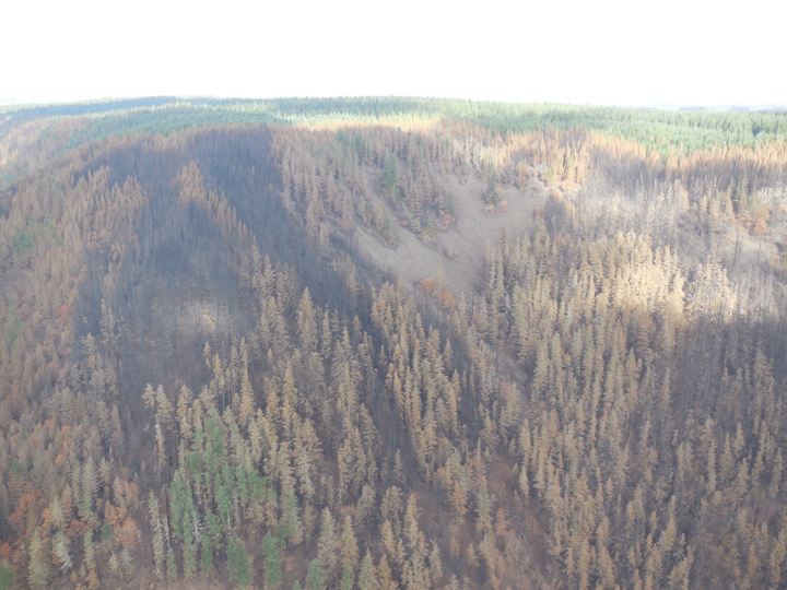
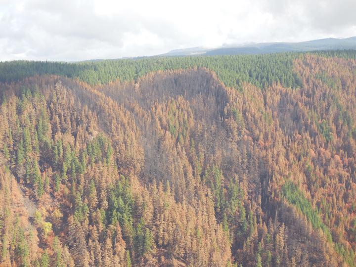
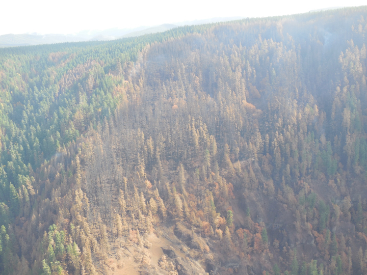
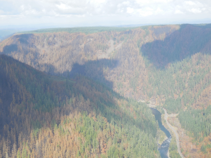
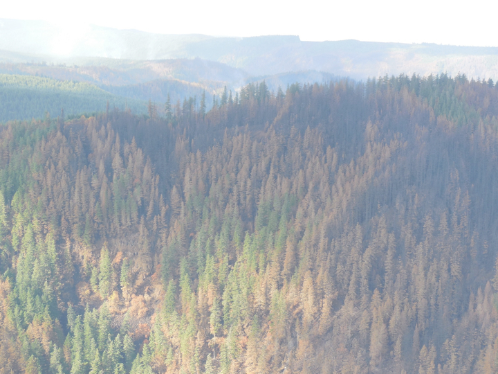
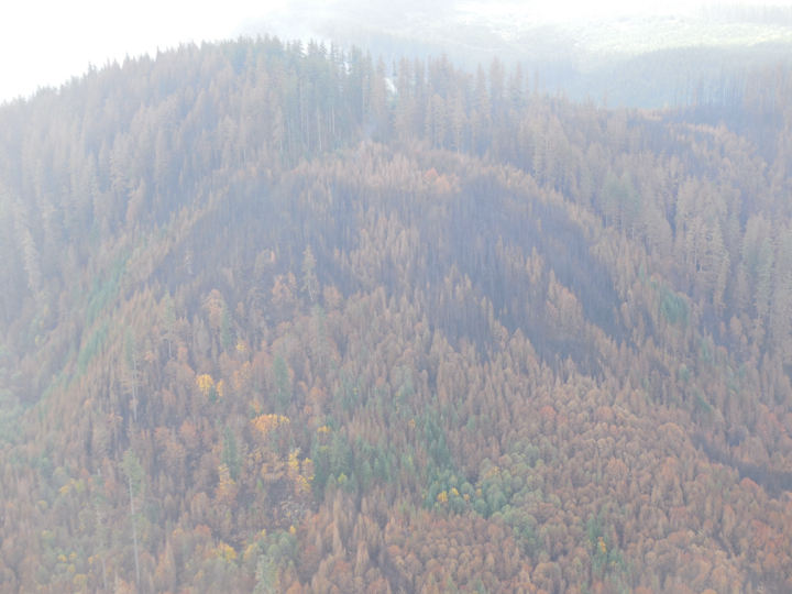
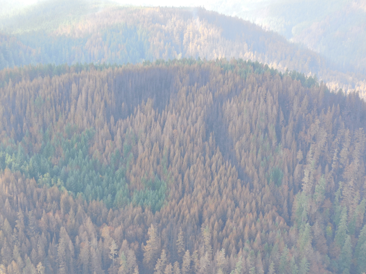
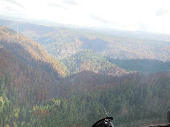
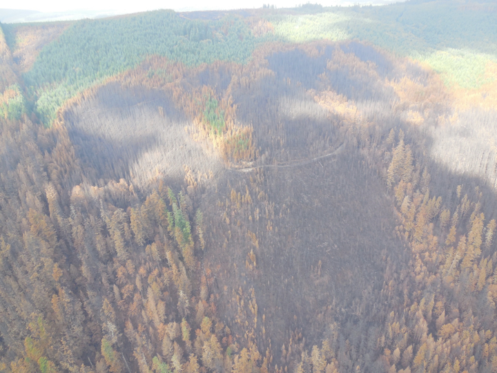
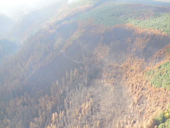
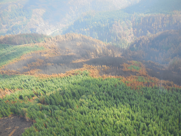
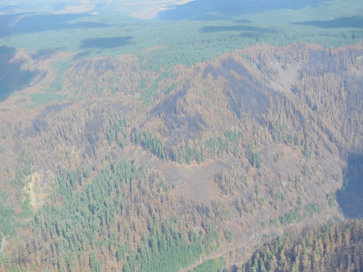
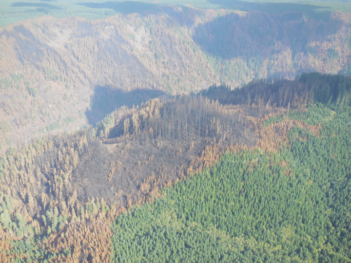
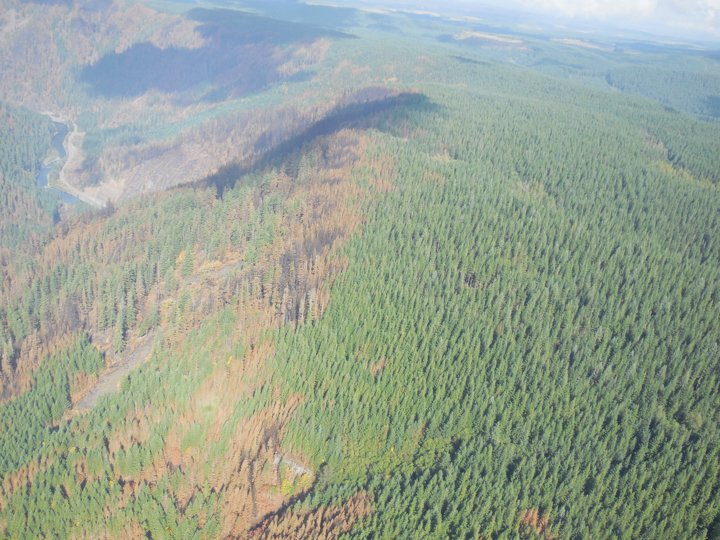
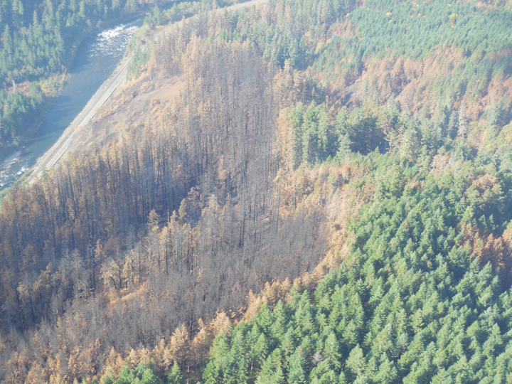
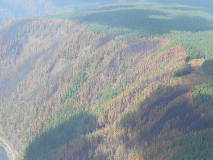
Folks, its MUCH worse up there than I was originally led to believe. Many of the trees that were green just after the fire passed through, turned yellow a week or two later. The amount of dead forest is multiple times larger than first thought. The fire area is still a patchwork of living and dead zones but the dead zones are a larger portion that was originally apparent.
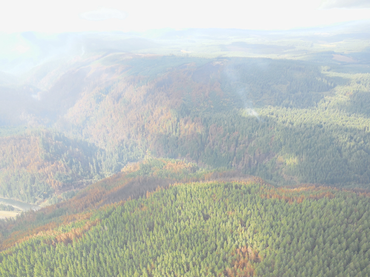
Below are some photos from the Forest Service taken from a helicopter very recently. These are from a Powerpoint presentation from the FS. They are free to distribute. I will try to find the exact date they were taken.
Notice the areas that are gray to black - those burned dead when the fire passed through. The ones that are yellow to orange were mostly green just after the fire. They either suffered heat damage to the needles or the cambium layer under the bark cooked near ground level.
The first pictures include Ladee flats and the north side of the river. The later ones are the south side looking towards Hillockburn Road. The Forest Service has a map of the picture locations which I will ask them for tomorrow. The very last photo shows smoke still rising on the Hillockburn side.

Wow! Thanks for the photos, as saddening as they are.
Wonder how the hwy faired through this rain storm
