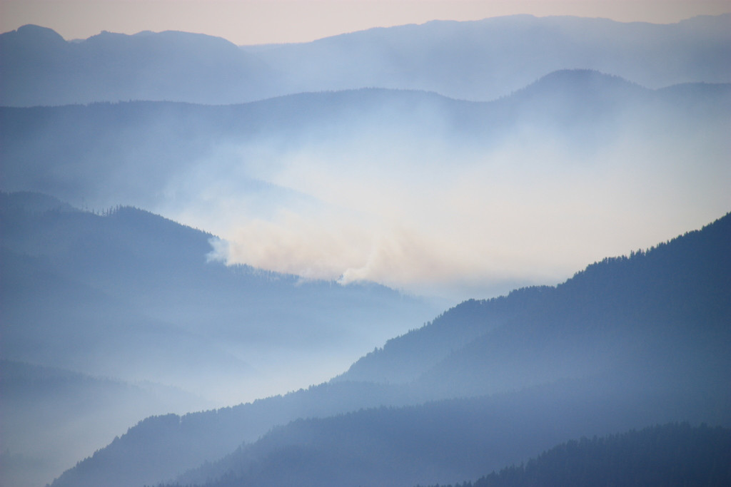
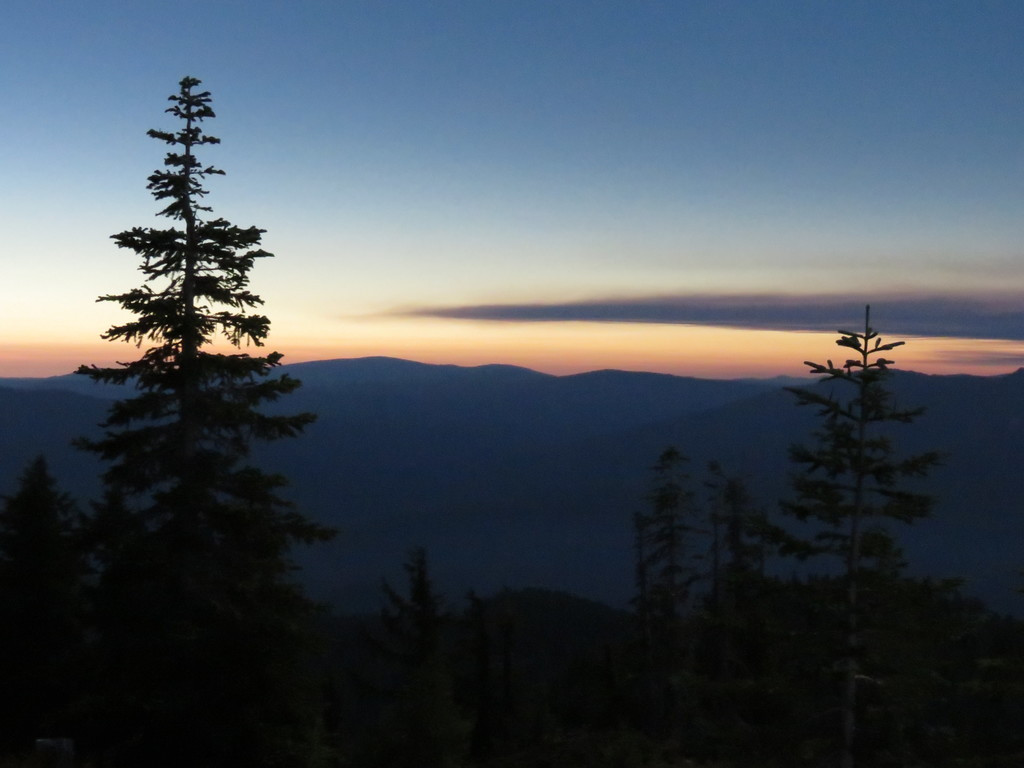
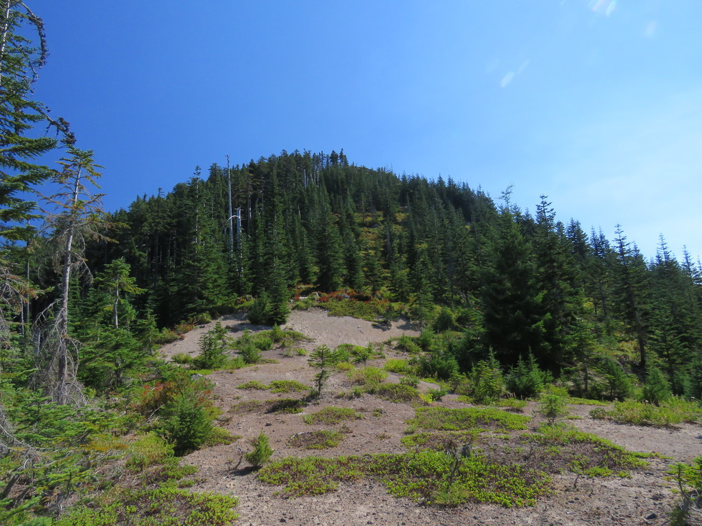
Some photos from my East Mtn eclipse outing. While I was up there a fire popped up south of my location and obscured Jeff in smoke - looked like a new fire to me.
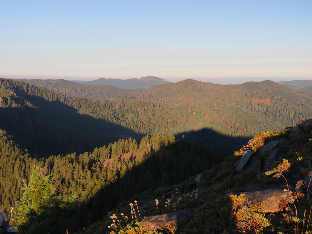
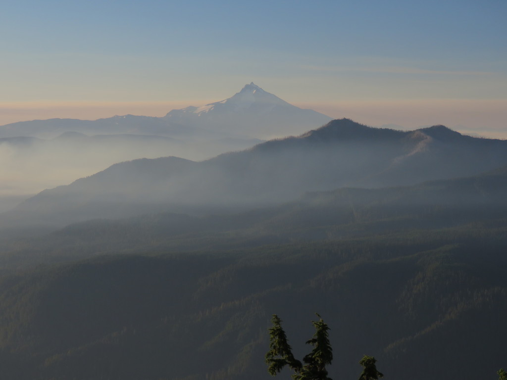
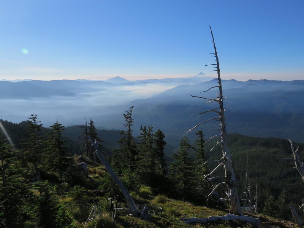
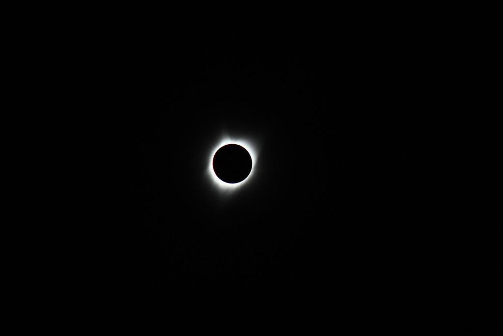
That is so cool, Paul. What a great spot to view the eclipse! And you got a GREAT shot of the total eclipse.
Looks like that fire might be the French Fire, which has been burning for about 10 days - says it was a lightning strike. It is just about directly south of East Mountain:
https://inciweb.nwcg.gov/incident/5513/
Either that, or it is so new it isn't on inciweb yet. There are quite a few fires in the Willamette Forest this year.
Cool pictures Paul!
Looks like that new fire is just east of the Collawash at Dunno Creek. Like you said it must be a new one. I found a map that had four hotspots from thermal imaging at Dunno Creek, but couldn't find any other information.
I called Clackamas RD office and they didn't know anything about it. They told me to call dispatch, so I did. It sounds like they know about it, but then they put me on hold and I gave up after a couple of minutes.
I decided to call again and they said it's at about 50 acres now and is being addressed. I guess we'll have to wait a bit until more info shows up on inciweb.
Here's a link to the dispatch website: https://gacc.nifc.gov/nwcc/districts/CCCC/
I was poking around and found that they've given it a name: Jazz.
Here's some stats:
| Date | Inc # | Name | Type | Location | WebComment | Acres | IC | Resources | Lat/Lon |
| 08/20/2017 15:23 | MHF-422 K90F (0606) |
Jazz | Wildfire | Rhod Ridge Area | . | 42 | Hans Schmidt Effective 0630 8/21/2017 | E-311 P-612 | 44 54.204, -121 59.364 |
kirk said
[...]
Looks like that new fire is just east of the Collawash at Dunno Creek. Like you said it must be a new one. I found a map that had four hotspots from thermal imaging at Dunno Creek, but couldn't find any other information.I called Clackamas RD office and they didn't know anything about it. They told me to call dispatch, so I did. It sounds like they know about it, but then they put me on hold and I gave up after a couple of minutes.
I decided to call again and they said it's at about 50 acres now and is being addressed. I guess we'll have to wait a bit until more info shows up on inciweb.
Here's a link to the dispatch website: https://gacc.nifc.gov/nwcc/districts/CCCC/
I was poking around and found that they've given it a name: Jazz.
[...]
Thanks Kirk for looking into this, the fire went from nothing to large in the short period of time I was waiting for the eclipse.
--Paul
If I'm reading this correctly, they're saying it's still at 42 acres. It looks like they may have allocated a few more resources to fight the fire. I wonder if it was started by logging operations?
It looks like the thermal images aren't showing any hot spots on today's map. Maybe they have it under control?
Edit: I just looked at another map, and it seems to show hot spots in the area. Here's the link: http://wildlandfire.maps.arcgis.com/apps/PublicInformation/index.html?appid=0c12ac1e89c24075a2be145f4db6caf5
|
Recent Incidents (Prepared 08/23/2017 15:48) |
|||||||||
| Date | Inc # | Name | Type | Location | WebComment | Acres | IC | Resources | Lat/Lon |
| 08/20/2017 15:23 | MHF-422 K90F (0606) |
Jazz | Wildfire | Rhod Ridge Area | . | 42 | Jeff Hammond Effective 0630 8/23/17 | Bat 13 E-311 P-612 | 44 54.204, -121 59.364 |
