I hiked the Corral Springs trail today - what an interesting trail! The beginning isn't all that great, but the further down the canyon you get, the more interesting (and faint) the trail becomes. There are some awesome viewpoints at the rock fields, and some fantastic views across the canyon.
The upper part of the trail was in great shape, however you could tell it doesn't get hiked much. The lower section started to get brushy in places and was difficult to follow as you got closer to the river. At a couple of points I wasn't sure I was on the trail. On the way back up, I lost the trail for a bit - it was easier to see it going down that going up - the undergrowth is getting so aggressive now it is hiding the trail.
I spent a fair amount of time on the way back up the hill doing pruning of vine maple, fir trees and rhodies (it was a good excuse to take "rest" breaks on the long slog back up the hill). I didn't have my loppers, so I was limited to smaller branches, but I think I improved the trail a fair amount. Also removed a lot of sticks and rocks from the trail - hopefully making it a little easier to follow. What the trail really needs down at the bottom is more boots on the trail. There are a few sections around the rockslides where the tread has kind of disappeared (slid down), so those areas need some tread work. But all in all, the trail was in pretty good shape - especially for an abandoned trail!
I have a few questions for you history buffs here:
- Where did Corral Springs get its name? Was there a horse Corral there at some point? I figure the springs are the ones at the junction of the Huxley Lake trail and Corral Springs. I did find evidence of what appears to be a corral (barbed wire) near the old campground, but don't know what the story is.
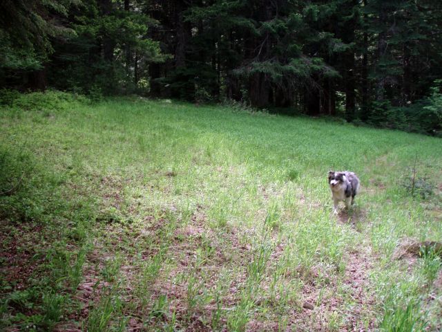
- A little bit past the "Corral", past the junction with Huxley Lake, there was a small clearing - it looks like there might have been a house or something there. Looking at the map, it is VERY close to an old spur road. Anyone know what was there? I didn't really see much evidence of a building or anything.
- At the start of the trail, before you get to the junction with Huxley Lake, there was some thinning or cutting or something - it was a very limited area, but it was definitely thinner than the rest of the forest. Anyone know what that is about?
- I found a pink ribbon tied to a tree down by the river - it said "PNW 7/27/10 Team #1" - anyone know what it means? The campsite didn't look to have been used for quite some time. Maybe two years ago was the last time anyone camped there.
- Near the base of the rockslides, there is what looked to be an area where a cabin may have been at one point. Anyone know anything about that? Or is my imagination running wild?
Lastly, some photos:
The clearing from question #2

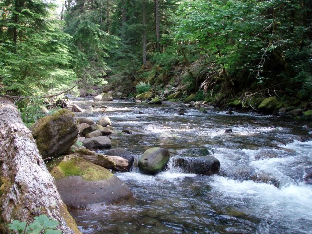
Everyone likes the Roaring River - it was Roaring pretty good today! What a beautiful river!

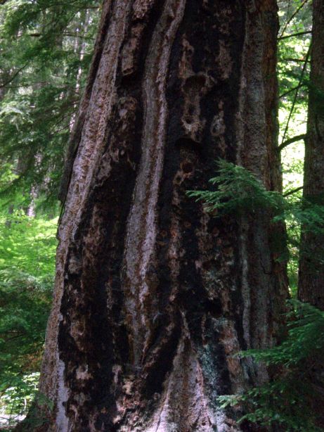
And Lastly, a photo of a VERY old tree - one that survived the fires:

I believe there was an enclosure there. There was a remain of fence crossing grate, kinda like roads in range country, but ATVs tore it up. Then just down the hill the other side of it. Wire in the trees both places. The spring was inside. A grazing allotment.
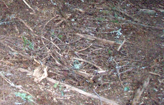
The soil is altered, that's for sure. I don't know why it hasn't grown in.
The cutting was a rodent habitat experiment, I think. I was there when they were cutting the best trees in the stand to make habitat. It made no sense to me as it seems like I was surrounded by habitat.
D.
So is this box the remains of the cattle crossing?

That is the only thing I saw on the trail that looked like it could have been one of those cattle grates. This has obviously been filled in over time.
That's what remains, yes.
D
