Hi, I received a map from the Forest Service showing the extent of the past 2 years of fire, so I posted it on my blog:
http://greencascadia.blogspot.com/2012/07/bull-of-woods-wilderness-fire-damage.html
Neat map - wow, that is a lot of damage....I would be interested to hike through some of it. Do you know if they have lifted the official closures? I've heard from people who have hiked through the area (ignoring the closures) that it really doesn't need to be closed anymore.
Thanks for posting it.
The travel ban wasn't exactly 'lifted'. It was allowed to expire as the original ban included an expiry date which has went by.
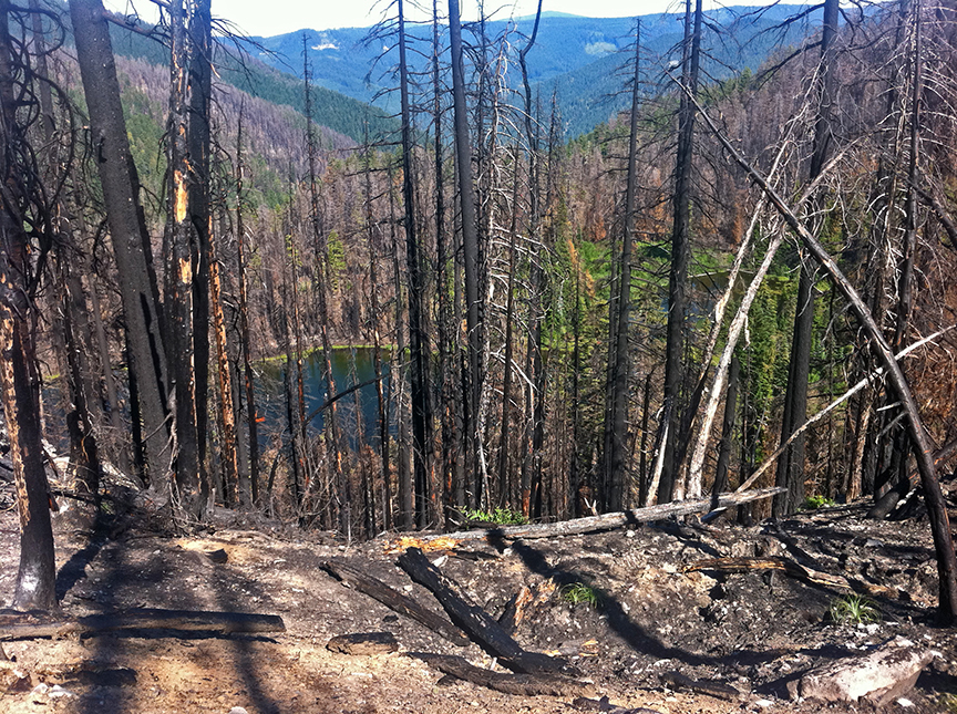
From my visit last summer I would say the boundary is more irregular than shown and some still green trees deep within the burn are not mapped. I was there before the second burn. It would be nice to be able to see the line where the two fires met on the east side.
This is Welcome Lake. Two areas skipped by the blaze (as crown fires anyway) are shown.