You guys were posting so much today I missed all the fun! I got Don's posting on my phone (minus the photo) and based on his clue, I wondered if it was the lower section of Cripple Creek. You guys just gave me a few more trails to put on my list...
Rob Williams said
You guys were posting so much today I missed all the fun! I got Don's posting on my phone (minus the photo) and based on his clue, I wondered if it was the lower section of Cripple Creek. You guys just gave me a few more trails to put on my list...
Was wondering where u were, I kept expecting you to snipe my guesses between my breaks and take the win! Them Mothers Day credit card offers must've kept u bankers busy
That photo of the lower Cripple Creek trail segment should have looked familiar Rob for you, Kirk and I hiked the trail during the winter a few years ago. That Nohorn Creek trail comes off the bottom end of the South Fork Mtn. Trail before it ties into the Bagby Trail. I had never looked for that one yet, but looking at the satellite photos it looks to be in old growth along the creek. It stays on the north side of the creek until it crosses back over where Brian found it near Hugh Creek. At the time I was more interested in the SFM trail and found several segments heading up to Baty Butte. There are also parts of the old Baby Trail scattered all the way to Austin Point.
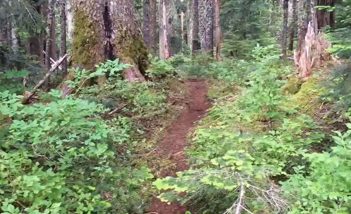
Ok here's an abandoned trail that's also NOT in a wilderness. This particular spot is in excellent shape. Someone had flagged this when I stumbled onto it. Subsequent looking through the TA archives found me a post of the finders. Elevation of trail? Normal years would find snow here for 5-6 months..

If u walked the trail behind me back in the day, you could've came to a place to fill your water. I don't know about you,but I don't generally drink out of lakes and random streams.... Take that as a hint
