Hi all,
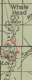
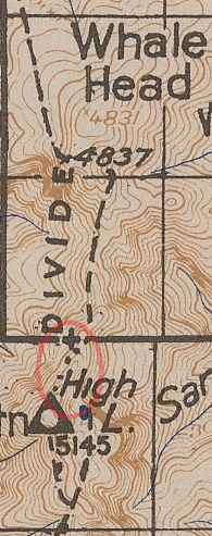
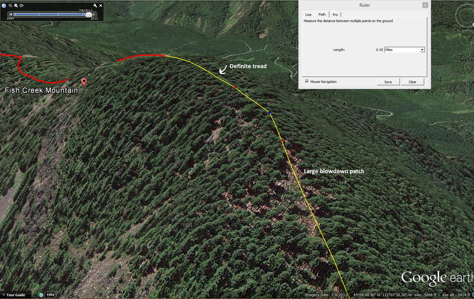
Just curious to see if anybody knows, or has tried to follow the alleged trail going north from F.C.M. that shows on at least three different maps I've found on here. I'm hoping to do a little exploring on the next trip I take up there, but was wondering what info I could gather before, if there even is any. Every map shows it as a dotted trail, instead of a dashed trail, which leads me to believe it probably wasn't maintained as well. A small sliver of the tread continues beyond Fish Creek Mountain, as shown on Google Earth.
1939 map:

1946 map:

And finally, the 1952 map:


I have seen those maps and wondered about that ridge trail, but never heard of anyone finding anything. Let us know what you find out.
Hey Dylan, did you ever get to explore north of FSM? That '+' sign on section line north is probably a benchmark, at least that has been my experience in the district. There is suppose to be a water trail from the lookout to the lake that saves you mileage, it is mentioned in the 1945 Brubaker's journal on this website, but I haven't located it. Also lookouts had wood trails to collect firewood and also trails to outhouses and garbage dumps.
Don
Unfortunately my efforts have been hampered by the recent closure of FR54, as I was planning on taking the shortcut trail to have more stamina for poking around up top. If found, it could make for a great loop option with the other section of the trail that's been located. I don't have as much of an interest in the elusive water trail, I'd imagine it'd involve crossing the many talus slopes that make up that drainage.
So Fish Creek road is closed again? They've been logging up there for years.
I did meet a log truck one time that was coming down that terribly steep section of road along Rimrock Creek. Luckily I was by a pullover and had no issue.
