Good info there. That is a key link (I think) in the old east west divide route from the Molalla to the Klamath Trail. With that link many pieces and some road walking one day we might be able to hike from Table Rock to Olallie country.
Rhodies are the worst. But, once cut out a hole will last a while. The elk might even use it.
D
I went back yesterday to make another try at finding this trail, and this time I found it. A logging road, now abandoned, destroyed the first 0.4 miles from Road 4696, but beyond that the trail is there. This trail has friends. At some time in the past it has been cleared, blazed and flagged. It is not always easy to follow and is not in the best of shape in some places, but it is there. Whoever has been taking care of this trail has done a heckuva job. Thank you, whoever you are.
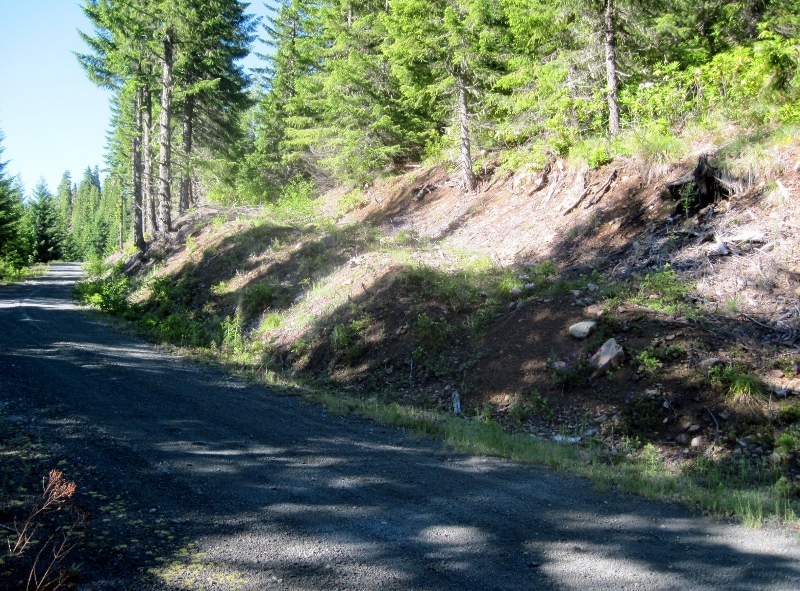
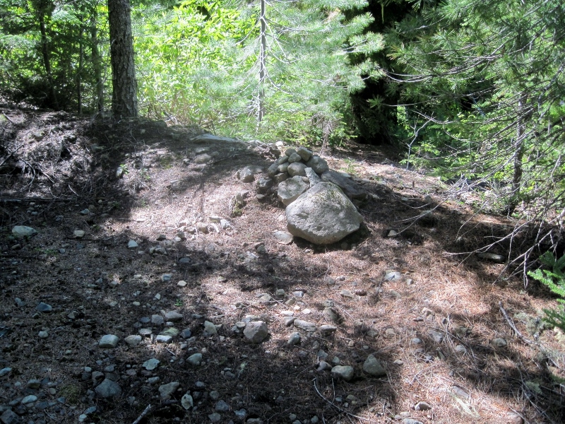
The beginning of the trail is marked by a small cairn at the edge of the logging road. Although there is no clear path from here through the rhodie thicket, it is possible to find a route following a path of old logs that takes you to the beginning of the cleared trail. I hung some flagging to show the route that I used. Much easier than thrashing around in the rhodies, as I did on my way in before I found the actual trail.
Many blazes like this one along the trail.
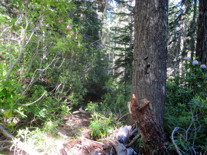
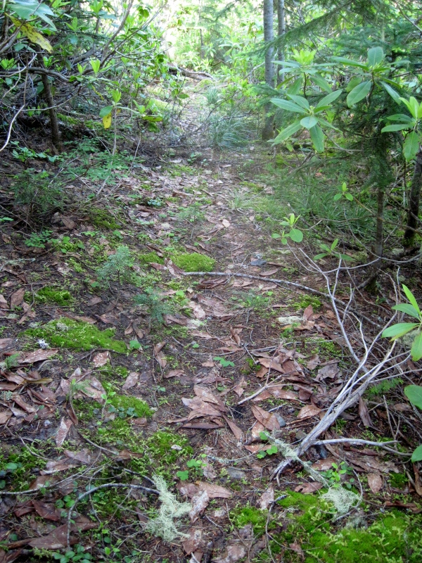
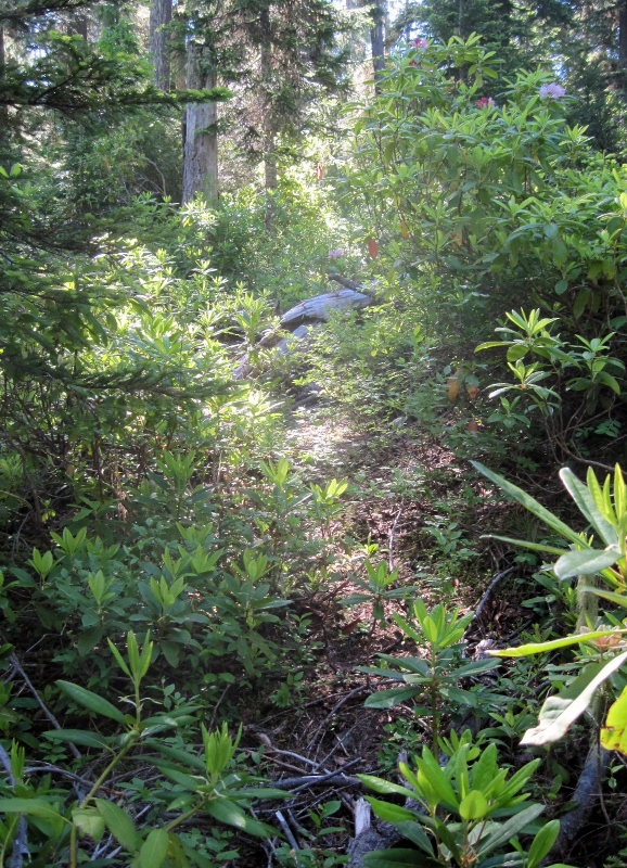
It's not all rhodie thickets. There are some open areas along the way.
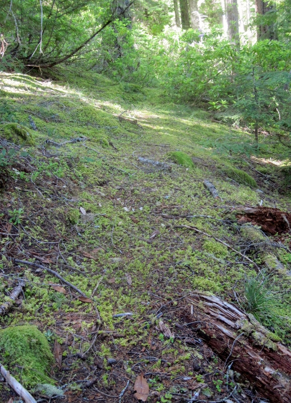
A particularly nice bit of trail. Most of it is not in as good a shape as this, though.
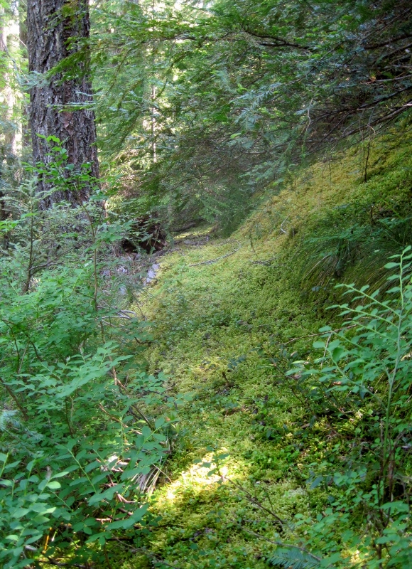
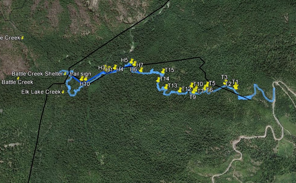
The route on the original map doesn't quite match the actual location in some places. Nothing new about that, I guess. As you can see, I got mixed up in a couple of places, but mostly the trail is not too difficult to follow. It's well flagged where it's ambiguous. I'm guessing that if you eliminate the mileage due to my wandering around, this trail is actually about 2 miles.
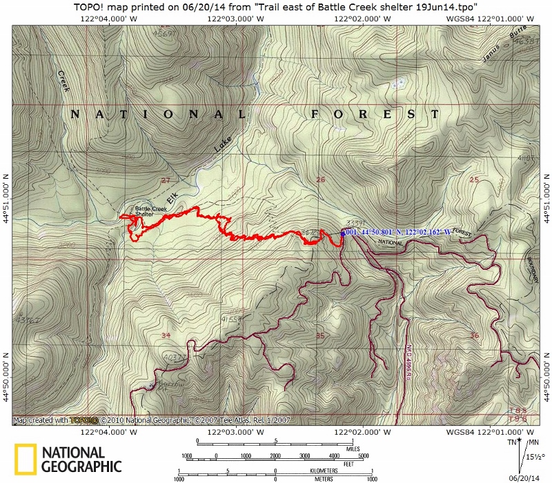

Distance to the trailhead on FR 4696 is about 70 miles from Estacada. Took me an hour and 45 minutes to drive from Estacada, with no other traffic on the road.
Very nice, Doug. So the road indeed was put down over the trail. Great news that the trail has survived, and survived in good shape!
Does this trail provide a shortcut to anything worthwhile?
That is really cool, Doug. Sounds like we need to get up there with some loppers to clear out the rhodies at the start of the trail. That is a neat shortcut to the heart of the Elk Lake Creek trail. I will have to make sure I get up there soon to check it out.
Thanks for posting the photos.
It is an alternate route into the BOW, but I think "shortcut" is in the eye of the beholder. It requires fewer miles of hiking to get to Battle Creek, but lots more driving than if you were to hike in from the Collawash trailhead.
Finding this trail was greatly aided by the kmz files from the Forest Service that Rob brought to our attention. Although the black line on the photo below was mostly off-course, it was exactly right at the east end of the trail and it led me right to where I needed to be. My marker "T1" is where I found the trail in the rhodies, having followed that line from the cairn at the edge of the road. Just a fluke, but it worked for me.
