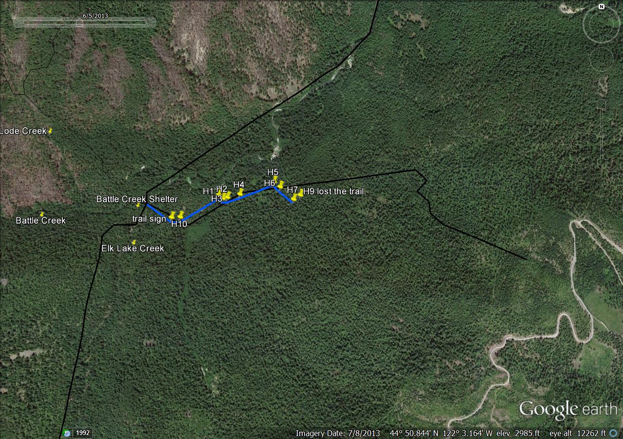
This trail shows up on the 1938 forest map as an extension of the Mother Lode trail, crossing Elk Lake Creek and continuing east to the ridge top. I followed the trail for a half-mile or so just about a year ago.
It shows up on some more recent maps as well. My gps track shows some deviation from the mapped trail. I thought I was on the trail most of the time, but maybe not. I'll be going back to check it out again.
I marked points along the way where I felt confident that I was on the trail. Again, I wonder if I wandered off-course toward the end.
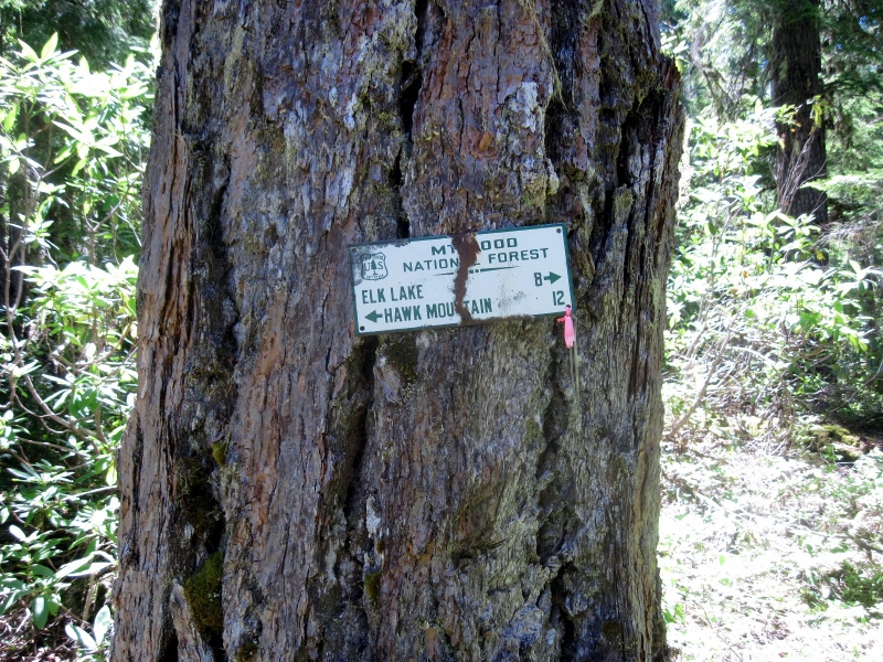
Just east of the Elk Lake Creek crossing, the trail is nicely marked by this sign. I don't understand the mileage figure to Elk Lake though. They must have been taking the scenic route.
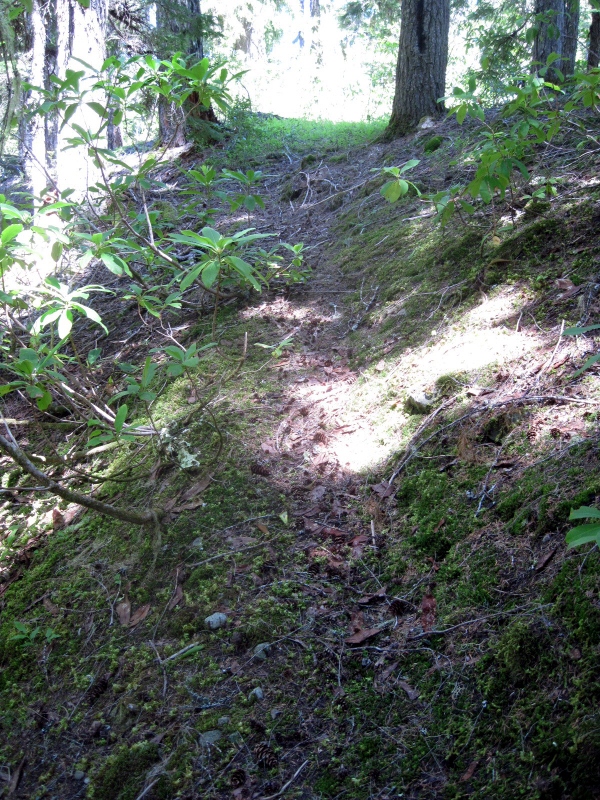
The trail just past the sign.
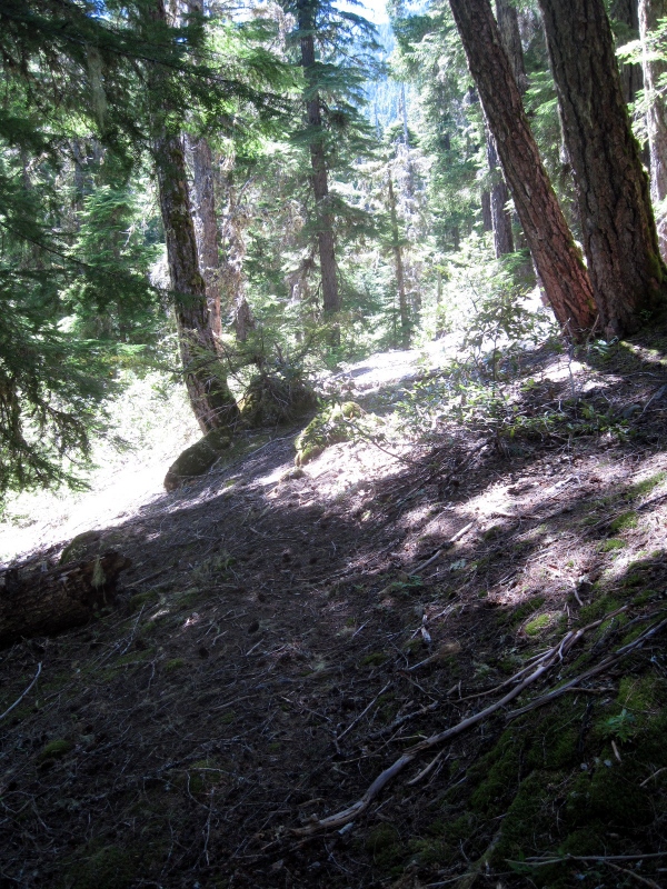
The trail heads down to cross a small stream.
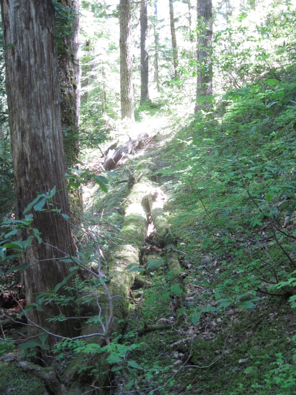
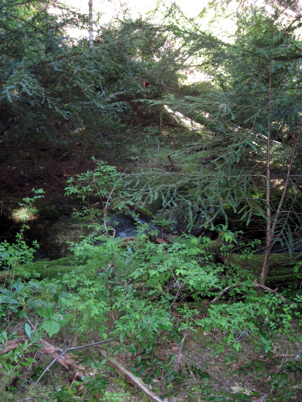
The stream crossing.
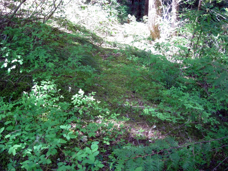
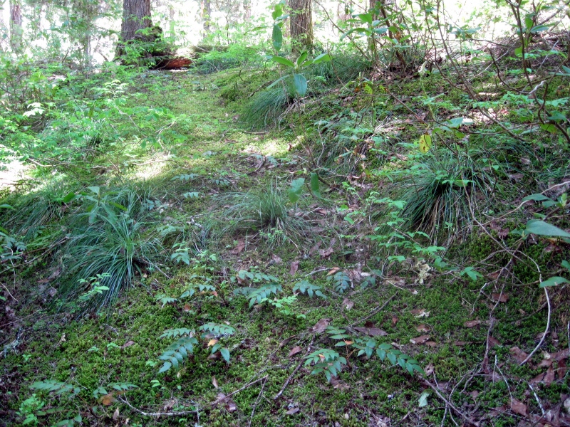
The forest is open and easy to walk through in some places.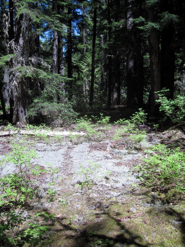

The rhodies became increasingly thick beyond this point. Somewhere past here I lost the trail.
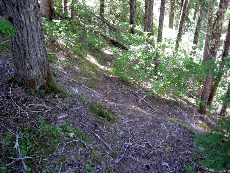
I plan to go back soon to take another look around and see if I can pick up the trail where I lost it. If I can follow it to where it starts to climb more steeply, I might have a better chance of finding the rest of it. It looks like it's been clearcut on top of the ridge, so it might be tough to locate the trail all the way to the road up there.
Doug:
Thank you for posting the photos and track. This is going on my "todo" list for sure. Looks like a neat place, although a bit of a long hike. Makes for an epic day.
Is that spur road open? That would make it really ez to do work on
The road to the upper end of the trail, Rd 4696, is open and is a very good road. Very easy access to that area, about 6+ miles from FR 46. That's where the easy part ends, though. The forest in that area is a rhodie jungle, making things difficult for travel and trail searching. I spent a few hours up there yesterday thrashing through the rhodies myself. I had no success in locating even a bit of the trail, although I did find my way back to where I last saw it down closer to Elk Lake Creek. But it took me so long to get down there that I had no time to do much exploring and instead turned around and headed back up the hill. This visit was a spur-of-the-moment thing, something I decided on mid-day after my original hiking plan fell through. Maybe with more time and preparation some progress could be made. I can't say that I'm looking forward to fighting those rhodies again, though.
The road in the clearcut appears to follow the general path of the trail. An endeavor for another day
