Thanks for the post, Doug. Too bad on the clearcut. Looks like a nice trail to explore
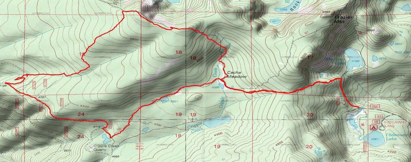
I decided to do a little follow-up searching for this trail yesterday. I thought I might find where the trail picks up again on the south side of the clearcut which would then lead me to the T-junction with the N-S trail. What I found was a continuation of the trail beyond the clearcut, but no T-junction. This trail led to the west and to Road 4635. This trail was not on the 1938 map so it must be more recent than that. It appears to continue on past the road crossing, but I didn't follow it any farther. I did some searching for the N-S trail in the vicinity of the clearcut but did not see anything.
On the map below, the dotted red lines indicate the general location of the trail shown on the 1938 map.
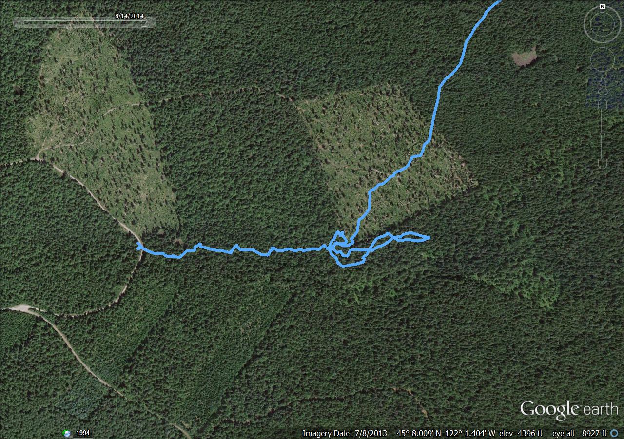
South edge of the clearcut where the trail heads off to the west.
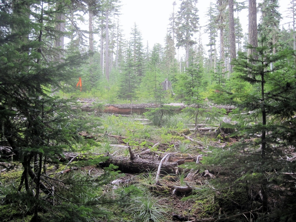
It passes through open forest for a while and then gets into heavier forest as it approaches the road.
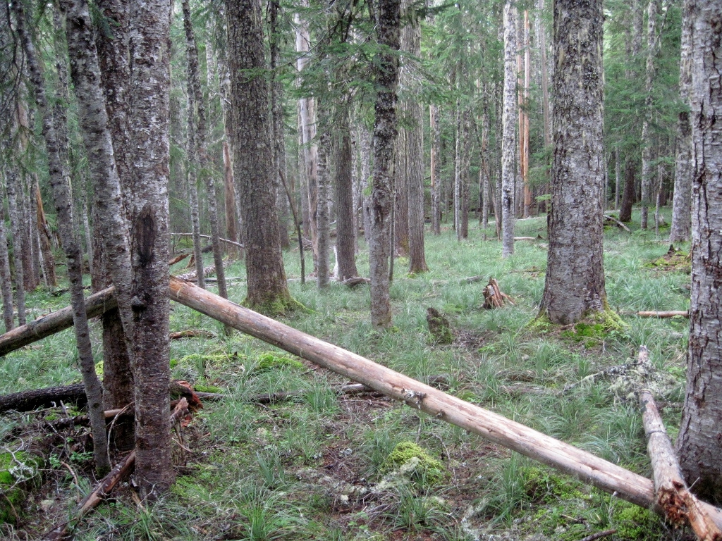
The trail crosses the road just south of a clearcut. I hung some orange flagging on a rhodie to mark the spot.
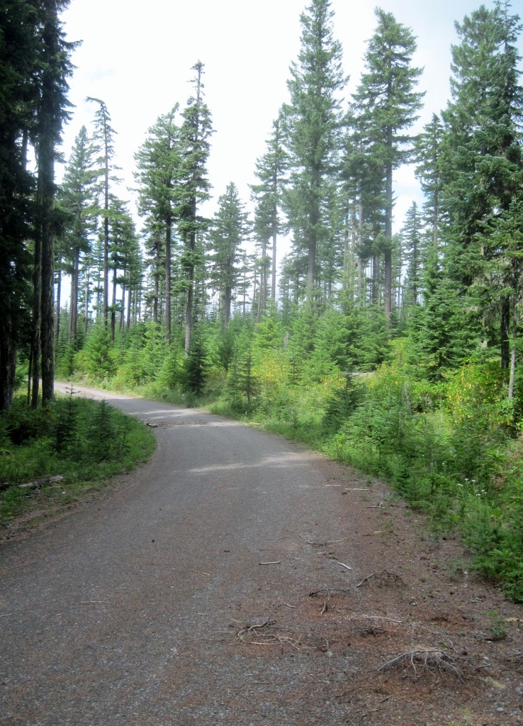
Road 4635 is closed for now due to construction at the lower end and on the road to Harriet Lake. The sign at Ripplebrook says that it won't reopen until Nov. 1.
Doug:
Thanks for posting this. I'm going out (for the first time in a while) next week, and I'm trying to decide amongst a few different explorations. When you did this, where did you start? Did you start at the Cache Meadow trailhead? Or at Frazier Turnaround? If 4635 is closed, it would seem like you couldn't get to Cache Meadow.
Interesting stuff!
P.S. - see my other posting about an old trail log - an artifact from our recent visit to the FS historian.
I started from the Shellrock Lake trailhead, took the old trail over the saddle to Cache Meadow, then followed the Grouse Point trail to the junction with the abandoned trail. You can't get to the Cache Meadow trailhead right now because of the road closure. If you don't want to take the long route that I did (it was 14 miles round-trip, including some other exploring which I will describe in another post soon), maybe you could come up the Cripple Creek trail to 4635 and walk the road to the lower end of the Three Lynx trail. It's about 3/4 mile (I know, because I walked the road in the other direction yesterday so that I could make a loop back to Cache Meadow). Whichever way you go, you're going to have to do a bit of walking to get to the way trail right now. In a few months you'll be able to drive right to it, unless of course it snows.
In any case, I prefer the Shellrock Lake trailhead to driving to Frazier turnaround. I'm assuming that you know about the old route from Shellrock Lake trail over to Cache Meadow.
Lots and lots of huckleberries in that whole area right now!
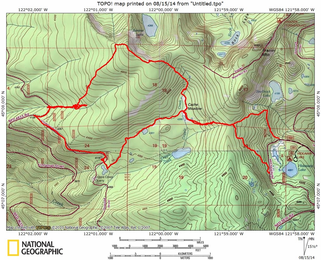
I did part of your loop today and easily found the Three Lynx Way trail. Most of it is really easy to follow - the tread isn't great, but if you pay attention it is easily followed. There are a few rough spots, but you flagged them well, so they were easy to get through.
Once at the clearcut, I walked around the edge of the clearcut to see if I could see the other trail (forgot the name of it). I was looking for anything that looked like tread, blazes or cut logs and found nothing of substance, until I stumbled across the exit of this trail from the clearcut! I thought I might have found the other trail, but soon realized it was this trail. Oh well.
Once at the 4635 road, I poked around on the other side for a while to see if I could see any evidence of the trail continuing. Alas, I found none - no blazes that I could see, nothing that looked like definitive tread, and no cut logs. I very well could have missed something, but there are a couple of seasonal creeks that flow through there, and it made it tough to discern anything. About the only thing I found was an old bottle in one short section of what might be tread:
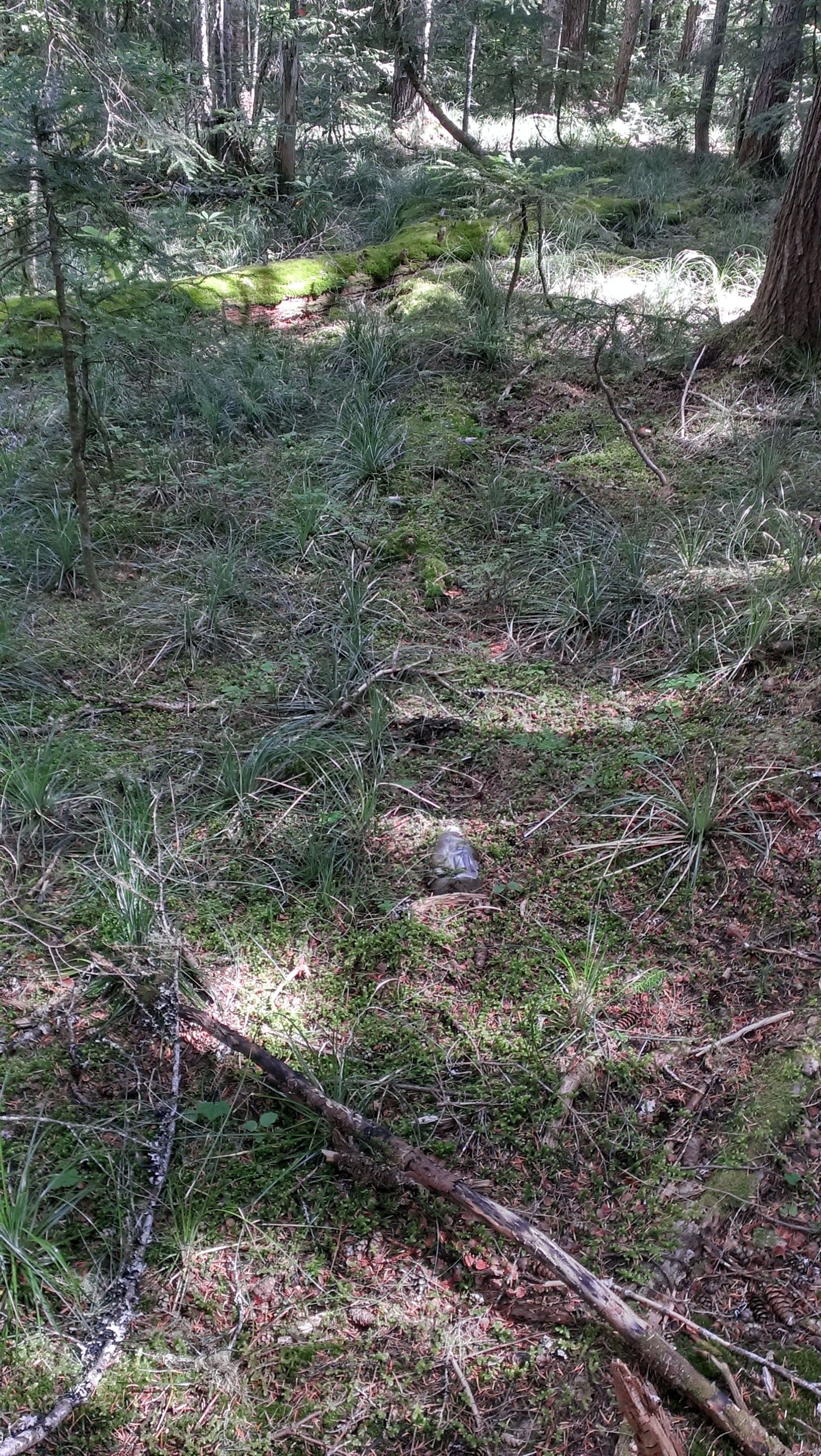
I think that was just garbage, though. I did find some old flagging, but it didn't seem to make much sense, and didn't seem like tread. After about a half hour of wandering around, I headed back up to the road to complete my loop.
While I didn't really find anything new, it was really cool to find this old trail - It was also neat to re-hike part of Cache Meadow and Grouse Point. Those really are neat trails - under appreciated I think.
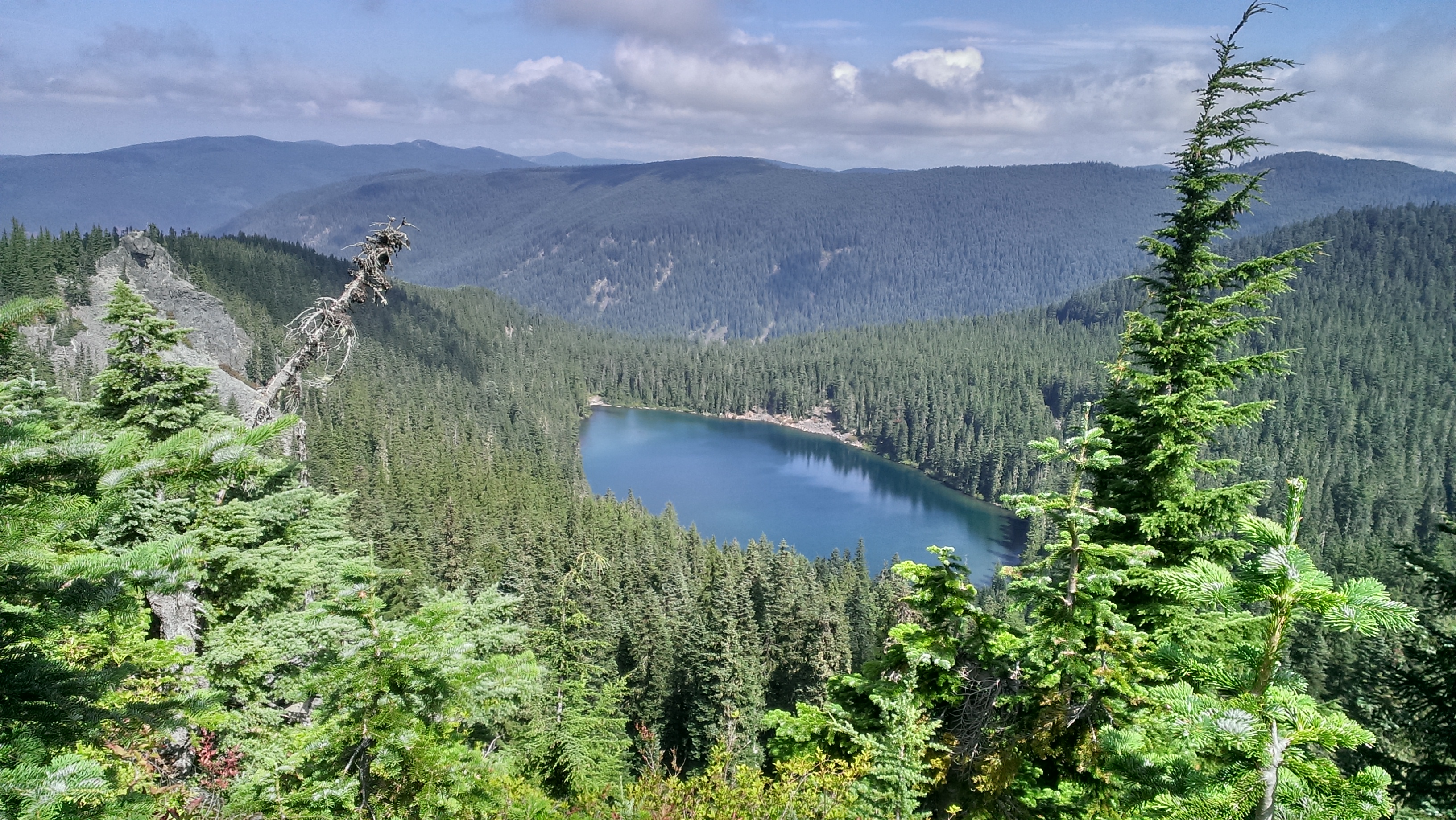
The other photo I just had to post was from the Helispot overlook above Serene Lake. I love this view!
Map from today:
