Hopefully that way trail gets saved
It will be fine. Only fire could wreck it. Burning out the blazes. The tread is rather minor.
That area is somewhat a barren. Bear grass and piss fir. Open. No undergrowth to speak of until the rim where the rhodies start and make the impenetrable thicket for several miles to the west. Easy to get lost because it looks the same in all directions. Like in lodgepole barrens.
D 2
Donovan said
Field trip.
Anytime you want to do a field trip, let me know. I'll drop whatever I'm doing and make sure I can come. The last field trip was extremely informative and productive.
Yesterday I was hiking the Rock Lakes loop and decided to take a quick look at the Three Lynx way trail. I followed it about 2/3 mile until it entered a clearcut. It is easy to follow up to that point even though the tread is minimal. The tread is still visible in spite of the encroaching beargrass and small trees, and there are plenty of blazes all along the way. I didn't go far into the cut area because I still had miles to go on my hike around the lakes basin and didn't have time to spend on more exploring. I flagged the location of the trail at the upper edge of the cut area to help anyone approaching from the lower end.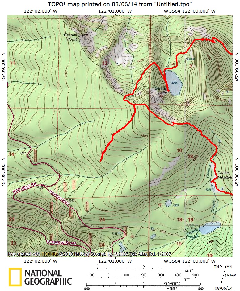
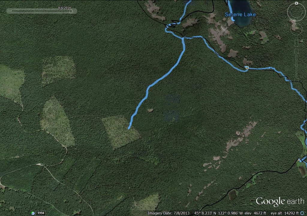
The upper end of the trail at its junction with the Grouse Point trail.
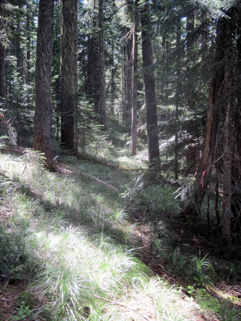
For most of the route, the forest is open, with little underbrush. As Donovan noted, it looks the same in all directions.
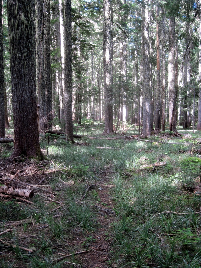
Here is where the trail enters a cut area. The tread was not obvious beyond this point.
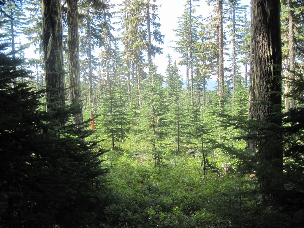
Overall, this upper end of the trail is in good shape, easy walking on a gentle grade in open forest. It would be interesting to know what condition it's in on the other side of the cut area.
Thanks for posting these, Doug! Another interesting find and one I will have to put on the "to explore" list.
