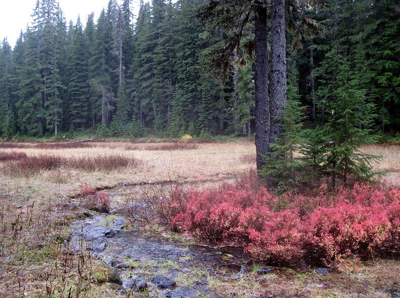
I was at Cache Meadow last week and was surprised to find a phone line insulator in a tree out in the meadow.
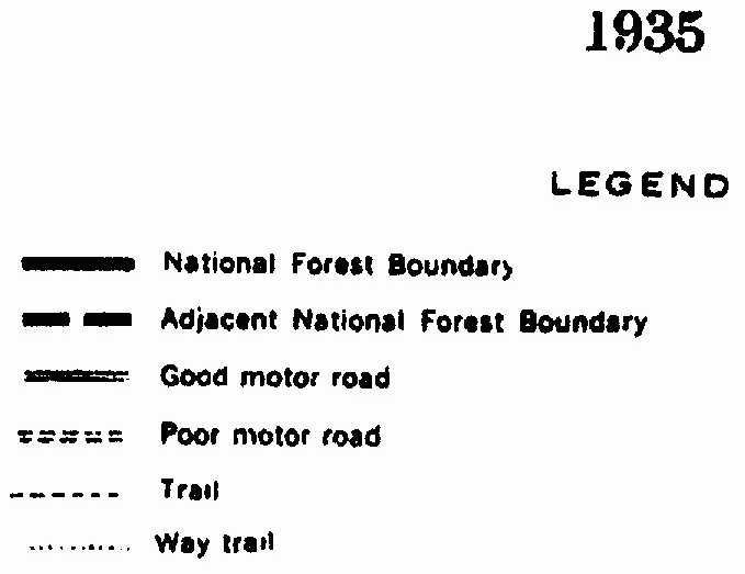
The 1938 map seems to indicate that a phone line ran from the Oak Grove ranger station through Cache Meadow to a high spot above Serene Lake, as well as over to Cottonwood Meadows. I've seen the phone line on the ground along the Rimrock Trail heading toward Cottonwood. I'm curious as to why phone lines would be needed at those places. Were there guard stations there overseeing grazing in those areas? I don't see any indications of that on the old maps. Does anyone know the answer?
There was some electrical stuff at the cabin at Cache Meadow, I was told there were batteries in there to boost the signal.
At Rimrock that was just a spot to send someone when needed to watch for smoke. A portable phone clipped to the line.
D.
As most of you have no doubt noticed, there is that bare phone wire scattered throughout the National Forest - along with the insulators. Uninsulated wire is pretty inefficient but that's what was used. Some of it is being hauled off by metal collectors.
Most of the wire ran to lookout towers, but some went to the more used campsites like Cache Meadows. The shelter there had a full set of phone equipment. You can see that sort of equipment at Hawk Mountain. The high spot above Serene Lake includes a large clearing and looks to once have had a cabin set a little ways back from the headwall cliff.
There is quite a bit of wire atop Baty Butte and along the ridge to the north. That probably went to the lookout on Thunder Mountain. It may have gone on down to Bagby and on to Bull of the Woods, or maybe those areas were serviced up the Hot Springs Fork. Unless someone can find old maps with the installed lines on them the complexity of that early fire fighting preparedness system will be lost.
I've never seen any phone equipment at Hawk Mountain. Where is it?
As to the route of the phone lines, the old '38 map shows where the lines ran (most of them anyway). The routes of the lines have dots next to them on the trails. It looks like you are correct, there was something at the top of the hill above Serene Lake - it looks like the line ran from Cache Meadow to that point - it went to Frazier Turnaround and then up the road to the old Indian Ridge Lookout.

Rob Williams said
I've never seen any phone equipment at Hawk Mountain. Where is it?As to the route of the phone lines, the old '38 map shows where the lines ran (most of them anyway). The routes of the lines have dots next to them on the trails. It looks like you are correct, there was something at the top of the hill above Serene Lake - it looks like the line ran from Cache Meadow to that point - it went to Frazier Turnaround and then up the road to the old Indian Ridge Lookout.
The remains of the lines are to the left of the door. There was likely a box over all of it, which is now gone. Only what the actual equipment (phones, fuses, batteries, controls etc.) plugged into is left, so it doesn't look like phone equipment anymore.
I see those dotted lines in the same locations on the 1935 map but they are labeled "Way trail" in the legend - so I always thought they were now disappeared side trails.