Rob, you should take a look at the history of PGE on the Clackamas. Most of your questions are answered there. It mentions Davis Ranch, the general locations of several work camps (no maps), and the North Fork project. It says that exploratory work for the North Fork project, above Cazadero, began in 1906 but was not actually constructed until the 1950s. Those guys were busy all up and down the Clackamas a hundred years ago, from Estacada to Big Bottom to Timothy Meadows! Those OHS photos are a great addition to the narrative.
Doug Firman said
Rob, you should take a look at the history of PGE on the Clackamas. Most of your questions are answered there. It mentions Davis Ranch, the general locations of several work camps (no maps), and the North Fork project. It says that exploratory work for the North Fork project, above Cazadero, began in 1906 but was not actually constructed until the 1950s. Those guys were busy all up and down the Clackamas a hundred years ago, from Estacada to Big Bottom to Timothy Meadows! Those OHS photos are a great addition to the narrative.
Thanks, Doug. Sometimes I should probably think more before I post. 🙂 Obviously when they are taking North Fork, they are talking the North Fork Reservoir. I was just thinking about the Oak Grove project only. Thanks for the reminder on that document, I had forgotten about it. It is very good. I will digest it more thoroughly.
There's also a bit of info about Davis Ranch of page 64 of the book "Estacada." Doesn't give it's precise location, saying that it was a 160-acre homestead located between Three Lynx and Austin Hot Springs. Chapter Four, "We Have Power," starting on page 49, has some interesting photos of the development of power projects on the Clackamas.
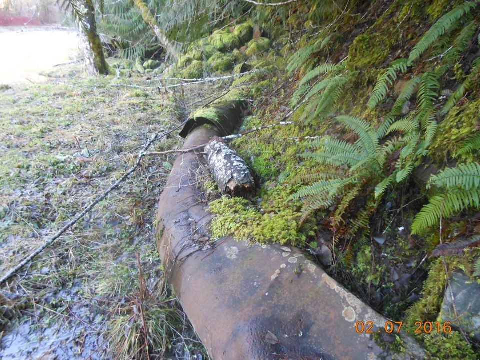
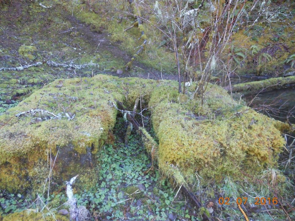
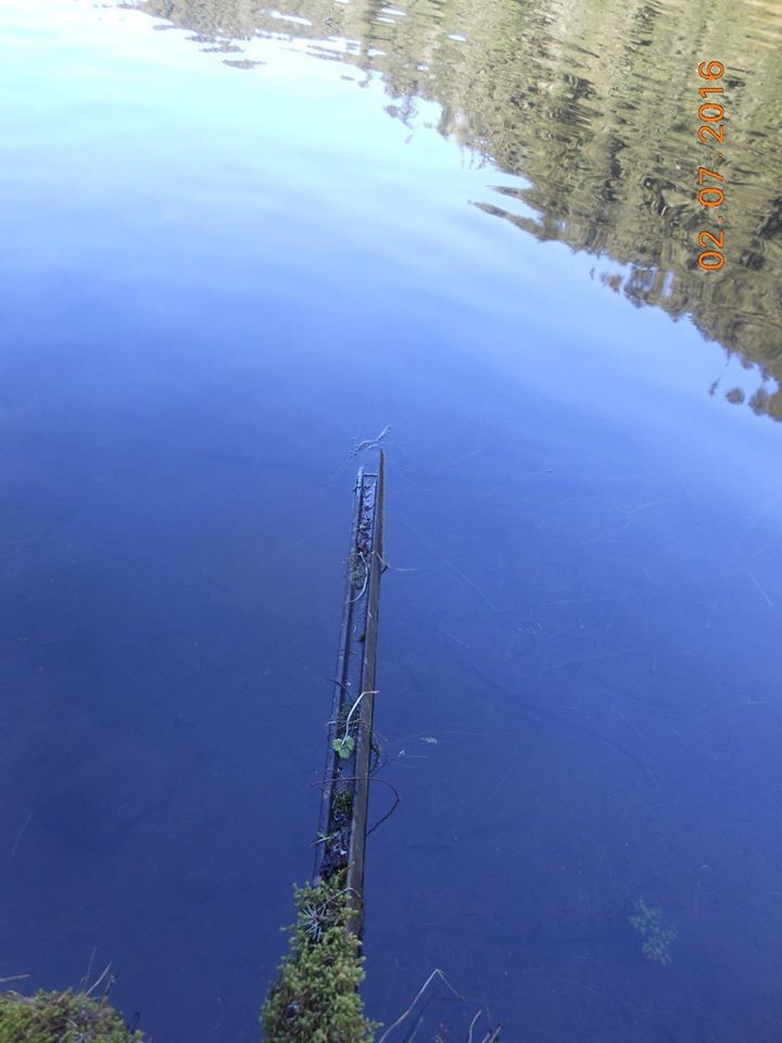
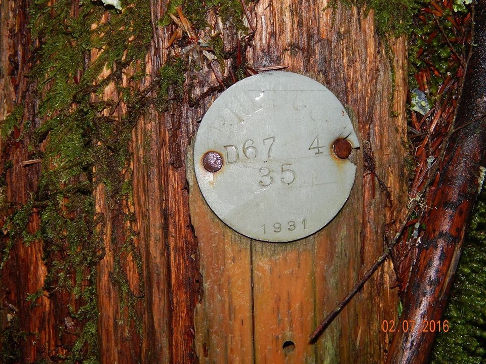
We went out there a few years ago to search out the tunnel and hiked down from the road. It's filled in at the lake, but there are still cart tracks and ventilation pipes there. If you stand on the fish platform, there is a concrete block on the other side of the lake. It has an ore cart track going into the lake. 4th pic is of a pole we found on the hillside above the lake.


Thanks for the pictures Steve. I think the initials at the top of that pole tag are PWPSCO. I'm trying to figure out what they stand for. Maybe Portland Willamette Power & Steam Company? It must be one of the names PGE went by before 1948 (from Wikipedia: "The company name became Portland Electric Power Company (PEPCO) in 1932. It was reorganized in 1948 as PGE.").
Does anyone know?
Is the rest of that PGE history available online anywhere? https://www.trailadvocate.org/scans/PGEHistoryClackamasRiver.pdf
That link for the video doesn't work any longer. 🙁
