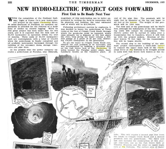
Wow, Kirk, you've been busy doing research! These are good finds. Thanks for posting them. It's sobering to think what the Clackamas country would be like today if Big Bottom and other dams had been built as planned.
That OHS page has a TON of photos of the Oak Grove project. I'm still wading thru them....
I'd really love to know which end of the tunnel they started - the north end or the south end? And if so, WHERE did it start? It would seem if you knew roughly the area it was it shouldn't be that hard to find, unless they filled the entrance in.... My rough calculations say it would be a LEAST 5 miles from Big Bottom to Harriet Lake - but maybe that isn't the route they were going to take?
I heard that they started the tunnel at the north end somewhere near Harriet Lake.
There are lots of interesting photos in that OHS collection. I am curious about the ones taken at Elk Lake. I wonder if they were thinking of building a dam at the outlet to increase the size of the lake to augment flows in the Collawash for power generation downstream on the Clackamas. There's a good photo of the ranger station at Elk Lake which I hadn't seen before. That's a keeper.
Bryon mentioned that the tunnel was started at Lake Harriet. https://www.trailadvocate.org/sf-forum/historical-items-of-interest/pges-oak-grove-hydroelectric-project/#p4506
It makes sense that they started at the north end since they had infrastructure there already. There's a picture at the Oregon Historical Society page that shows some guys near the tunnel entrance. https://digitalcollections.ohs.org/oak-grove-tunnel-party-of-officials-at-northern-portal
That tax case mentioned the length of the planned tunnel at around 20,000 feet. I seem to remember seeing an estimate of 19,xxx feet. Can't remember where I read that.

