North of Eagle Creek in the Salmon Huckleberry lies an old camp, only shown on older maps as "Douglas Camp". I can find no information on it.
Given its proximity to civilization, I'd suspect a cabin or horse camp was there at one time. Does anyone here know anything about this lost little camp?
An early 60s MHNF campground directory shows it as "1 tent site at 4000".
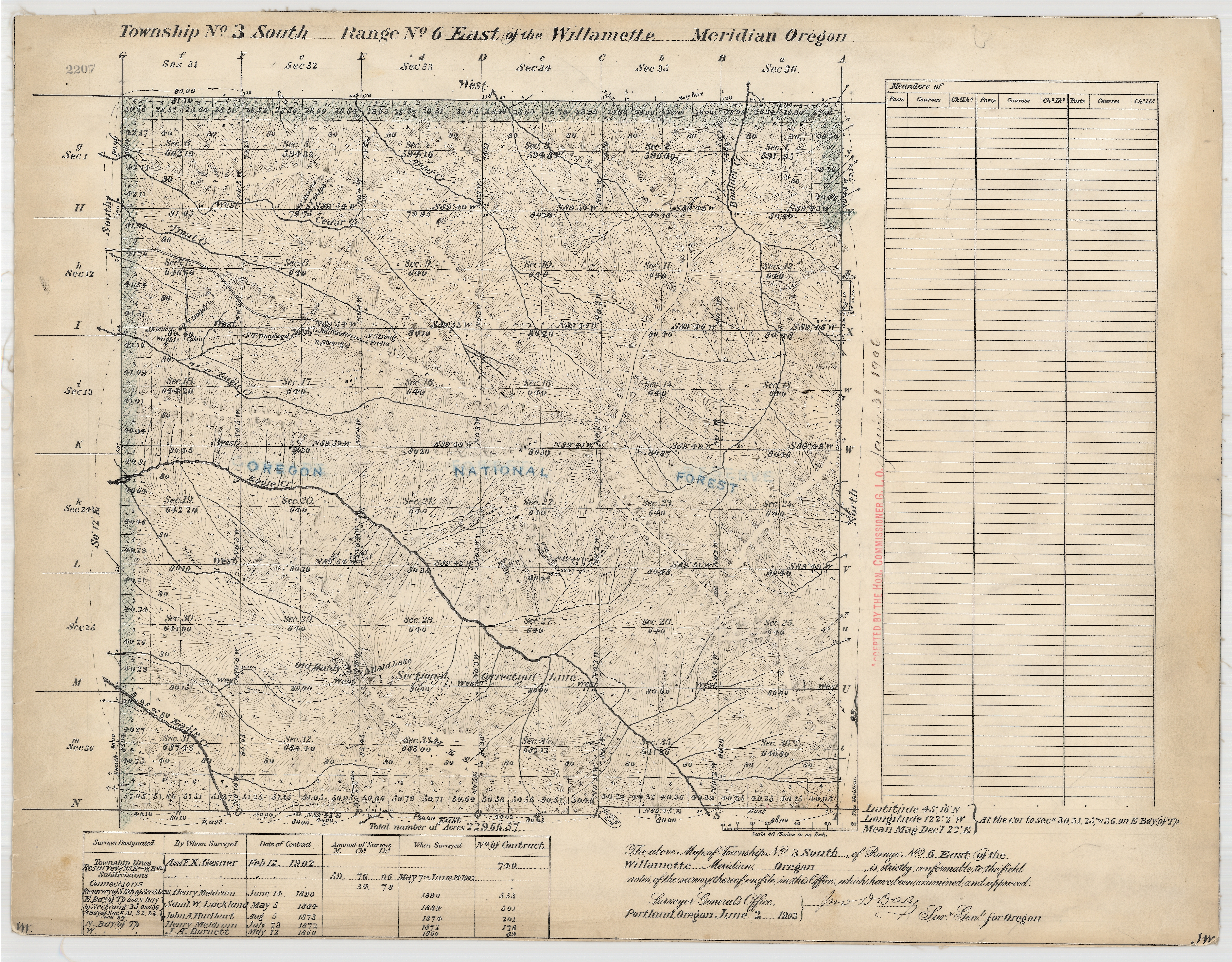
The 1860 US Surveyor Generals map (link below) shows a cabin associated with the name Douglas Jones. Just North of it in the style of these maps it states "Rough & Broken Land Unfit for settlement and Unsurveyed".
This is North of what is called on the map the North Fork of Eagle Creek. What is called the South Fork of Eagle Creek appears to be now called Delph Creek. This may be too far West for what you are looking for, but it may very well be related. The next map East shows nothing named Douglas, but does show cabins connected to others as well as trails and roads. Could you locate this camp a little more exactly?
Just want to point out since you boys are in the vicinity the decades mapping error showing an extra creek, or was it missing a creek, parallel to the now south fork.
D.


