Notifications
Clear all
Oct 20, 2020 1:43 pm
Log deck at the old weigh station on 224:

Looking near Memaloose Bridge:

Removing debris from 224:

Oct 22, 2020 9:49 am
Not sure where these are - they almost look to me like the old road near Fish Creek (which has been abandoned for years):


Oct 22, 2020 12:32 pm
I think that's the 45 road just above the gated bridge.
Oct 22, 2020 12:53 pm
kirk said
I think that's the 45 road just above the gated bridge.
Now that you say that, I can see it. Although I'm not sure that is a fair representation since that road had debris on it from the 36 pit fire. I don't think they ever repaired it. That road sure isn't opening any time soon!
Oct 26, 2020 11:46 am

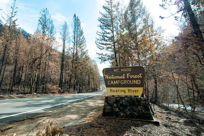
Looks like the sign survived but the trees in the campground didn't.
