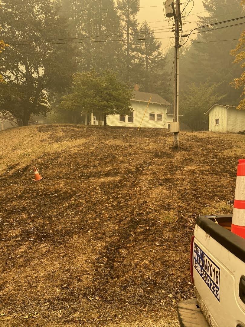
I thought I would post this link - it is a short ODOT video showing some of the burned area on 224 east/south of Estacada. It give you a small idea of what the burned area looks like:
https://twitter.com/i/status/1306725138394763266
If anyone finds any other photos or videos from inside the burn area I would appreciate if you posted links to them here.
From Three Lynx
Wow - that is WAY better than I was thinking it would be. That gives me a lot of hope it won't be as bad as it seemed!
Thank you for posting this. If you find more, please post them here.
I found a couple of aerial photos of Opal Creek showing most of it burned - posted on the Opal Creek facebook page:
https://www.facebook.com/opalcreekforest/posts/10157929119084412?comment_id=10157931045094412
I tried to post them directly here but I'm guessing facebook blocked them.
Most of the buildings burned it sounds like, but one cabin is still standing.
A couple more from the inciweb site:
Rainbow Campground - 9/16/2020:

Highway 224 near Carter Bridge:

